77 Cross Hwy Redding, CT 06896
Estimated Value: $764,000 - $1,084,000
4
Beds
3
Baths
2,072
Sq Ft
$426/Sq Ft
Est. Value
About This Home
This home is located at 77 Cross Hwy, Redding, CT 06896 and is currently estimated at $882,454, approximately $425 per square foot. 77 Cross Hwy is a home located in Fairfield County with nearby schools including Redding Elementary School, John Read Middle School, and Joel Barlow High School.
Ownership History
Date
Name
Owned For
Owner Type
Purchase Details
Closed on
Nov 13, 2018
Sold by
Blocher Kent P and Putnam Christy
Bought by
Kent P Blocher T
Current Estimated Value
Purchase Details
Closed on
May 12, 2004
Sold by
Scott Joseph and Scott Reita May
Bought by
Blocher Kent and Putnam Christy
Home Financials for this Owner
Home Financials are based on the most recent Mortgage that was taken out on this home.
Original Mortgage
$500,000
Interest Rate
5.47%
Purchase Details
Closed on
Jul 10, 1989
Sold by
Lazovsky George F
Bought by
Zacharias Joan D
Home Financials for this Owner
Home Financials are based on the most recent Mortgage that was taken out on this home.
Original Mortgage
$187,600
Interest Rate
10.38%
Create a Home Valuation Report for This Property
The Home Valuation Report is an in-depth analysis detailing your home's value as well as a comparison with similar homes in the area
Home Values in the Area
Average Home Value in this Area
Purchase History
| Date | Buyer | Sale Price | Title Company |
|---|---|---|---|
| Kent P Blocher T | -- | -- | |
| Blocher Kent | $649,000 | -- | |
| Zacharias Joan D | $325,000 | -- |
Source: Public Records
Mortgage History
| Date | Status | Borrower | Loan Amount |
|---|---|---|---|
| Previous Owner | Zacharias Joan D | $500,000 | |
| Previous Owner | Zacharias Joan D | $142,000 | |
| Previous Owner | Zacharias Joan D | $191,000 | |
| Previous Owner | Zacharias Joan D | $187,600 |
Source: Public Records
Tax History
| Year | Tax Paid | Tax Assessment Tax Assessment Total Assessment is a certain percentage of the fair market value that is determined by local assessors to be the total taxable value of land and additions on the property. | Land | Improvement |
|---|---|---|---|---|
| 2025 | $12,008 | $406,500 | $150,600 | $255,900 |
| 2024 | $11,675 | $406,500 | $150,600 | $255,900 |
| 2023 | $11,256 | $406,500 | $150,600 | $255,900 |
| 2022 | $11,266 | $337,900 | $164,100 | $173,800 |
| 2021 | $11,097 | $337,900 | $164,100 | $173,800 |
| 2020 | $11,097 | $337,900 | $164,100 | $173,800 |
| 2019 | $11,097 | $337,900 | $164,100 | $173,800 |
| 2018 | $10,718 | $337,900 | $164,100 | $173,800 |
| 2017 | $10,240 | $345,700 | $179,300 | $166,400 |
| 2016 | $10,108 | $345,700 | $179,300 | $166,400 |
| 2015 | $9,994 | $345,700 | $179,300 | $166,400 |
| 2014 | $9,994 | $345,700 | $179,300 | $166,400 |
Source: Public Records
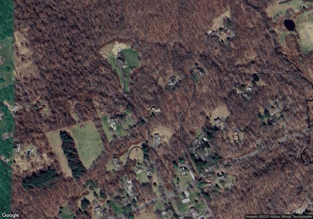
Map
Nearby Homes
- 241 Black Rock Turnpike
- 7 Long Meadow Ln
- 2 Longwood Dr
- 41 Deer Hill Rd
- 45 Great Pasture Rd
- 63 Turney Rd
- 24 Costa Ln
- 36 Fox Run Rd
- 193 Chestnut Ridge Rd
- 299 Redding Rd
- 138 Putnam Park Rd
- 229 Umpawaug Rd
- 22 Ledgewood Rd
- 2 Brick School Dr
- 173 Chestnut Ridge Rd
- lot5B Nicolina Way
- 9 Nicolina Way
- 54 Rock House Rd
- 18 Sebastian Tr
- 6 Vona Way
- 83 Cross Hwy
- 79 Cross Hwy
- 71 Cross Hwy
- 75 Cross Hwy
- 85 Cross Hwy
- 69 Cross Hwy
- 91 Cross Hwy
- 89 Cross Hwy
- 67 Cross Hwy
- 65 Cross Hwy
- 65 Cross Hwy Unit B
- 93 Cross Hwy
- 97 Cross Hwy
- 95 Cross Hwy
- 76 Cross Hwy
- 84 Cross Hwy
- 24 Mohawk Trail (Aka 24 Lonetown) Rd
- 24 Lonetown Rd
- 24 Mohawk (Aka 24 Lonetown Rd) Trail
- 70 Cross Hwy
Your Personal Tour Guide
Ask me questions while you tour the home.