77 Curtis Rd Middlebury, CT 06762
Estimated Value: $818,000 - $1,131,000
6
Beds
5
Baths
5,429
Sq Ft
$190/Sq Ft
Est. Value
About This Home
This home is located at 77 Curtis Rd, Middlebury, CT 06762 and is currently estimated at $1,033,271, approximately $190 per square foot. 77 Curtis Rd is a home located in New Haven County with nearby schools including Middlebury Elementary School, Memorial Middle School, and Pomperaug Regional High School.
Ownership History
Date
Name
Owned For
Owner Type
Purchase Details
Closed on
Aug 14, 2017
Sold by
Muick Susan L
Bought by
Giangarra Joseph J
Current Estimated Value
Purchase Details
Closed on
Jan 12, 1995
Sold by
Sperry Charles
Bought by
Muick Joe and Muick Susan
Create a Home Valuation Report for This Property
The Home Valuation Report is an in-depth analysis detailing your home's value as well as a comparison with similar homes in the area
Home Values in the Area
Average Home Value in this Area
Purchase History
| Date | Buyer | Sale Price | Title Company |
|---|---|---|---|
| Giangarra Joseph J | -- | -- | |
| Giangarra Joseph J | -- | -- | |
| Muick Joe | $280,000 | -- | |
| Muick Joe | $280,000 | -- |
Source: Public Records
Mortgage History
| Date | Status | Borrower | Loan Amount |
|---|---|---|---|
| Previous Owner | Muick Joe | $310,800 | |
| Previous Owner | Muick Joe | $196,000 | |
| Previous Owner | Muick Joe | $211,000 |
Source: Public Records
Tax History
| Year | Tax Paid | Tax Assessment Tax Assessment Total Assessment is a certain percentage of the fair market value that is determined by local assessors to be the total taxable value of land and additions on the property. | Land | Improvement |
|---|---|---|---|---|
| 2025 | $18,436 | $566,900 | $82,400 | $484,500 |
| 2024 | $18,481 | $566,900 | $82,400 | $484,500 |
| 2023 | $18,288 | $566,900 | $82,400 | $484,500 |
| 2022 | $17,721 | $566,900 | $82,400 | $484,500 |
| 2021 | $14,068 | $403,900 | $93,300 | $310,600 |
| 2020 | $14,177 | $403,900 | $93,300 | $310,600 |
| 2019 | $13,490 | $403,900 | $93,300 | $310,600 |
| 2018 | $13,131 | $403,900 | $93,300 | $310,600 |
| 2017 | $12,719 | $403,900 | $93,300 | $310,600 |
| 2016 | $12,776 | $412,000 | $103,900 | $308,100 |
| 2015 | $12,409 | $412,000 | $103,900 | $308,100 |
| 2014 | $12,088 | $412,000 | $103,900 | $308,100 |
Source: Public Records
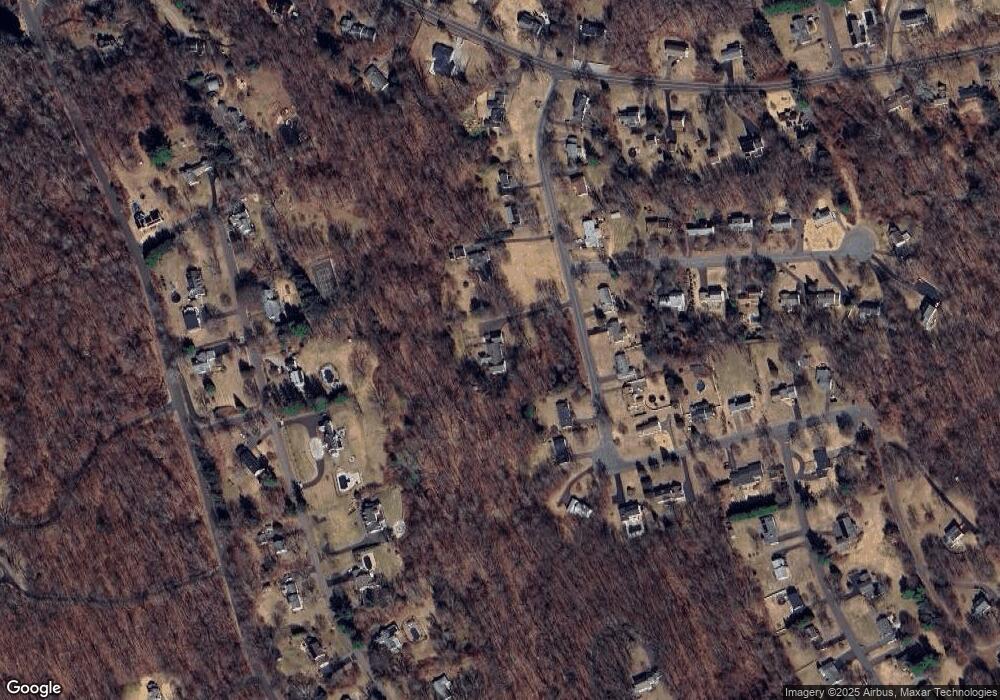
Map
Nearby Homes
- 61 Sandy Hill Rd
- 117 Crest Rd
- 35 Nutmeg Rd Unit D1
- 3 Pine Ridge Unit 23
- 72 Carriage Dr
- 775 South St Unit 777
- 152 Glenwood Ave
- 0 Ferndale Ave
- 1 Arrowwood Ct Unit 1
- 16 Winding Trail
- 321 Artillery Rd
- 57 Mistywood Ln
- 10 Old Waterbury Rd
- 24 Ridgewood Dr
- 428 Breakneck Hill Rd
- 0 Westover Dr
- 0 Mason Ave
- 110 Wooster Ave
- 288 Watertown Rd Unit Lot 5
- 75 Gleneagle Rd
Your Personal Tour Guide
Ask me questions while you tour the home.