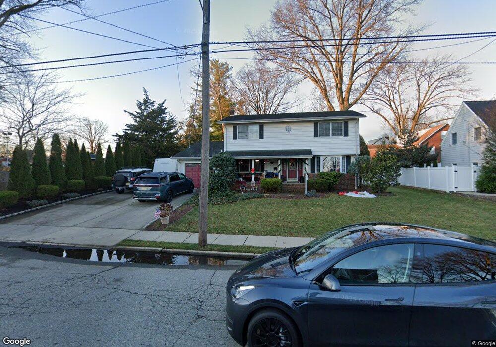
77 David St South River, NJ 08882
Estimated Value: $560,616 - $666,000
--
Bed
--
Bath
1,800
Sq Ft
$345/Sq Ft
Est. Value
About This Home
This home is located at 77 David St, South River, NJ 08882 and is currently estimated at $620,154, approximately $344 per square foot. 77 David St is a home located in Middlesex County with nearby schools including South River Primary School, South River Elementary School, and South River Middle School.
Ownership History
Date
Name
Owned For
Owner Type
Purchase Details
Closed on
Jun 11, 2012
Sold by
Markowski Susan C
Bought by
Goode Denise and Markowski Lori
Current Estimated Value
Home Financials for this Owner
Home Financials are based on the most recent Mortgage that was taken out on this home.
Original Mortgage
$228,000
Interest Rate
3.84%
Mortgage Type
New Conventional
Create a Home Valuation Report for This Property
The Home Valuation Report is an in-depth analysis detailing your home's value as well as a comparison with similar homes in the area
Home Values in the Area
Average Home Value in this Area
Purchase History
| Date | Buyer | Sale Price | Title Company |
|---|---|---|---|
| Goode Denise | $285,000 | None Available |
Source: Public Records
Mortgage History
| Date | Status | Borrower | Loan Amount |
|---|---|---|---|
| Closed | Goode Denise | $228,000 |
Source: Public Records
Tax History Compared to Growth
Tax History
| Year | Tax Paid | Tax Assessment Tax Assessment Total Assessment is a certain percentage of the fair market value that is determined by local assessors to be the total taxable value of land and additions on the property. | Land | Improvement |
|---|---|---|---|---|
| 2025 | $8,764 | $344,100 | $140,000 | $204,100 |
| 2024 | $8,503 | $344,100 | $140,000 | $204,100 |
| 2023 | $8,503 | $344,100 | $140,000 | $204,100 |
| 2022 | $8,355 | $344,100 | $140,000 | $204,100 |
| 2021 | $5,988 | $344,100 | $140,000 | $204,100 |
| 2020 | $7,870 | $344,100 | $140,000 | $204,100 |
| 2019 | $8,237 | $100,000 | $26,000 | $74,000 |
| 2018 | $8,039 | $100,000 | $26,000 | $74,000 |
| 2017 | $7,745 | $100,000 | $26,000 | $74,000 |
| 2016 | $7,452 | $100,000 | $26,000 | $74,000 |
| 2015 | $7,285 | $100,000 | $26,000 | $74,000 |
| 2014 | $7,118 | $100,000 | $26,000 | $74,000 |
Source: Public Records
Map
Nearby Homes
- 147 Old Bridge Turnpike
- 67 Kamm Ave
- 139 Old Bridge Turnpike
- 216 Willett Ave
- 28 Johnson Place
- 166 Joseph St
- 212 Old Bridge Turnpike
- 86 Hillside Ave
- 149 Prigmore St
- 175 Willett Ave
- 3 Ford St
- 68 Old Bridge Turnpike
- 19 Frandsen Ave
- 22 Roosevelt St
- 33 W Grochowiak St
- 29 Wilson Ave
- 18 Milltown Rd
- 1 Stanton St
- 16 Pulawski Ave
- 17 Pulawski Ave
- 27 Morningside Ave
- 75 David St
- 80 David St
- 23 Morningside Ave
- 32 Morningside Ave
- 26 Morningside Ave
- 70 David St
- 24 Morningside Ave
- 90 James St
- 40 Morningside Ave
- 88 James St
- 86 James St
- 21 Morningside Ave
- 22 Morningside Ave
- 31 Claremont Ave
- 44 Morningside Ave
- 29 Claremont Ave
- 39 Claremont Ave
- 64 David St
- 25 Claremont Ave