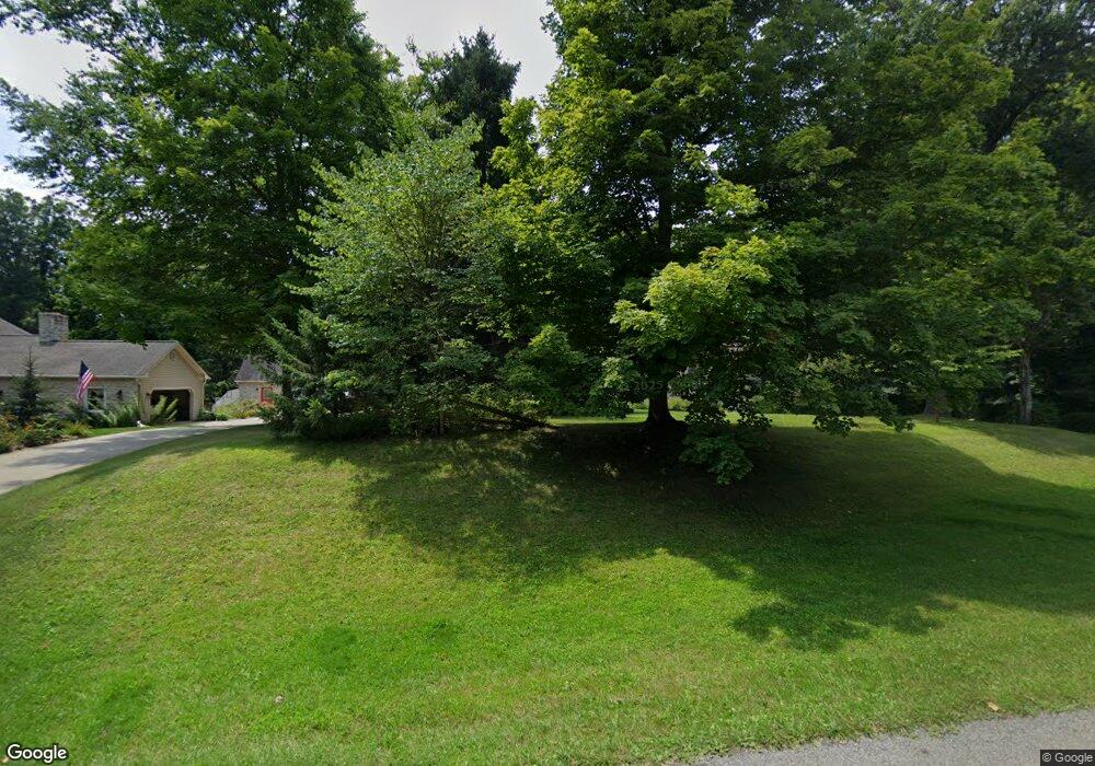
77 Derringer Ct Johnstown, OH 43031
Estimated Value: $473,667 - $558,000
4
Beds
3
Baths
1,786
Sq Ft
$293/Sq Ft
Est. Value
About This Home
This home is located at 77 Derringer Ct, Johnstown, OH 43031 and is currently estimated at $522,917, approximately $292 per square foot. 77 Derringer Ct is a home located in Licking County with nearby schools including Northridge Primary School, Northridge Middle School, and Northridge High School.
Ownership History
Date
Name
Owned For
Owner Type
Purchase Details
Closed on
Nov 27, 2024
Sold by
Bartlett James E and Bartlett Amy M
Bought by
James And Amy Bartlett Living Trust and Bartlett
Current Estimated Value
Purchase Details
Closed on
Jun 27, 2005
Sold by
Dyce Trevor W and Dyce Katrina M
Bought by
Bartlett James E and Bartlett Amy M
Home Financials for this Owner
Home Financials are based on the most recent Mortgage that was taken out on this home.
Original Mortgage
$169,900
Interest Rate
5.68%
Mortgage Type
Fannie Mae Freddie Mac
Purchase Details
Closed on
Oct 2, 2001
Sold by
Johnston Jeffrey S
Bought by
Dyce Trevor W and Dyce Katrina M
Home Financials for this Owner
Home Financials are based on the most recent Mortgage that was taken out on this home.
Original Mortgage
$136,000
Interest Rate
6.97%
Mortgage Type
New Conventional
Create a Home Valuation Report for This Property
The Home Valuation Report is an in-depth analysis detailing your home's value as well as a comparison with similar homes in the area
Home Values in the Area
Average Home Value in this Area
Purchase History
| Date | Buyer | Sale Price | Title Company |
|---|---|---|---|
| James And Amy Bartlett Living Trust | -- | None Listed On Document | |
| James And Amy Bartlett Living Trust | -- | None Listed On Document | |
| Bartlett James E | $199,900 | -- | |
| Dyce Trevor W | $156,000 | -- |
Source: Public Records
Mortgage History
| Date | Status | Borrower | Loan Amount |
|---|---|---|---|
| Previous Owner | Bartlett James E | $169,900 | |
| Previous Owner | Dyce Trevor W | $136,000 |
Source: Public Records
Tax History Compared to Growth
Tax History
| Year | Tax Paid | Tax Assessment Tax Assessment Total Assessment is a certain percentage of the fair market value that is determined by local assessors to be the total taxable value of land and additions on the property. | Land | Improvement |
|---|---|---|---|---|
| 2024 | $4,863 | $125,860 | $47,040 | $78,820 |
| 2023 | $5,226 | $125,860 | $47,040 | $78,820 |
| 2022 | $4,097 | $87,260 | $22,610 | $64,650 |
| 2021 | $4,237 | $87,260 | $22,610 | $64,650 |
| 2020 | $4,258 | $87,260 | $22,610 | $64,650 |
| 2019 | $3,538 | $68,570 | $18,830 | $49,740 |
| 2018 | $3,138 | $0 | $0 | $0 |
| 2017 | $3,315 | $0 | $0 | $0 |
| 2016 | $3,391 | $0 | $0 | $0 |
| 2015 | $3,374 | $0 | $0 | $0 |
| 2014 | $4,709 | $0 | $0 | $0 |
| 2013 | $3,403 | $0 | $0 | $0 |
Source: Public Records
Map
Nearby Homes
- 8610 Sadie Thomas Rd NW
- 4662 Hazelton Etna Rd
- 4190 Johnstown Alexandria Rd
- 5103 Johnstown Alexandria Rd
- 8259-8289 Duncan Plains Rd NW
- 3775 Johnstown Alexandria Rd
- 8270 Windy Hollow Rd
- 8174 Windy Hollow Rd
- 10019 Duncan Plains Rd NW
- 6003 Nichols Ln
- 8633 Concord Rd
- 9311 Jug St NW
- 8028 Concord Rd
- 313 Middleburn St
- 9791 Jug Street Rd NW
- 288 Village Dr Unit 45
- 676 Norfolk Ct Unit 35
- 309 Middleburn St
- 7548 Concord Rd
- 332 Bottecchia Blvd
- 43 Derringer Ct
- 98 Derringer Ct
- 8811 Sadie Thomas Rd
- 118 Derringer Ct
- 50 Derringer Ct
- 31 Derringer Ct
- 38 Derringer Ct
- 4425 Johnstown Alexandria Rd
- 4425 Johnstown Alexandria Rd
- 4491 Johnstown Alexandria Rd
- 11 Derringer Ct
- 4428 Johnstown Alexandria Rd
- 8797 Sadie Thomas Rd
- 18 Derringer Ct
- 4383 Johnstown Alexandria Rd
- 4300 Hazelton Etna Rd
- 4426 Hazelton Etna Rd
- 0 Delia Ct
- O Delia Ct
- 9 Delia Ct
