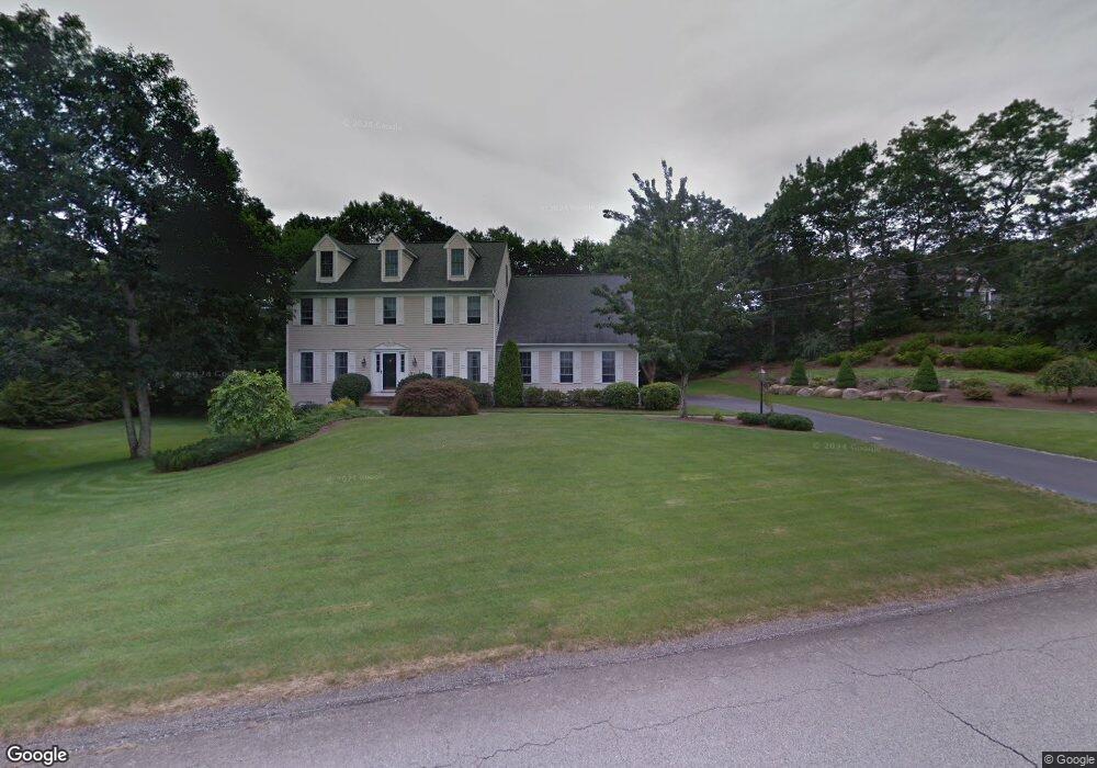
77 Douglas Dr Saunderstown, RI 02874
Saunderstown NeighborhoodEstimated Value: $878,714 - $1,359,000
3
Beds
3
Baths
2,400
Sq Ft
$438/Sq Ft
Est. Value
About This Home
This home is located at 77 Douglas Dr, Saunderstown, RI 02874 and is currently estimated at $1,050,179, approximately $437 per square foot. 77 Douglas Dr is a home located in Washington County with nearby schools including Stony Lane Elementary School, Wickford Middle School, and North Kingstown Sr. High School.
Ownership History
Date
Name
Owned For
Owner Type
Purchase Details
Closed on
Sep 28, 2017
Sold by
Coccio Michael S and Coccio Susan E
Bought by
F Michael
Current Estimated Value
Purchase Details
Closed on
May 15, 1998
Sold by
Heritage Homes
Bought by
Coccio Michael S and Coccio Susan E
Home Financials for this Owner
Home Financials are based on the most recent Mortgage that was taken out on this home.
Original Mortgage
$120,000
Interest Rate
7.08%
Create a Home Valuation Report for This Property
The Home Valuation Report is an in-depth analysis detailing your home's value as well as a comparison with similar homes in the area
Home Values in the Area
Average Home Value in this Area
Purchase History
| Date | Buyer | Sale Price | Title Company |
|---|---|---|---|
| F Michael | -- | -- | |
| Coccio Michael S | $270,000 | -- |
Source: Public Records
Mortgage History
| Date | Status | Borrower | Loan Amount |
|---|---|---|---|
| Previous Owner | Coccio Michael S | $94,000 | |
| Previous Owner | Coccio Michael S | $120,000 |
Source: Public Records
Tax History Compared to Growth
Tax History
| Year | Tax Paid | Tax Assessment Tax Assessment Total Assessment is a certain percentage of the fair market value that is determined by local assessors to be the total taxable value of land and additions on the property. | Land | Improvement |
|---|---|---|---|---|
| 2025 | $9,137 | $827,600 | $309,500 | $518,100 |
| 2024 | $9,354 | $652,300 | $267,700 | $384,600 |
| 2023 | $9,354 | $652,300 | $267,700 | $384,600 |
| 2022 | $9,171 | $652,300 | $267,700 | $384,600 |
| 2021 | $8,797 | $502,700 | $173,800 | $328,900 |
| 2020 | $8,591 | $502,700 | $173,800 | $328,900 |
| 2019 | $8,591 | $502,700 | $173,800 | $328,900 |
| 2018 | $8,205 | $432,500 | $143,300 | $289,200 |
| 2017 | $8,040 | $432,500 | $143,300 | $289,200 |
| 2016 | $7,811 | $432,500 | $143,300 | $289,200 |
| 2015 | $8,235 | $426,700 | $143,300 | $283,400 |
| 2014 | $8,069 | $426,700 | $143,300 | $283,400 |
Source: Public Records
Map
Nearby Homes
- 158 Explorer Dr
- 168 Explorer Dr
- 202 Explorer Dr
- 210 Explorer Dr
- 150 Delta Dr
- 449 Sylvan Ct
- 470 Sylvan Ct
- 331 Congdon Hill Rd
- 212 Orchard Woods Dr
- 48 Fieldstone Ln
- 215 Finch Ln
- 55 Whisper Ln
- 604 Stony Fort Rd
- 84 Cardinal Dr
- 38 Greenwood Rd
- 75 Hickory Dr
- 0 W Allenton Rd
- 400 Yawgoo Valley Rd
- 47 Shady Lea Rd
- 220 Shady Lea Rd
- 37 Midnight Ct
- 39 Curtis Rd Unit SYLVAN
- 23 Sylvan Ct
- 13 Sylvan Ct
- 26 Sylvan Ct
- 69 Sylvan Ct
- 57 Douglas Dr
- 39 Sylvan Ct
- 22 Sylvan Ct
- 80 Douglas Dr
- 47 Sylvan Ct
- 38 Sylvan Ct
- 38 Sylvan Ct Unit LOT38
- 62 Douglas Dr
- 28 Curtis Rd Unit SYLVAN
- 33 Sylvan Ct
- 27 Sylvan Ct
- 10 Sylvan Ct
- 46 Woodridge Dr
- 39 Douglas Dr