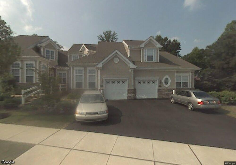
77 Dresner Cir Upper Chichester, PA 19061
Upper Chichester NeighborhoodEstimated Value: $426,000 - $471,000
2
Beds
3
Baths
1,544
Sq Ft
$292/Sq Ft
Est. Value
About This Home
This home is located at 77 Dresner Cir, Upper Chichester, PA 19061 and is currently estimated at $451,264, approximately $292 per square foot. 77 Dresner Cir is a home located in Delaware County with nearby schools including Chichester Senior High School and Concord Christian Academy.
Ownership History
Date
Name
Owned For
Owner Type
Purchase Details
Closed on
Jun 30, 2011
Sold by
Mace Jacqueline M
Bought by
Capozzoli Carlo A and Capozzoli Margaret C
Current Estimated Value
Home Financials for this Owner
Home Financials are based on the most recent Mortgage that was taken out on this home.
Original Mortgage
$120,000
Outstanding Balance
$82,906
Interest Rate
4.6%
Mortgage Type
New Conventional
Estimated Equity
$368,358
Purchase Details
Closed on
Jan 31, 2005
Sold by
Deluca Enterprises Inc
Bought by
Mace Ronald J and Mace Jacqueline M
Home Financials for this Owner
Home Financials are based on the most recent Mortgage that was taken out on this home.
Original Mortgage
$224,436
Interest Rate
5.83%
Mortgage Type
Fannie Mae Freddie Mac
Create a Home Valuation Report for This Property
The Home Valuation Report is an in-depth analysis detailing your home's value as well as a comparison with similar homes in the area
Home Values in the Area
Average Home Value in this Area
Purchase History
| Date | Buyer | Sale Price | Title Company |
|---|---|---|---|
| Capozzoli Carlo A | $240,000 | Commonwealth Land Title Insu | |
| Mace Ronald J | $280,546 | Commonwealth Title |
Source: Public Records
Mortgage History
| Date | Status | Borrower | Loan Amount |
|---|---|---|---|
| Open | Capozzoli Carlo A | $120,000 | |
| Previous Owner | Mace Ronald J | $224,436 |
Source: Public Records
Tax History
| Year | Tax Paid | Tax Assessment Tax Assessment Total Assessment is a certain percentage of the fair market value that is determined by local assessors to be the total taxable value of land and additions on the property. | Land | Improvement |
|---|---|---|---|---|
| 2025 | $9,048 | $272,330 | $68,850 | $203,480 |
| 2024 | $9,048 | $272,330 | $68,850 | $203,480 |
| 2023 | $8,758 | $272,330 | $68,850 | $203,480 |
| 2022 | $8,544 | $272,330 | $68,850 | $203,480 |
| 2021 | $12,742 | $272,330 | $68,850 | $203,480 |
| 2020 | $7,445 | $147,660 | $147,660 | $0 |
| 2019 | $7,445 | $147,660 | $147,660 | $0 |
| 2018 | $7,465 | $147,660 | $0 | $0 |
| 2017 | $7,407 | $147,660 | $0 | $0 |
| 2016 | $810 | $147,660 | $0 | $0 |
| 2015 | $827 | $147,660 | $0 | $0 |
| 2014 | $827 | $147,660 | $0 | $0 |
Source: Public Records
Map
Nearby Homes
- 4000 Village Way Unit 4102
- 4000 Village Way Unit 202
- 6000 Village Way Unit 6205
- 107 Luzak St
- 2603 Clayton St
- 4312 Yorktown Dr
- 3907 Bethel Rd
- 1687 O'Day Ln
- 468 Garnet Mine Rd
- 3245 Sarum Farm Ln
- 1718 Bethel Rd
- 1725 Magnolia Ct
- 3441 Hance Ln
- 2725 Boudwin Ave
- 1702 Magnolia Ct
- 3190 Ridgeview Ct Unit 16RD
- 3174 Ridgeview Ct Unit 14 RD
- 1652 Garnet Mine Rd
- 1834 Meetinghouse Rd Unit 1458
- 1342 Cherry St
Your Personal Tour Guide
Ask me questions while you tour the home.