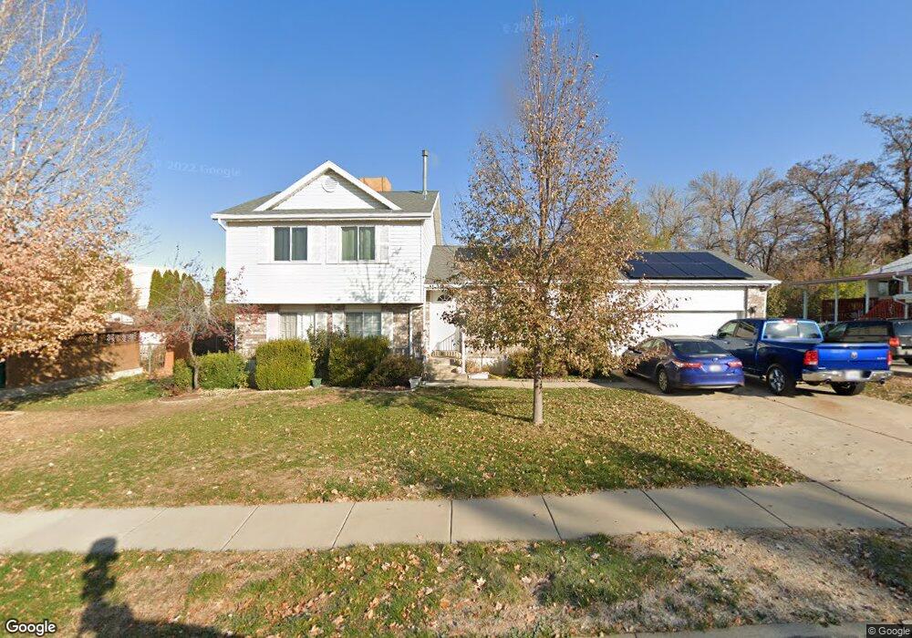
77 E 525 N Layton, UT 84041
Estimated Value: $438,000 - $480,000
--
Bed
2
Baths
1,120
Sq Ft
$409/Sq Ft
Est. Value
About This Home
This home is located at 77 E 525 N, Layton, UT 84041 and is currently estimated at $458,452, approximately $409 per square foot. 77 E 525 N is a home located in Davis County with nearby schools including Crestview Elementary School, Central Davis Junior High School, and Layton High School.
Ownership History
Date
Name
Owned For
Owner Type
Purchase Details
Closed on
May 3, 2019
Sold by
Amos William J and Amos Ruth A
Bought by
Jay William and Jay Ruth Ann
Current Estimated Value
Purchase Details
Closed on
Nov 13, 1998
Sold by
Perry Keith E and Perry Christie A
Bought by
Amos William J and Amos Ruth A
Create a Home Valuation Report for This Property
The Home Valuation Report is an in-depth analysis detailing your home's value as well as a comparison with similar homes in the area
Home Values in the Area
Average Home Value in this Area
Purchase History
| Date | Buyer | Sale Price | Title Company |
|---|---|---|---|
| Jay William | -- | None Available | |
| Amos William J | -- | Bonneville Title Company Inc |
Source: Public Records
Tax History
| Year | Tax Paid | Tax Assessment Tax Assessment Total Assessment is a certain percentage of the fair market value that is determined by local assessors to be the total taxable value of land and additions on the property. | Land | Improvement |
|---|---|---|---|---|
| 2025 | $1,270 | $237,600 | $101,220 | $136,380 |
| 2024 | $1,208 | $228,799 | $117,988 | $110,811 |
| 2023 | $1,205 | $219,450 | $77,392 | $142,057 |
| 2022 | $2,244 | $413,000 | $135,029 | $277,971 |
| 2021 | $2,113 | $319,000 | $103,826 | $215,174 |
| 2020 | $1,913 | $277,000 | $87,509 | $189,491 |
| 2019 | $1,882 | $267,000 | $83,247 | $183,753 |
| 2018 | $1,700 | $242,000 | $83,247 | $158,753 |
| 2016 | $1,578 | $115,885 | $26,501 | $89,384 |
| 2015 | $1,513 | $105,490 | $26,501 | $78,989 |
| 2014 | $1,512 | $107,838 | $26,501 | $81,337 |
| 2013 | -- | $101,144 | $24,816 | $76,328 |
Source: Public Records
Map
Nearby Homes
- 22 E 525 N
- 34 E 525 N
- 350 Church St
- 84 E Diamond St
- 975 N Garnet St
- 965 Amethyst St
- 24 Grover St
- 149 N Fort Ln Unit 1D
- 1085 N 125 E
- 126 E 1150 N
- 789 N Hill Villa Dr
- 618 Valeria Dr
- 361 W 50 N
- 339 W 25 N Unit 6
- 355 W Gentile St
- 1096 N 300 W
- 526 King St Unit 2
- 418 W Gentile St
- 270 N 630 W
- 109 Beacon Ave
Your Personal Tour Guide
Ask me questions while you tour the home.