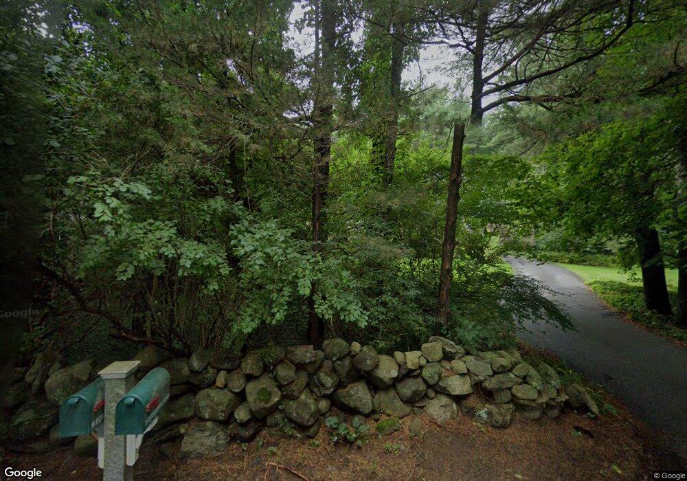
Estimated Value: $1,186,257 - $1,642,000
3
Beds
4
Baths
3,276
Sq Ft
$415/Sq Ft
Est. Value
About This Home
This home is located at 77 Esterbrook Rd, Acton, MA 01720 and is currently estimated at $1,358,064, approximately $414 per square foot. 77 Esterbrook Rd is a home located in Middlesex County with nearby schools including Acton-Boxborough Regional High School, Oak Meadow Montessori School, and Concord Academy.
Ownership History
Date
Name
Owned For
Owner Type
Purchase Details
Closed on
Apr 8, 2024
Sold by
Unger William J and Petersen-Unger Mary B
Bought by
Unger Int and Unger U
Current Estimated Value
Purchase Details
Closed on
Oct 27, 1989
Sold by
Williams Richard J
Bought by
Unger William J
Home Financials for this Owner
Home Financials are based on the most recent Mortgage that was taken out on this home.
Original Mortgage
$187,600
Interest Rate
9.94%
Mortgage Type
Purchase Money Mortgage
Create a Home Valuation Report for This Property
The Home Valuation Report is an in-depth analysis detailing your home's value as well as a comparison with similar homes in the area
Home Values in the Area
Average Home Value in this Area
Purchase History
| Date | Buyer | Sale Price | Title Company |
|---|---|---|---|
| Unger Int | -- | None Available | |
| Unger William J | $362,500 | -- | |
| Unger William J | $362,500 | -- |
Source: Public Records
Mortgage History
| Date | Status | Borrower | Loan Amount |
|---|---|---|---|
| Previous Owner | Unger William J | $100,000 | |
| Previous Owner | Unger William J | $166,000 | |
| Previous Owner | Unger William J | $187,600 |
Source: Public Records
Tax History Compared to Growth
Tax History
| Year | Tax Paid | Tax Assessment Tax Assessment Total Assessment is a certain percentage of the fair market value that is determined by local assessors to be the total taxable value of land and additions on the property. | Land | Improvement |
|---|---|---|---|---|
| 2025 | $18,503 | $1,078,900 | $420,400 | $658,500 |
| 2024 | $17,445 | $1,046,500 | $420,400 | $626,100 |
| 2023 | $17,715 | $1,008,800 | $382,700 | $626,100 |
| 2022 | $15,996 | $822,400 | $332,300 | $490,100 |
| 2021 | $15,480 | $765,200 | $307,500 | $457,700 |
| 2020 | $14,288 | $742,600 | $307,500 | $435,100 |
| 2019 | $14,202 | $733,200 | $307,500 | $425,700 |
| 2018 | $13,940 | $719,300 | $307,500 | $411,800 |
| 2017 | $13,710 | $719,300 | $307,500 | $411,800 |
| 2016 | $12,965 | $674,200 | $307,500 | $366,700 |
| 2015 | $12,773 | $670,500 | $307,500 | $363,000 |
| 2014 | $12,438 | $639,500 | $307,500 | $332,000 |
Source: Public Records
Map
Nearby Homes
- 134 Pope Rd
- 104 Channing Rd
- 1 Bayberry Rd
- 709 Main St
- 19 Whippoorwill Ln
- 524 Main St
- 491 Main St
- 33 Meadowbrook Rd
- 388 Great Rd Unit B14
- 386 Great Rd Unit A8
- 56 Isaac Davis Rd
- 390 Great Rd Unit B16
- 1 Quarry Rd
- 46 Taylor Rd
- 159 Skyline Dr Unit 159
- 49 Quarry Rd Unit 49
- 79-81 Assabet Ave
- 60 Lawsbrook Rd
- 65 Summit St
- 70 Hillside Ave
- 73 Esterbrook Rd
- 80 Esterbrook Rd
- 69 Esterbrook Rd
- 74 Esterbrook Rd
- 81 Strawberry Hill Rd
- 84 Esterbrook Rd
- 85 Esterbrook Rd
- 85 Esterbrook Rd Unit 85
- 7 Proctor St
- 88 Esterbrook Rd
- 70 Esterbrook Rd
- 73 Strawberry Hill Rd
- 77 Strawberry Hill Rd
- 79 Strawberry Hill Rd
- 65 Esterbrook Rd
- 75 Strawberry Hill Rd
- 68 Esterbrook Rd
- 2 Ladyslipper Ln
- 5 Proctor St
- 60 Strawberry Hill Rd
