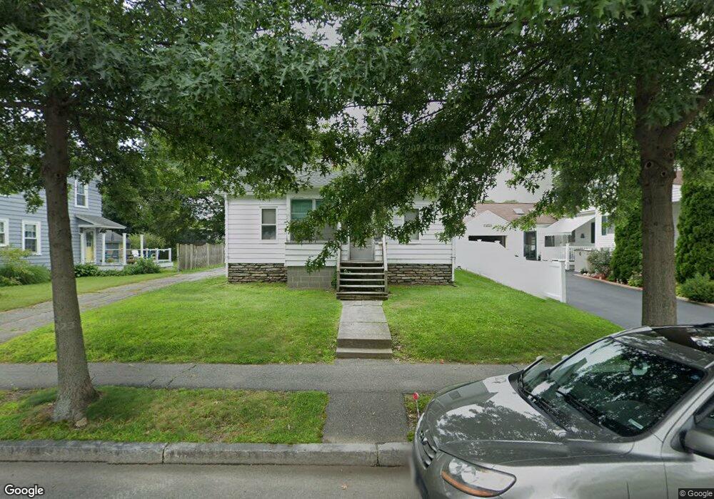
77 Eunice Ave Worcester, MA 01606
Burncoat NeighborhoodEstimated Value: $394,000 - $412,208
3
Beds
2
Baths
1,358
Sq Ft
$296/Sq Ft
Est. Value
About This Home
This home is located at 77 Eunice Ave, Worcester, MA 01606 and is currently estimated at $402,552, approximately $296 per square foot. 77 Eunice Ave is a home located in Worcester County with nearby schools including Jacob Hiatt Magnet School, Chandler Magnet, and Thorndyke Road School.
Create a Home Valuation Report for This Property
The Home Valuation Report is an in-depth analysis detailing your home's value as well as a comparison with similar homes in the area
Home Values in the Area
Average Home Value in this Area
Tax History
| Year | Tax Paid | Tax Assessment Tax Assessment Total Assessment is a certain percentage of the fair market value that is determined by local assessors to be the total taxable value of land and additions on the property. | Land | Improvement |
|---|---|---|---|---|
| 2025 | $4,512 | $342,100 | $117,700 | $224,400 |
| 2024 | $4,432 | $322,300 | $117,700 | $204,600 |
| 2023 | $4,253 | $296,600 | $102,400 | $194,200 |
| 2022 | $3,880 | $255,100 | $81,900 | $173,200 |
| 2021 | $3,731 | $229,200 | $65,500 | $163,700 |
| 2020 | $3,665 | $215,600 | $65,500 | $150,100 |
| 2019 | $3,469 | $192,700 | $58,900 | $133,800 |
| 2018 | $3,464 | $183,200 | $58,900 | $124,300 |
| 2017 | $3,360 | $174,800 | $58,900 | $115,900 |
| 2016 | $3,306 | $160,400 | $42,900 | $117,500 |
| 2015 | $3,219 | $160,400 | $42,900 | $117,500 |
| 2014 | $3,134 | $160,400 | $42,900 | $117,500 |
Source: Public Records
Map
Nearby Homes
- 66 Eunice Ave
- 331 Burncoat St
- 323 Burncoat St
- 55 Clark St
- 169 Whitmarsh Ave
- 58 Osceola Ave
- 13 Fatima Ln
- 30 Danielles Way
- 39 Whitmarsh Ave
- 3205 Halcyon Dr Unit 3205
- 53 Collins St
- 15 Ericsson St
- 12 Erie Ave
- 45 Goldthwaite Rd
- 22 Huron Ave
- 41 Mohave Rd
- 37 Mohave Rd
- 44 Boardman St
- 69 Santoro Rd
- 39 Mountainshire Dr
Your Personal Tour Guide
Ask me questions while you tour the home.