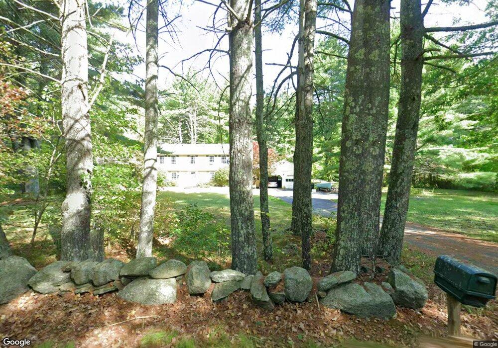
77 Finn Rd Harvard, MA 01451
Estimated Value: $886,000 - $1,277,000
4
Beds
3
Baths
2,458
Sq Ft
$415/Sq Ft
Est. Value
About This Home
This home is located at 77 Finn Rd, Harvard, MA 01451 and is currently estimated at $1,020,319, approximately $415 per square foot. 77 Finn Rd is a home located in Worcester County.
Ownership History
Date
Name
Owned For
Owner Type
Purchase Details
Closed on
Apr 2, 2010
Sold by
Vinci Robert A and Vinci Nicola A
Bought by
Vinci Robert A
Current Estimated Value
Purchase Details
Closed on
Apr 29, 1999
Sold by
Hirsch Alan T and Hirsch Catherine E
Bought by
Vinci Robert A and Vinci Nicla A
Home Financials for this Owner
Home Financials are based on the most recent Mortgage that was taken out on this home.
Original Mortgage
$240,000
Interest Rate
6.95%
Mortgage Type
Purchase Money Mortgage
Create a Home Valuation Report for This Property
The Home Valuation Report is an in-depth analysis detailing your home's value as well as a comparison with similar homes in the area
Home Values in the Area
Average Home Value in this Area
Purchase History
| Date | Buyer | Sale Price | Title Company |
|---|---|---|---|
| Vinci Robert A | -- | -- | |
| Vinci Robert A | $379,900 | -- |
Source: Public Records
Mortgage History
| Date | Status | Borrower | Loan Amount |
|---|---|---|---|
| Previous Owner | Vinci Robert A | $300,000 | |
| Previous Owner | Vinci Robert A | $240,000 | |
| Previous Owner | Vinci Robert A | $100,000 |
Source: Public Records
Tax History Compared to Growth
Tax History
| Year | Tax Paid | Tax Assessment Tax Assessment Total Assessment is a certain percentage of the fair market value that is determined by local assessors to be the total taxable value of land and additions on the property. | Land | Improvement |
|---|---|---|---|---|
| 2025 | $12,002 | $766,900 | $269,000 | $497,900 |
| 2024 | $11,427 | $766,900 | $269,000 | $497,900 |
| 2023 | $11,463 | $690,100 | $249,100 | $441,000 |
| 2022 | $10,526 | $587,700 | $235,000 | $352,700 |
| 2021 | $4,755 | $547,000 | $235,000 | $312,000 |
| 2020 | $79,510 | $526,600 | $235,000 | $291,600 |
| 2019 | $9,278 | $532,600 | $235,000 | $297,600 |
| 2018 | $8,803 | $513,300 | $235,000 | $278,300 |
| 2017 | $8,489 | $469,000 | $195,000 | $274,000 |
| 2016 | $8,529 | $472,500 | $195,000 | $277,500 |
| 2015 | $8,288 | $465,900 | $191,000 | $274,900 |
| 2014 | $7,962 | $465,900 | $191,000 | $274,900 |
Source: Public Records
Map
Nearby Homes
- 13 Pine Hill Way
- 14 Pine Hill Way
- 16 A Pine Hill Way Unit 16AA
- 18 B Pine Hill Way Unit BB
- 184 Old Bolton Rd
- 76 Bolton Woods Way
- 310 Codman Hill Rd Unit 35D
- 90 Corn Rd
- 1155 Burroughs Rd
- 9 Cortland Dr Unit 9
- 19 Partridge Hill Rd
- 207 Boxboro Rd
- 51 Heather Ln Unit 51
- 28 Mcintosh Dr Unit 22
- 68 Hudson Rd
- 98 Meadow Rd
- 30-6 Taylor Rd
- 94 Hudson Rd
- 53 Swanson Ct Unit 36C
- 176 Swanson Rd Unit 309