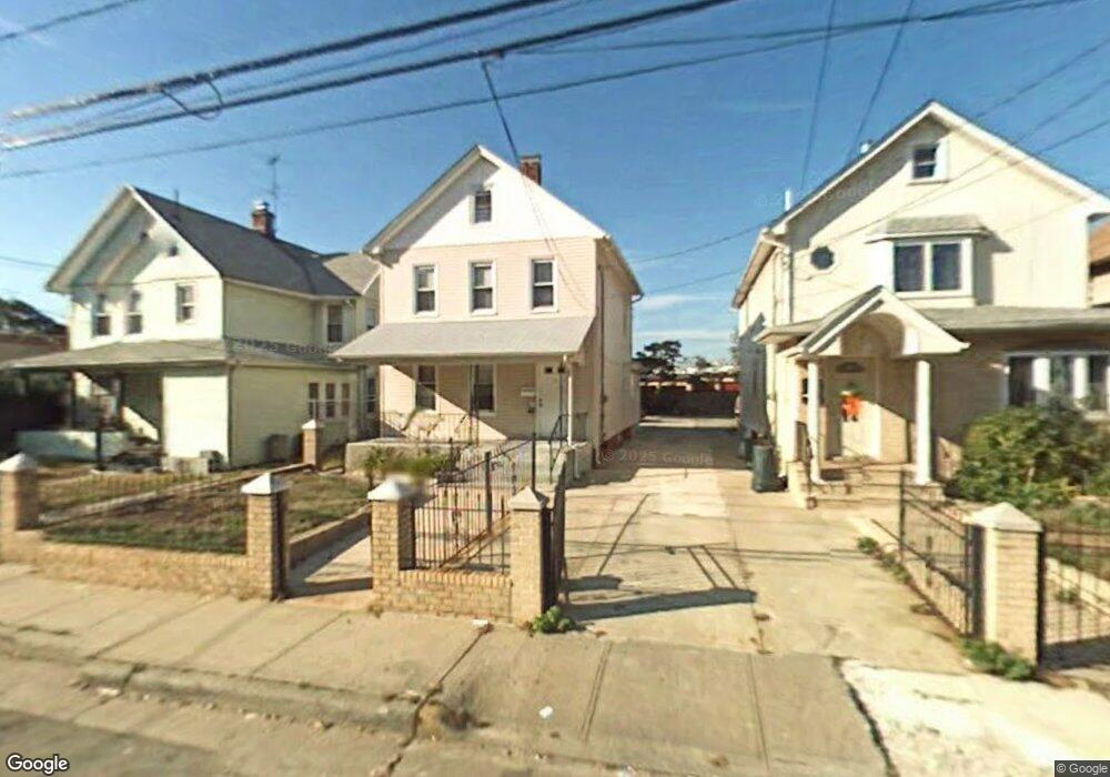
77 Grove St Hempstead, NY 11550
Estimated Value: $469,000 - $574,140
5
Beds
3
Baths
1,383
Sq Ft
$377/Sq Ft
Est. Value
About This Home
This home is located at 77 Grove St, Hempstead, NY 11550 and is currently estimated at $521,570, approximately $377 per square foot. 77 Grove St is a home located in Nassau County with nearby schools including Evergreen Charter School, The Academy Charter School, and Crescent School.
Ownership History
Date
Name
Owned For
Owner Type
Purchase Details
Closed on
Apr 8, 2021
Sold by
Siddiqui Talha and Siddiqui Nuzhat Haroon
Bought by
77 Grove St Property Inc
Current Estimated Value
Purchase Details
Closed on
Jan 26, 2021
Sold by
77 Grove Street Llc
Bought by
Siddiqui Talha and Siddiqui Nuzhat Haroon
Purchase Details
Closed on
Mar 19, 2013
Sold by
Polynor Mardy and Mardy Marie
Bought by
77 Grove Street Llc
Purchase Details
Closed on
Feb 13, 2001
Purchase Details
Closed on
Dec 21, 1998
Purchase Details
Closed on
Dec 29, 1995
Sold by
First Home Brokerage Corp
Bought by
Ward Abraham and Blaylock Fitzgerald
Home Financials for this Owner
Home Financials are based on the most recent Mortgage that was taken out on this home.
Original Mortgage
$95,706
Interest Rate
7.25%
Purchase Details
Closed on
Oct 18, 1995
Sold by
Evans Mary
Bought by
First Home Brokerage Corp and Daroma Capital Corp
Create a Home Valuation Report for This Property
The Home Valuation Report is an in-depth analysis detailing your home's value as well as a comparison with similar homes in the area
Home Values in the Area
Average Home Value in this Area
Purchase History
| Date | Buyer | Sale Price | Title Company |
|---|---|---|---|
| 77 Grove St Property Inc | -- | None Available | |
| Siddiqui Talha | $259,200 | First American Title | |
| 77 Grove Street Llc | -- | -- | |
| -- | $126,500 | -- | |
| -- | -- | -- | |
| Ward Abraham | $98,000 | -- | |
| First Home Brokerage Corp | $60,000 | -- |
Source: Public Records
Mortgage History
| Date | Status | Borrower | Loan Amount |
|---|---|---|---|
| Previous Owner | Ward Abraham | $95,706 |
Source: Public Records
Tax History
| Year | Tax Paid | Tax Assessment Tax Assessment Total Assessment is a certain percentage of the fair market value that is determined by local assessors to be the total taxable value of land and additions on the property. | Land | Improvement |
|---|---|---|---|---|
| 2025 | $8,096 | $319 | $102 | $217 |
| 2024 | $806 | $319 | $102 | $217 |
Source: Public Records
Map
Nearby Homes
- 73 Grove St
- 81 Grove St
- 85 Grove St
- 72 Grove St
- 70 Grove St
- 89 Grove St
- 93 Grove St
- 84 Grove St
- 66 Grove St
- 88 Grove St Unit 90
- 88 Grove St Unit 90
- 88 Grove St Unit 90
- 88 Grove St Unit 90
- 88 Grove St Unit 90
- 88 Grove St Unit 90
- 88 Grove St Unit 90
- 88 Grove St Unit 90
- 88 Grove St Unit 90
- 60 Grove St
- 97 Grove St
Your Personal Tour Guide
Ask me questions while you tour the home.