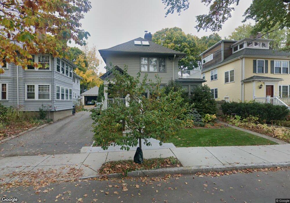
77 Grozier Rd Unit 1 Cambridge, MA 02138
West Cambridge NeighborhoodEstimated Value: $1,246,000 - $1,498,000
1
Bed
1
Bath
1,000
Sq Ft
$1,355/Sq Ft
Est. Value
About This Home
This home is located at 77 Grozier Rd Unit 1, Cambridge, MA 02138 and is currently estimated at $1,355,421, approximately $1,355 per square foot. 77 Grozier Rd Unit 1 is a home located in Middlesex County.
Ownership History
Date
Name
Owned For
Owner Type
Purchase Details
Closed on
Nov 18, 2019
Sold by
Dunn Peter and Hiestand Emily
Bought by
77 Grozier Road Rt
Current Estimated Value
Purchase Details
Closed on
Sep 30, 2009
Sold by
Chadbourne-Simpson Wendy
Bought by
Dunn Peter and Hiestand Emily
Create a Home Valuation Report for This Property
The Home Valuation Report is an in-depth analysis detailing your home's value as well as a comparison with similar homes in the area
Home Values in the Area
Average Home Value in this Area
Purchase History
| Date | Buyer | Sale Price | Title Company |
|---|---|---|---|
| 77 Grozier Road Rt | -- | -- | |
| Dunn Peter | $594,000 | -- |
Source: Public Records
Tax History Compared to Growth
Tax History
| Year | Tax Paid | Tax Assessment Tax Assessment Total Assessment is a certain percentage of the fair market value that is determined by local assessors to be the total taxable value of land and additions on the property. | Land | Improvement |
|---|---|---|---|---|
| 2025 | $7,045 | $1,109,400 | $0 | $1,109,400 |
| 2024 | $6,494 | $1,096,900 | $0 | $1,096,900 |
| 2023 | $6,100 | $1,041,000 | $0 | $1,041,000 |
| 2022 | $6,076 | $1,026,300 | $0 | $1,026,300 |
| 2021 | $5,947 | $1,016,500 | $0 | $1,016,500 |
| 2020 | $5,673 | $986,600 | $0 | $986,600 |
| 2019 | $5,485 | $923,400 | $0 | $923,400 |
| 2018 | $3,323 | $854,800 | $0 | $854,800 |
| 2017 | $5,180 | $798,100 | $0 | $798,100 |
| 2016 | $5,049 | $722,300 | $0 | $722,300 |
| 2015 | $5,000 | $639,400 | $0 | $639,400 |
| 2014 | $4,922 | $587,400 | $0 | $587,400 |
Source: Public Records
Map
Nearby Homes
- 465 Huron Ave Unit 1
- 107 Grozier Rd Unit 1
- 134 Lexington Ave Unit 2
- 182 Larch Rd
- 382 Huron Ave
- 43 Larch Rd
- 243 Lexington Ave
- 31 Chilton St Unit 1
- 92 Fayerweather St Unit 2
- 1 Aberdeen Way Unit 113
- 71-73 Reservoir St
- 47 Homer Ave Unit 5-3
- 35 Homer Ave Unit 7
- 172 Brattle St
- 422-424 Walden St
- 87 Holworthy St Unit 2
- 87 Holworthy St Unit 3
- 234 Huron Ave
- 158 Brattle St
- 95 Cushing St
- 77 Grozier Rd Unit 2,1
- 73 Grozier Rd
- 81 Grozier Rd
- 69 Grozier Rd
- 85 Grozier Rd
- 85 Grozier Rd Unit 3
- 172 Lexington Ave
- 172 Lexington Ave Unit 1
- 170 Lexington Ave
- 170 Lexington Ave Unit 1
- 174 Lexington Ave Unit 3
- 174 Lexington Ave Unit 2
- 174 Lexington Ave Unit 1
- 174 Lexington Ave Unit 174
- 65 Grozier Rd
- 456 Huron Ave Unit 2
- 456 Huron Ave Unit 1
- 456 Huron Ave
- 460 Huron Ave Unit 462
- 182 Lexington Ave