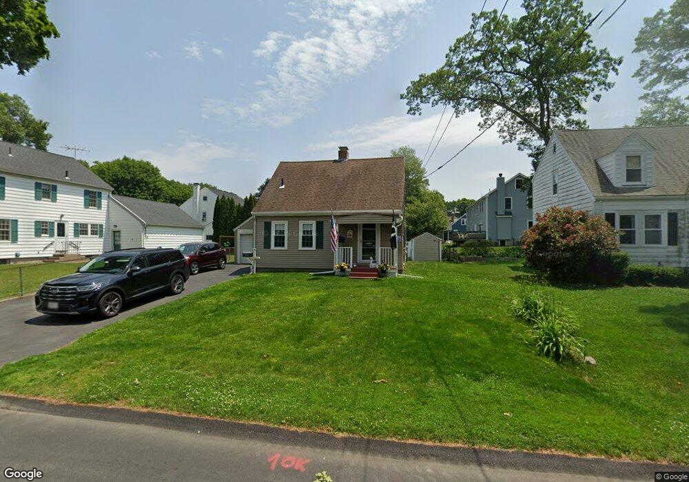
77 Hawthorne St Norwood, MA 02062
North Norwood NeighborhoodEstimated Value: $735,230 - $779,000
3
Beds
2
Baths
1,451
Sq Ft
$519/Sq Ft
Est. Value
About This Home
This home is located at 77 Hawthorne St, Norwood, MA 02062 and is currently estimated at $753,308, approximately $519 per square foot. 77 Hawthorne St is a home located in Norfolk County with nearby schools including Norwood High School, St Catherine Of Siena School, and Norwood Montessori School.
Ownership History
Date
Name
Owned For
Owner Type
Purchase Details
Closed on
Jul 16, 2024
Sold by
Green John D and Green Mary C
Bought by
Green Rt and Green
Current Estimated Value
Purchase Details
Closed on
May 17, 1990
Sold by
Norman Paul R
Bought by
Green Mary C
Home Financials for this Owner
Home Financials are based on the most recent Mortgage that was taken out on this home.
Original Mortgage
$142,500
Interest Rate
10.14%
Mortgage Type
Purchase Money Mortgage
Create a Home Valuation Report for This Property
The Home Valuation Report is an in-depth analysis detailing your home's value as well as a comparison with similar homes in the area
Home Values in the Area
Average Home Value in this Area
Purchase History
| Date | Buyer | Sale Price | Title Company |
|---|---|---|---|
| Green Rt | -- | None Available | |
| Green Rt | -- | None Available | |
| Green Mary C | $178,125 | -- | |
| Green Mary C | $178,125 | -- |
Source: Public Records
Mortgage History
| Date | Status | Borrower | Loan Amount |
|---|---|---|---|
| Previous Owner | Green Mary C | $25,000 | |
| Previous Owner | Green Mary C | $140,000 | |
| Previous Owner | Green Mary C | $142,500 |
Source: Public Records
Tax History Compared to Growth
Tax History
| Year | Tax Paid | Tax Assessment Tax Assessment Total Assessment is a certain percentage of the fair market value that is determined by local assessors to be the total taxable value of land and additions on the property. | Land | Improvement |
|---|---|---|---|---|
| 2025 | $61 | $580,300 | $302,200 | $278,100 |
| 2024 | $6,085 | $581,200 | $302,200 | $279,000 |
| 2023 | $5,412 | $524,400 | $253,700 | $270,700 |
| 2022 | $5,326 | $495,400 | $230,600 | $264,800 |
| 2021 | $4,901 | $432,200 | $222,200 | $210,000 |
| 2020 | $4,723 | $423,600 | $218,200 | $205,400 |
| 2019 | $4,291 | $394,000 | $209,700 | $184,300 |
| 2018 | $4,192 | $378,000 | $208,800 | $169,200 |
| 2017 | $4,034 | $361,800 | $208,800 | $153,000 |
| 2016 | $3,903 | $351,000 | $208,800 | $142,200 |
| 2015 | $3,779 | $329,500 | $198,100 | $131,400 |
| 2014 | $3,620 | $312,600 | $185,500 | $127,100 |
Source: Public Records
Map
Nearby Homes
- 60 Florence Ave Unit A
- 135 Cottage St Unit 2
- 227 Prospect St
- 470 Nahatan St
- 85 Casey St
- 42 Myrtle St
- 253 Nahatan St Unit 11
- 11 Beacon Park Rd
- 232-234 Nahatan St
- 66 Crestwood Cir
- 618 Nahatan St
- 21 Walpole St
- 10 Victoria Cir
- 144 Devon Rd
- 785 Washington St Unit 206
- 785 Washington St Unit 207
- 365 Washington St Unit 4
- 17 Royal Ct
- 152 Albemarle Rd
- 1 Lenox St Unit 312