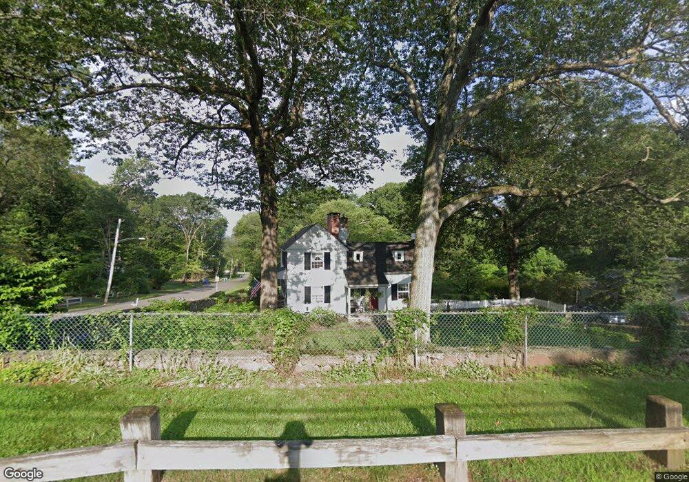
77 High Rock Rd Hamden, CT 06514
Estimated Value: $462,000 - $526,000
3
Beds
3
Baths
2,413
Sq Ft
$201/Sq Ft
Est. Value
About This Home
This home is located at 77 High Rock Rd, Hamden, CT 06514 and is currently estimated at $484,510, approximately $200 per square foot. 77 High Rock Rd is a home located in New Haven County with nearby schools including Hamden Middle School, Hamden High School, and Laurel Oaks Adventist School.
Ownership History
Date
Name
Owned For
Owner Type
Purchase Details
Closed on
Dec 22, 1997
Sold by
Ann M Dority Lt
Bought by
Coates Michael D and Velush Mary A
Current Estimated Value
Home Financials for this Owner
Home Financials are based on the most recent Mortgage that was taken out on this home.
Original Mortgage
$141,750
Interest Rate
7.14%
Mortgage Type
Unknown
Create a Home Valuation Report for This Property
The Home Valuation Report is an in-depth analysis detailing your home's value as well as a comparison with similar homes in the area
Home Values in the Area
Average Home Value in this Area
Purchase History
| Date | Buyer | Sale Price | Title Company |
|---|---|---|---|
| Coates Michael D | $157,500 | -- |
Source: Public Records
Mortgage History
| Date | Status | Borrower | Loan Amount |
|---|---|---|---|
| Closed | Coates Michael D | $135,000 | |
| Closed | Coates Michael D | $141,750 |
Source: Public Records
Tax History
| Year | Tax Paid | Tax Assessment Tax Assessment Total Assessment is a certain percentage of the fair market value that is determined by local assessors to be the total taxable value of land and additions on the property. | Land | Improvement |
|---|---|---|---|---|
| 2025 | $14,370 | $276,990 | $64,330 | $212,660 |
| 2024 | $9,973 | $179,340 | $45,080 | $134,260 |
| 2023 | $10,111 | $179,340 | $45,080 | $134,260 |
| 2022 | $9,950 | $179,340 | $45,080 | $134,260 |
| 2021 | $9,405 | $179,340 | $45,080 | $134,260 |
| 2020 | $9,766 | $187,880 | $78,540 | $109,340 |
| 2019 | $9,180 | $187,880 | $78,540 | $109,340 |
| 2018 | $9,011 | $187,880 | $78,540 | $109,340 |
| 2017 | $8,503 | $187,880 | $78,540 | $109,340 |
| 2016 | $8,522 | $187,880 | $78,540 | $109,340 |
| 2015 | $8,002 | $195,790 | $87,220 | $108,570 |
| 2014 | $7,818 | $195,790 | $87,220 | $108,570 |
Source: Public Records
Map
Nearby Homes
- 1380 Paradise Ave
- 541 Hill St
- 1020 Shepard Ave
- 116 Bender Rd
- 660 Sherman Ave
- 36 Norman Rd
- 225 Hill St
- 52 Quarry Ln
- 4 Raccio Park Rd
- 5 Shepard Hill Rd
- 33 Sky View Cir
- 51 Greenes Ridge Rd
- 151 Fans Rock Rd
- 46 Forest Ct N
- 26 Kelly Rd
- 175 Mill Pond Rd Unit 106
- 399 W Woods Rd
- 80 Flower Dr
- 18 Anns Farm Rd
- 292 Deerfield Dr
- 61 High Rock Rd
- 205 Laura Rd
- 85 High Rock Rd
- 150 Laura Rd
- 175 Laura Rd
- 45 High Rock Rd
- 153 Laura Rd
- 321 W Shepard Ave
- 115 High Rock Rd
- 130 Laura Rd
- 161 Laura Rd
- 90 High Rock Rd
- 27 High Rock Rd
- 70 High Rock Rd
- 50 High Rock Rd
- 331 W Shepard Ave
- 355 W Shepard Ave
- 1370 Paradise Ave
- 325 W Shepard Ave
- 139 Laura Rd
Your Personal Tour Guide
Ask me questions while you tour the home.