77 Homewood Cir Yarmouth, ME 04096
Estimated Value: $402,000 - $777,000
1
Bed
2
Baths
524
Sq Ft
$1,026/Sq Ft
Est. Value
About This Home
This home is located at 77 Homewood Cir, Yarmouth, ME 04096 and is currently estimated at $537,415, approximately $1,025 per square foot. 77 Homewood Cir is a home located in Cumberland County with nearby schools including William H. Rowe School, Yarmouth Elementary School, and Frank H. Harrison Middle School.
Ownership History
Date
Name
Owned For
Owner Type
Purchase Details
Closed on
Feb 16, 2024
Sold by
Wipple Phoebe M
Bought by
Pfeiffer Rebecca J and Pfeiffer Gaylon D
Current Estimated Value
Purchase Details
Closed on
Oct 17, 2018
Sold by
Russell Margaret and Morrissey Thomas
Bought by
Whipple Phoebe M
Purchase Details
Closed on
May 1, 2014
Sold by
Tobin Harriet
Bought by
Morrissey Thomas and Russell Margaret
Create a Home Valuation Report for This Property
The Home Valuation Report is an in-depth analysis detailing your home's value as well as a comparison with similar homes in the area
Home Values in the Area
Average Home Value in this Area
Purchase History
| Date | Buyer | Sale Price | Title Company |
|---|---|---|---|
| Pfeiffer Rebecca J | $350,000 | None Available | |
| Whipple Phoebe M | -- | -- | |
| Morrissey Thomas | -- | -- |
Source: Public Records
Tax History Compared to Growth
Tax History
| Year | Tax Paid | Tax Assessment Tax Assessment Total Assessment is a certain percentage of the fair market value that is determined by local assessors to be the total taxable value of land and additions on the property. | Land | Improvement |
|---|---|---|---|---|
| 2024 | $10,052 | $391,600 | $350,000 | $41,600 |
| 2023 | $9,218 | $391,600 | $350,000 | $41,600 |
| 2022 | $663 | $391,600 | $350,000 | $41,600 |
| 2021 | $645 | $391,600 | $350,000 | $41,600 |
| 2020 | $7,675 | $391,600 | $350,000 | $41,600 |
| 2019 | $7,386 | $391,600 | $350,000 | $41,600 |
| 2018 | $6,970 | $391,600 | $350,000 | $41,600 |
| 2017 | $6,720 | $391,600 | $350,000 | $41,600 |
| 2016 | $6,681 | $391,600 | $350,000 | $41,600 |
| 2015 | $4,318 | $200,300 | $147,000 | $53,300 |
| 2014 | $4,326 | $200,300 | $147,000 | $53,300 |
| 2013 | $4,407 | $200,300 | $0 | $0 |
Source: Public Records
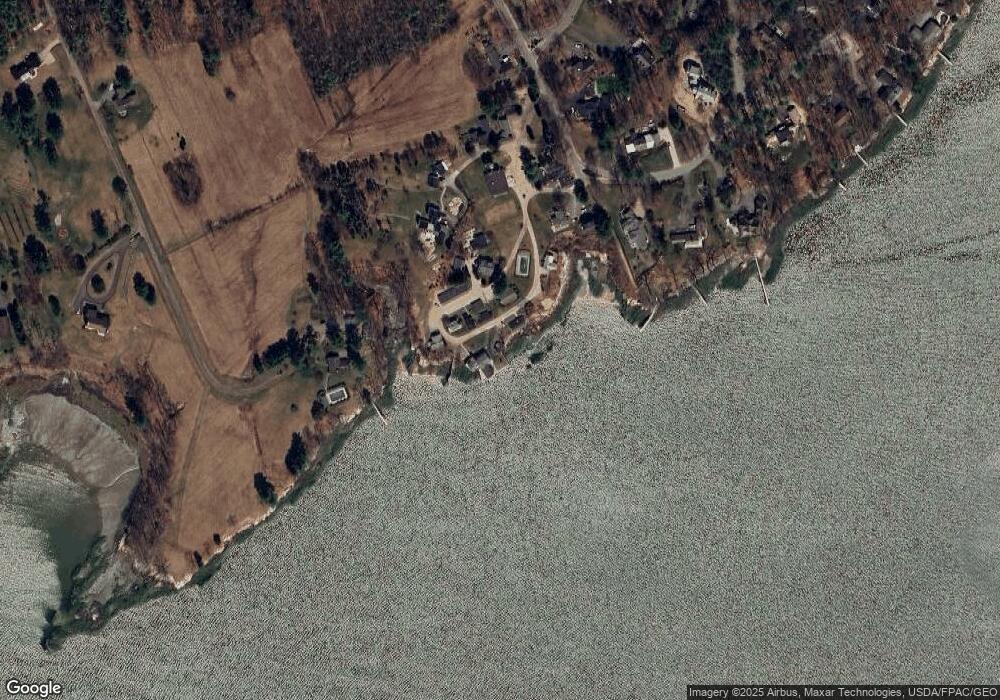
Map
Nearby Homes
- 24 Daybreak Ln
- 51 Meeting House Farms Rd
- 51 Oakland Ave
- 6 Ebb Tide Dr
- 87 Wharf Rd
- 21 Ledge Rd
- 184 Spruce Point Rd
- 92 Spruce Point Rd
- 86 Pleasant St
- 30 Blueberry Cove
- 52 Blueberry Cove Rd Unit 52
- 62 Blueberry Cove Rd Unit 62
- 51 Pleasant St
- 1 Ledge Rd
- 16 Town Landing Rd
- 69 Rand Rd
- 70 Main St
- 186 Foreside Rd
- 149 E Main St Unit 7
- 0 Bayview St
- 77 Homewood Cir
- 73 Homewood Cir
- 83 Homewood Cir
- 71 Homewood Cir
- 78 Homewood Cir
- 74 Homewood Cir
- 46 Homewood Cir
- 62 Homewood Cir
- 65 Homewood Cir
- 43 Homewood Cir
- 95 Homewood Cir
- 7 Kingfisher Cove
- 25 Webster Ln
- 84 Bucknam Point Rd
- 128 Seaborne Dr
- 215 Drinkwater Point Rd
- 3 Webster Ln
- 118 Seaborne Dr
- 119 Seaborne Dr
- 216 Drinkwater Point Rd