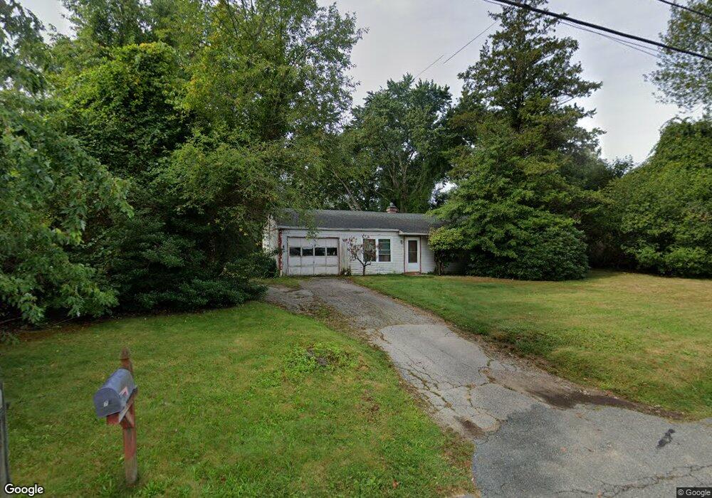
77 Hoover Rd Hanover, MA 02339
Estimated Value: $520,000 - $631,000
3
Beds
1
Bath
925
Sq Ft
$597/Sq Ft
Est. Value
About This Home
This home is located at 77 Hoover Rd, Hanover, MA 02339 and is currently estimated at $552,503, approximately $597 per square foot. 77 Hoover Rd is a home located in Plymouth County with nearby schools including Hanover High School and Calvary Chapel Academy.
Ownership History
Date
Name
Owned For
Owner Type
Purchase Details
Closed on
Jul 12, 1999
Sold by
Smith Barbara F
Bought by
Baldassini Margaret and Gilcoine Dwayne
Current Estimated Value
Home Financials for this Owner
Home Financials are based on the most recent Mortgage that was taken out on this home.
Original Mortgage
$120,418
Interest Rate
7.19%
Mortgage Type
Purchase Money Mortgage
Create a Home Valuation Report for This Property
The Home Valuation Report is an in-depth analysis detailing your home's value as well as a comparison with similar homes in the area
Home Values in the Area
Average Home Value in this Area
Purchase History
| Date | Buyer | Sale Price | Title Company |
|---|---|---|---|
| Baldassini Margaret | $131,000 | -- |
Source: Public Records
Mortgage History
| Date | Status | Borrower | Loan Amount |
|---|---|---|---|
| Open | Baldassini Margaret | $170,000 | |
| Closed | Baldassini Margaret | $152,000 | |
| Closed | Baldassini Margaret | $120,418 | |
| Previous Owner | Baldassini Margaret | $13,750 |
Source: Public Records
Tax History Compared to Growth
Tax History
| Year | Tax Paid | Tax Assessment Tax Assessment Total Assessment is a certain percentage of the fair market value that is determined by local assessors to be the total taxable value of land and additions on the property. | Land | Improvement |
|---|---|---|---|---|
| 2025 | $5,129 | $415,300 | $212,100 | $203,200 |
| 2024 | $4,412 | $343,600 | $216,900 | $126,700 |
| 2023 | $4,635 | $343,600 | $216,900 | $126,700 |
| 2022 | $5,240 | $343,600 | $216,900 | $126,700 |
| 2021 | $0 | $314,300 | $186,300 | $128,000 |
| 2020 | $4,888 | $299,700 | $175,300 | $124,400 |
| 2019 | $4,324 | $263,500 | $153,400 | $110,100 |
| 2018 | $4,497 | $276,200 | $170,900 | $105,300 |
| 2016 | $4,340 | $257,400 | $161,000 | $96,400 |
| 2015 | $3,968 | $245,700 | $161,000 | $84,700 |
Source: Public Records
Map
Nearby Homes