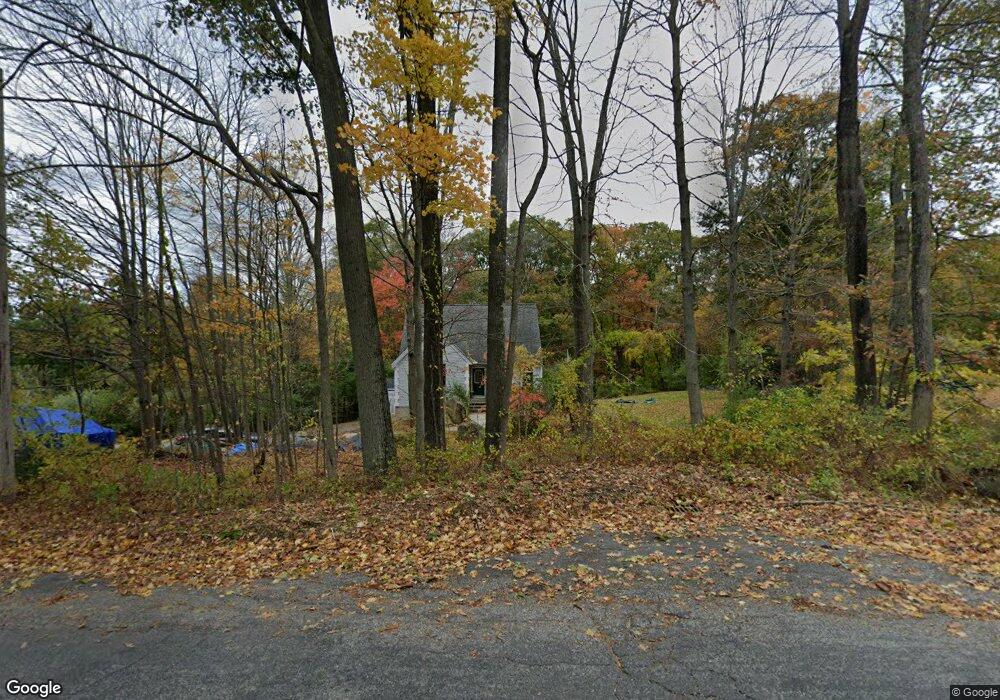
77 Huguenot Rd Oxford, MA 01540
Estimated Value: $483,124 - $612,000
3
Beds
2
Baths
1,836
Sq Ft
$297/Sq Ft
Est. Value
About This Home
This home is located at 77 Huguenot Rd, Oxford, MA 01540 and is currently estimated at $545,281, approximately $296 per square foot. 77 Huguenot Rd is a home located in Worcester County with nearby schools including Alfred M Chaffee, Oxford High School, and Clara Barton Elementary School.
Ownership History
Date
Name
Owned For
Owner Type
Purchase Details
Closed on
Mar 16, 1995
Sold by
Provencher Richard V
Bought by
Provencher Vincent and Provencher Pamela
Current Estimated Value
Purchase Details
Closed on
Sep 15, 1994
Sold by
Morgan Frank C
Bought by
Provencher Richard
Purchase Details
Closed on
Jan 24, 1994
Sold by
Whitney Edward
Bought by
Morgan Frank C
Create a Home Valuation Report for This Property
The Home Valuation Report is an in-depth analysis detailing your home's value as well as a comparison with similar homes in the area
Home Values in the Area
Average Home Value in this Area
Purchase History
| Date | Buyer | Sale Price | Title Company |
|---|---|---|---|
| Provencher Vincent | $140,000 | -- | |
| Provencher Richard | $20,000 | -- | |
| Morgan Frank | $10,000 | -- | |
| Morgan Frank C | $10,000 | -- |
Source: Public Records
Mortgage History
| Date | Status | Borrower | Loan Amount |
|---|---|---|---|
| Open | Morgan Frank C | $171,000 | |
| Closed | Morgan Frank C | $111,400 |
Source: Public Records
Tax History Compared to Growth
Tax History
| Year | Tax Paid | Tax Assessment Tax Assessment Total Assessment is a certain percentage of the fair market value that is determined by local assessors to be the total taxable value of land and additions on the property. | Land | Improvement |
|---|---|---|---|---|
| 2025 | $55 | $437,400 | $106,300 | $331,100 |
| 2024 | $5,601 | $415,500 | $98,600 | $316,900 |
| 2023 | $5,020 | $368,000 | $88,000 | $280,000 |
| 2022 | $4,593 | $284,200 | $69,200 | $215,000 |
| 2021 | $4,650 | $281,300 | $65,600 | $215,700 |
| 2020 | $4,418 | $265,200 | $65,600 | $199,600 |
| 2019 | $4,303 | $252,700 | $65,600 | $187,100 |
| 2018 | $4,364 | $252,700 | $65,600 | $187,100 |
| 2017 | $4,423 | $262,500 | $65,600 | $196,900 |
| 2016 | $4,444 | $262,500 | $65,600 | $196,900 |
| 2015 | $4,145 | $262,500 | $65,600 | $196,900 |
| 2014 | $4,139 | $275,900 | $65,600 | $210,300 |
Source: Public Records
Map
Nearby Homes
- 75 Huguenot Rd
- 76 Huguenot Rd
- 87 Huguenot Rd
- 73 Huguenot Rd
- 71 Huguenot Rd
- 68 - 70 Huguenot
- 100 Huguenot Rd
- 95 Huguenot Rd
- Lot 1 Southbridge Rd (Off Rt 20)
- Lots 1&2 Huguenot Rd
- Parcel 4 Dana Rd
- Parcel 3 Dana Rd
- Parcel 1 Dana Rd
- 0 Wayne Ave Extension
- 70 Huguenot Rd
- 105 Huguenot Rd
- 55 Fort Hill Rd
- 16 Chris Rd
- 18 Chris Rd
- 40 Westview Dr