77 Jerrold St Hanson, MA 02341
Estimated Value: $468,063 - $637,000
3
Beds
1
Bath
1,040
Sq Ft
$541/Sq Ft
Est. Value
About This Home
This home is located at 77 Jerrold St, Hanson, MA 02341 and is currently estimated at $562,266, approximately $540 per square foot. 77 Jerrold St is a home located in Plymouth County.
Ownership History
Date
Name
Owned For
Owner Type
Purchase Details
Closed on
Nov 13, 2024
Sold by
Daly Sean F and Daly Maureen G
Bought by
77 Jerrold Street Rt and Daly
Current Estimated Value
Purchase Details
Closed on
Jun 1, 1993
Sold by
Clark Ronald T and Clark Michele
Bought by
Daly Sean F and Daly Maureen G
Create a Home Valuation Report for This Property
The Home Valuation Report is an in-depth analysis detailing your home's value as well as a comparison with similar homes in the area
Home Values in the Area
Average Home Value in this Area
Purchase History
| Date | Buyer | Sale Price | Title Company |
|---|---|---|---|
| 77 Jerrold Street Rt | -- | None Available | |
| 77 Jerrold Street Rt | -- | None Available | |
| Daly Sean F | $130,000 | -- |
Source: Public Records
Mortgage History
| Date | Status | Borrower | Loan Amount |
|---|---|---|---|
| Previous Owner | Daly Sean F | $167,000 | |
| Previous Owner | Daly Sean F | $80,000 | |
| Previous Owner | Daly Sean F | $150,000 | |
| Previous Owner | Daly Sean F | $93,000 |
Source: Public Records
Tax History
| Year | Tax Paid | Tax Assessment Tax Assessment Total Assessment is a certain percentage of the fair market value that is determined by local assessors to be the total taxable value of land and additions on the property. | Land | Improvement |
|---|---|---|---|---|
| 2025 | $5,381 | $402,200 | $181,100 | $221,100 |
| 2024 | $5,226 | $390,600 | $175,900 | $214,700 |
| 2023 | $5,186 | $365,700 | $175,900 | $189,800 |
| 2022 | $5,058 | $335,200 | $159,900 | $175,300 |
| 2021 | $4,616 | $305,700 | $153,800 | $151,900 |
| 2020 | $4,543 | $297,500 | $148,500 | $149,000 |
| 2019 | $4,365 | $281,100 | $145,600 | $135,500 |
| 2018 | $4,312 | $272,400 | $140,100 | $132,300 |
| 2017 | $4,176 | $261,300 | $133,400 | $127,900 |
| 2016 | $4,232 | $255,700 | $133,400 | $122,300 |
| 2015 | $4,025 | $252,800 | $133,400 | $119,400 |
Source: Public Records
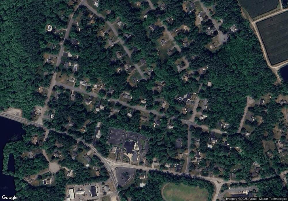
Map
Nearby Homes
- 161 Winter St Unit 11
- 127 Crescent Place
- 134 Crescent St
- Lot 6 Way
- 26 Stonebridge Dr
- 269 Lakeside Rd
- 361 County Rd
- 361A County Rd
- 84 Liberty St
- Lot 5 Princeton Way
- 430 Brook Bend Rd
- 139 Fairwood Dr
- 339 State St
- 724 Whitman St
- 108 Waterford Dr
- 80 Phillips St
- 72 Phillips St
- 66 Wildwood Rd
- 1054 Main St
- 61 Sawmill Ln Unit 61
Your Personal Tour Guide
Ask me questions while you tour the home.