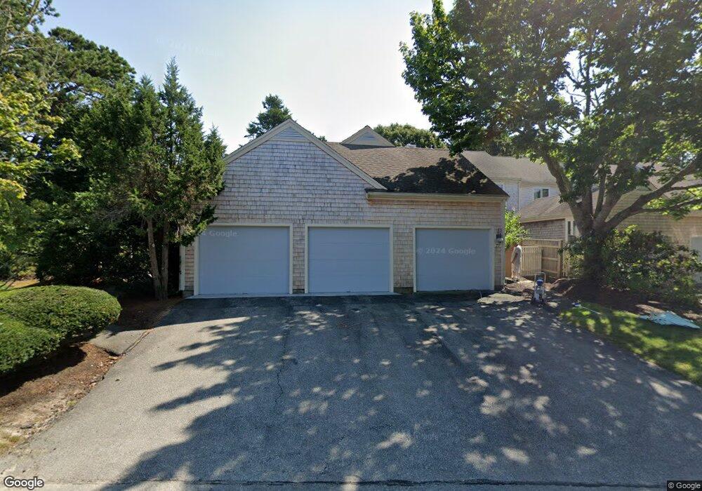
77 Kates Path Yarmouth Port, MA 02675
Yarmouth Port NeighborhoodEstimated Value: $546,000 - $582,000
2
Beds
3
Baths
1,201
Sq Ft
$472/Sq Ft
Est. Value
About This Home
This home is located at 77 Kates Path, Yarmouth Port, MA 02675 and is currently estimated at $566,782, approximately $471 per square foot. 77 Kates Path is a home located in Barnstable County with nearby schools including Dennis-Yarmouth Regional High School.
Ownership History
Date
Name
Owned For
Owner Type
Purchase Details
Closed on
May 11, 2022
Sold by
Rickard Audrey K
Bought by
Audrey K Rickard T
Current Estimated Value
Purchase Details
Closed on
Feb 6, 2019
Sold by
Audrey Rickard T
Bought by
Rickard Audrey K
Purchase Details
Closed on
May 23, 1990
Sold by
The Green Co Inc
Bought by
Leary Dorothy A
Create a Home Valuation Report for This Property
The Home Valuation Report is an in-depth analysis detailing your home's value as well as a comparison with similar homes in the area
Home Values in the Area
Average Home Value in this Area
Purchase History
| Date | Buyer | Sale Price | Title Company |
|---|---|---|---|
| Audrey K Rickard T | -- | None Available | |
| Rickard Audrey K | -- | -- | |
| Leary Dorothy A | $166,000 | -- |
Source: Public Records
Mortgage History
| Date | Status | Borrower | Loan Amount |
|---|---|---|---|
| Previous Owner | Leary Dorothy A | $80,000 |
Source: Public Records
Tax History Compared to Growth
Tax History
| Year | Tax Paid | Tax Assessment Tax Assessment Total Assessment is a certain percentage of the fair market value that is determined by local assessors to be the total taxable value of land and additions on the property. | Land | Improvement |
|---|---|---|---|---|
| 2025 | $3,458 | $488,400 | $0 | $488,400 |
| 2024 | $3,962 | $536,900 | $0 | $536,900 |
| 2023 | $2,981 | $367,600 | $0 | $367,600 |
| 2022 | $3,745 | $407,900 | $0 | $407,900 |
| 2021 | $3,642 | $381,000 | $0 | $381,000 |
| 2020 | $3,506 | $350,600 | $0 | $350,600 |
| 2019 | $3,288 | $325,500 | $0 | $325,500 |
| 2018 | $3,090 | $300,300 | $0 | $300,300 |
| 2017 | $2,884 | $287,800 | $0 | $287,800 |
| 2016 | $2,746 | $275,200 | $0 | $275,200 |
| 2015 | -- | $281,300 | $0 | $281,300 |
Source: Public Records
Map
Nearby Homes
- 228 Kates Path
- 17 Kates Path Unit A
- 34 Kates Path
- 34 Kates Path Unit 34
- 64 Kates Path
- 50 John Hall Cartway
- 50 John Hall Cartway Unit 50
- 10 Oak Glen
- 43 Canterbury Rd
- 7 Forest Gate Unit 7
- 44 Stratford Ln
- 25 Oak Glen Village Unit 25
- 25 Oak Glen
- 30 W Woods
- 30 W Woods Cir Unit 30
- 29 Boxwood Cir Unit 29
- 59 Massachusetts 6a Unit 19-2
- 6 Nimble Hill Dr
- 1 Barnacle Rd
- 59 Main St Unit 19-2
- 136 Kates Path Unit C
- 246 Kates Path
- 244 Kates Path
- 234 Kates Path
- 232 Kates Path
- 230 Kates Path
- 224 Kates Path
- 222 Kates Path
- 220 Kates Path
- 218 Kates Path
- 214 Kates Path
- 212 Kates Path
- 138 Kates Path
- 136 Kates Path
- 134 Kates Path
- 132 Kates Path
- 130 Kates Path
- 75 Kates Path
- 73 Kates Path
- 71 Kates Path