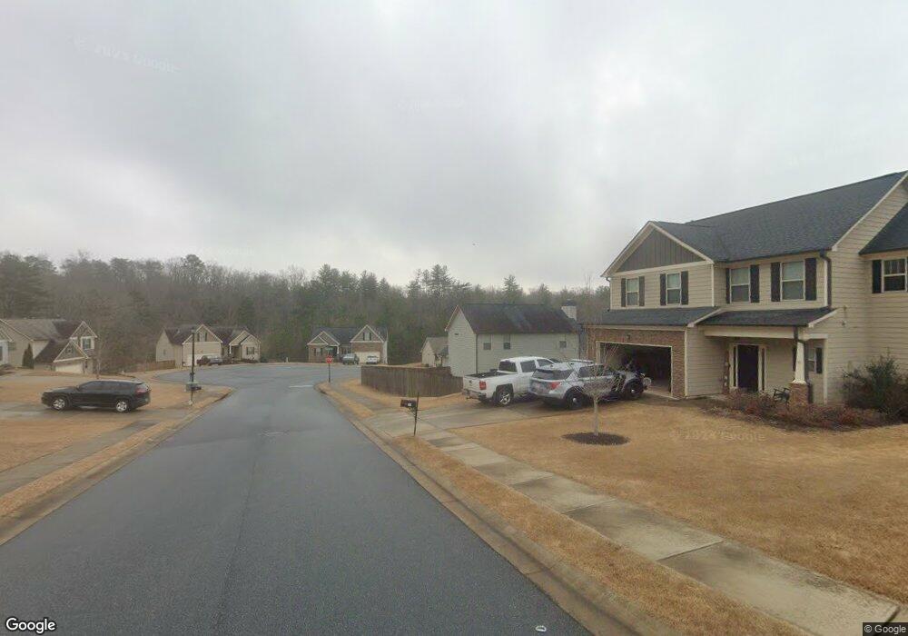
77 Kestrel Ct E Dawsonville, GA 30534
Estimated Value: $368,000 - $389,000
3
Beds
3
Baths
1,639
Sq Ft
$232/Sq Ft
Est. Value
About This Home
This home is located at 77 Kestrel Ct E, Dawsonville, GA 30534 and is currently estimated at $380,533, approximately $232 per square foot. 77 Kestrel Ct E is a home located in Dawson County with nearby schools including Robinson Elementary School, Dawson County Junior High School, and Dawson County Middle School.
Ownership History
Date
Name
Owned For
Owner Type
Purchase Details
Closed on
May 20, 2016
Sold by
Lcg Residential Llc
Bought by
Mcelroy David Michael
Current Estimated Value
Home Financials for this Owner
Home Financials are based on the most recent Mortgage that was taken out on this home.
Original Mortgage
$157,500
Outstanding Balance
$125,094
Interest Rate
3.59%
Mortgage Type
VA
Estimated Equity
$255,439
Purchase Details
Closed on
Dec 18, 2014
Sold by
Reo Funding Solutions Iii
Bought by
Lcg Residential Llc
Purchase Details
Closed on
Oct 24, 2012
Sold by
Atlas Ga Ii Spe Llc
Bought by
Reo Funding Solutions Iii Llc
Purchase Details
Closed on
Jul 6, 2010
Sold by
Knight Group The
Bought by
Atlas Ga Ii Spe Llc
Create a Home Valuation Report for This Property
The Home Valuation Report is an in-depth analysis detailing your home's value as well as a comparison with similar homes in the area
Home Values in the Area
Average Home Value in this Area
Purchase History
| Date | Buyer | Sale Price | Title Company |
|---|---|---|---|
| Mcelroy David Michael | $157,500 | -- | |
| Lcg Residential Llc | $925,500 | -- | |
| Reo Funding Solutions Iii Llc | $44,000 | -- | |
| Atlas Ga Ii Spe Llc | -- | -- |
Source: Public Records
Mortgage History
| Date | Status | Borrower | Loan Amount |
|---|---|---|---|
| Open | Mcelroy David Michael | $157,500 |
Source: Public Records
Tax History Compared to Growth
Tax History
| Year | Tax Paid | Tax Assessment Tax Assessment Total Assessment is a certain percentage of the fair market value that is determined by local assessors to be the total taxable value of land and additions on the property. | Land | Improvement |
|---|---|---|---|---|
| 2024 | $2,395 | $143,960 | $20,000 | $123,960 |
| 2023 | $2,341 | $145,280 | $20,000 | $125,280 |
| 2022 | $2,303 | $107,520 | $12,000 | $95,520 |
| 2021 | $2,078 | $91,840 | $12,000 | $79,840 |
| 2020 | $2,080 | $87,920 | $12,000 | $75,920 |
| 2019 | $1,863 | $78,040 | $12,000 | $66,040 |
| 2018 | $1,866 | $78,040 | $12,000 | $66,040 |
| 2017 | $1,507 | $70,241 | $12,000 | $58,241 |
| 2016 | $179 | $7,500 | $7,500 | $0 |
| 2015 | $180 | $7,500 | $7,500 | $0 |
| 2014 | $77 | $3,040 | $3,040 | $0 |
| 2013 | -- | $3,040 | $3,040 | $0 |
Source: Public Records
Map
Nearby Homes
- 282 Red Hawk Dr
- 8 Swanson St
- 198 Red Hawk Dr
- 66 Red Hawk Dr
- 555 Perimeter Rd
- 42 Vickie Dr E
- 87 Thorndale Ln
- 378 Shoal Creek Rd
- 356 Orange Cir
- 47 Bent Ridge Dr S
- 57 Fausett Ln
- 53 Fausett Ln
- 19 Fausett Ln
- 0 Dawsonville Unit 10577726
- 0 Highway 53 Unit 10545668
- 0 Highway 53 Unit 10402225
- 0 Highway 53 Unit 7477129
- 0 Afton #3 Rd
- 240 River Mill Ln
- 61 Harrier Dr
- 91 Kestrel Ct E
- 61 Kestrel Ct E
- 0 Kestrel Ct E Unit 8762671
- 0 Kestrel Ct E
- 324 Red Hawk Dr
- 0 Red Hawk Dr Unit 8639451
- 0 Red Hawk Dr Unit 8558050
- 0 Red Hawk Dr Unit 8510055
- 0 Red Hawk Dr Unit 8509005
- 0 Red Hawk Dr Unit 8285926
- 0 Red Hawk Dr Unit 9042359
- 0 Red Hawk Dr Unit 8761592
- 0 Red Hawk Dr Unit 8782150
- 0 Red Hawk Dr Unit 8800868
- 0 Red Hawk Dr Unit 8897762
- 0 Red Hawk Dr Unit 3231159
- 0 Red Hawk Dr Unit 7242978
- 0 Red Hawk Dr Unit 7275395
- 0 Red Hawk Dr Unit 7299174