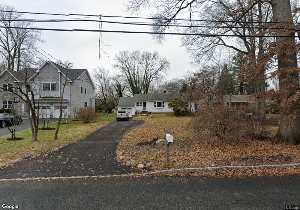
77 Kline Blvd Berkeley Heights, NJ 07922
Estimated Value: $570,000 - $733,000
--
Bed
--
Bath
1,094
Sq Ft
$602/Sq Ft
Est. Value
About This Home
This home is located at 77 Kline Blvd, Berkeley Heights, NJ 07922 and is currently estimated at $658,222, approximately $601 per square foot. 77 Kline Blvd is a home located in Union County with nearby schools including Columbia Middle School, Governor Livingston High School, and The Academy of Our Lady of Peace.
Ownership History
Date
Name
Owned For
Owner Type
Purchase Details
Closed on
Aug 22, 2022
Sold by
Popovitch Robert O
Bought by
Gordon Lisa N and Boxill Lavinia M
Current Estimated Value
Home Financials for this Owner
Home Financials are based on the most recent Mortgage that was taken out on this home.
Original Mortgage
$350,000
Outstanding Balance
$334,051
Interest Rate
5.3%
Mortgage Type
New Conventional
Estimated Equity
$324,171
Purchase Details
Closed on
Jul 27, 2011
Sold by
Cronin Geoffrey T and Fischer Anne E
Bought by
Popovitch Robrts S
Create a Home Valuation Report for This Property
The Home Valuation Report is an in-depth analysis detailing your home's value as well as a comparison with similar homes in the area
Home Values in the Area
Average Home Value in this Area
Purchase History
| Date | Buyer | Sale Price | Title Company |
|---|---|---|---|
| Gordon Lisa N | $450,000 | -- | |
| Gordon Lisa N | $450,000 | Prestige Title | |
| Popovitch Robrts S | $360,000 | Stewart Title Guaranty Co |
Source: Public Records
Mortgage History
| Date | Status | Borrower | Loan Amount |
|---|---|---|---|
| Open | Gordon Lisa N | $350,000 | |
| Closed | Gordon Lisa N | $350,000 |
Source: Public Records
Tax History Compared to Growth
Tax History
| Year | Tax Paid | Tax Assessment Tax Assessment Total Assessment is a certain percentage of the fair market value that is determined by local assessors to be the total taxable value of land and additions on the property. | Land | Improvement |
|---|---|---|---|---|
| 2025 | $9,496 | $258,700 | $145,500 | $113,200 |
| 2024 | $9,358 | $221,500 | $145,500 | $76,000 |
| 2023 | $9,358 | $221,500 | $145,500 | $76,000 |
| 2022 | $9,301 | $221,500 | $145,500 | $76,000 |
| 2021 | $9,250 | $221,500 | $145,500 | $76,000 |
| 2020 | $9,299 | $221,500 | $145,500 | $76,000 |
| 2019 | $9,252 | $221,500 | $145,500 | $76,000 |
| 2018 | $9,059 | $221,500 | $145,500 | $76,000 |
| 2017 | $8,949 | $221,500 | $145,500 | $76,000 |
| 2016 | $8,791 | $221,500 | $145,500 | $76,000 |
| 2015 | $8,743 | $221,500 | $145,500 | $76,000 |
| 2014 | $8,514 | $221,500 | $145,500 | $76,000 |
Source: Public Records
Map
Nearby Homes
- 33 Bristol Ct
- 41 Meadowview Ln
- 34 Meadowview Ln
- 132 Fairview Ave
- 30 Robbins Ave
- 19 Guenevere Way Ondo
- 12 Park Edge
- 93 Park Edge Unit 3H
- 11 Earl Place
- 126 Snyder Ave
- 43 Kuntz Ave
- 61 Kuntz Ave
- 63 Snyder Ave
- 46 Snyder Ave
- 66 Evergreen Ave
- 25 Oechsner Ct
- 28 Peacock Ln Unit 28
- 19 Slope Dr
- 45 Wilson Dr
- 27 Angela Way Unit 727