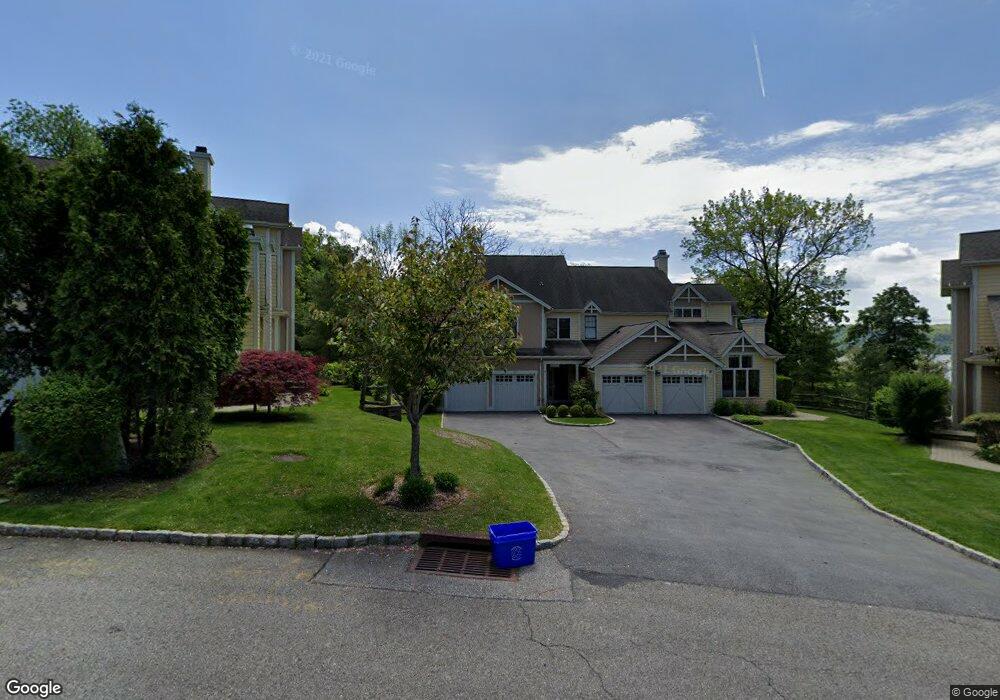
77 Landing Dr Unit 77 Dobbs Ferry, NY 10522
Estimated Value: $1,637,000 - $1,920,000
--
Bed
4
Baths
2,284
Sq Ft
$763/Sq Ft
Est. Value
About This Home
This home is located at 77 Landing Dr Unit 77, Dobbs Ferry, NY 10522 and is currently estimated at $1,742,574, approximately $762 per square foot. 77 Landing Dr Unit 77 is a home located in Westchester County with nearby schools including Springhurst Elementary School, Dobbs Ferry High School, and The Masters School.
Ownership History
Date
Name
Owned For
Owner Type
Purchase Details
Closed on
Aug 28, 2013
Sold by
Josto Robert M and Josto Elida J
Bought by
Jensen Curtis
Current Estimated Value
Purchase Details
Closed on
Apr 25, 2003
Sold by
Summit Landing Llc
Bought by
Justo Robert M and Justo Elida J
Home Financials for this Owner
Home Financials are based on the most recent Mortgage that was taken out on this home.
Original Mortgage
$768,800
Interest Rate
4.75%
Mortgage Type
Purchase Money Mortgage
Create a Home Valuation Report for This Property
The Home Valuation Report is an in-depth analysis detailing your home's value as well as a comparison with similar homes in the area
Home Values in the Area
Average Home Value in this Area
Purchase History
| Date | Buyer | Sale Price | Title Company |
|---|---|---|---|
| Jensen Curtis | $1,120,000 | The Judical Title Insurance | |
| Justo Robert M | $962,000 | -- |
Source: Public Records
Mortgage History
| Date | Status | Borrower | Loan Amount |
|---|---|---|---|
| Previous Owner | Justo Robert M | $768,800 |
Source: Public Records
Tax History Compared to Growth
Tax History
| Year | Tax Paid | Tax Assessment Tax Assessment Total Assessment is a certain percentage of the fair market value that is determined by local assessors to be the total taxable value of land and additions on the property. | Land | Improvement |
|---|---|---|---|---|
| 2024 | $22,327 | $772,600 | $212,700 | $559,900 |
| 2023 | $19,056 | $709,100 | $212,700 | $496,400 |
| 2022 | $21,561 | $592,600 | $50,000 | $542,600 |
| 2021 | $28,483 | $1,065,700 | $587,800 | $477,900 |
| 2020 | $41,996 | $1,255,800 | $555,000 | $700,800 |
| 2019 | $40,439 | $1,255,800 | $555,000 | $700,800 |
| 2018 | $5,369 | $1,220,200 | $555,000 | $665,200 |
| 2017 | $5,381 | $1,196,500 | $555,000 | $641,500 |
| 2016 | $968,215 | $1,184,700 | $555,000 | $629,700 |
| 2015 | -- | $24,900 | $7,800 | $17,100 |
| 2014 | -- | $24,900 | $7,800 | $17,100 |
| 2013 | $23,509 | $24,900 | $7,800 | $17,100 |
Source: Public Records
Map
Nearby Homes
- 31 Hudson Dr
- 100 Cedar St Unit B33
- 66 Landing Dr
- 23 Seneca St
- 10 Sherman Ave
- 36 Belden Ave
- 50 Belden Ave
- 100 Ardsley Ave W Unit 2L
- 100 Ardsley Ave W Unit 7KL
- 100 W Ardsley Ave Unit 2G
- 1 Roland Rd
- 15 Hudson Rd E
- 18 Eldredge Place
- 33 Livingston Ave
- 13 English Ln Unit B
- 0 Sherman Ave Unit KEY841006
- 63 Grandview Ave
- 70 Washington Ave
- 164 Washington Ave
- 78 Oliphant Ave