77 Log Cabin Rd Westport Island, ME 04578
Estimated Value: $902,000 - $1,271,000
3
Beds
3
Baths
2,200
Sq Ft
$474/Sq Ft
Est. Value
About This Home
This home is located at 77 Log Cabin Rd, Westport Island, ME 04578 and is currently estimated at $1,043,270, approximately $474 per square foot. 77 Log Cabin Rd is a home located in Lincoln County.
Ownership History
Date
Name
Owned For
Owner Type
Purchase Details
Closed on
Nov 15, 2012
Sold by
Anderson Andrew H
Bought by
Neill Robert L and Neill Karen
Current Estimated Value
Home Financials for this Owner
Home Financials are based on the most recent Mortgage that was taken out on this home.
Original Mortgage
$512,800
Outstanding Balance
$351,810
Interest Rate
3.39%
Mortgage Type
Purchase Money Mortgage
Estimated Equity
$691,460
Create a Home Valuation Report for This Property
The Home Valuation Report is an in-depth analysis detailing your home's value as well as a comparison with similar homes in the area
Home Values in the Area
Average Home Value in this Area
Purchase History
| Date | Buyer | Sale Price | Title Company |
|---|---|---|---|
| Neill Robert L | -- | -- | |
| Neill Robert L | -- | -- |
Source: Public Records
Mortgage History
| Date | Status | Borrower | Loan Amount |
|---|---|---|---|
| Open | Neill Robert L | $512,800 | |
| Closed | Neill Robert L | $512,800 |
Source: Public Records
Tax History Compared to Growth
Tax History
| Year | Tax Paid | Tax Assessment Tax Assessment Total Assessment is a certain percentage of the fair market value that is determined by local assessors to be the total taxable value of land and additions on the property. | Land | Improvement |
|---|---|---|---|---|
| 2025 | $8,191 | $963,698 | $279,472 | $684,226 |
| 2024 | $6,483 | $876,087 | $254,065 | $622,022 |
| 2023 | $5,734 | $875,369 | $253,347 | $622,022 |
| 2022 | $5,955 | $717,517 | $207,662 | $509,855 |
| 2021 | $5,668 | $717,517 | $207,662 | $509,855 |
| 2020 | $5,812 | $717,517 | $207,662 | $509,855 |
| 2019 | $5,360 | $717,517 | $207,662 | $509,855 |
| 2018 | $4,379 | $663,517 | $207,662 | $455,855 |
| 2016 | $4,777 | $663,517 | $207,662 | $455,855 |
| 2014 | $6,291 | $837,626 | $0 | $0 |
| 2013 | $6,492 | $837,626 | $272,494 | $565,132 |
Source: Public Records
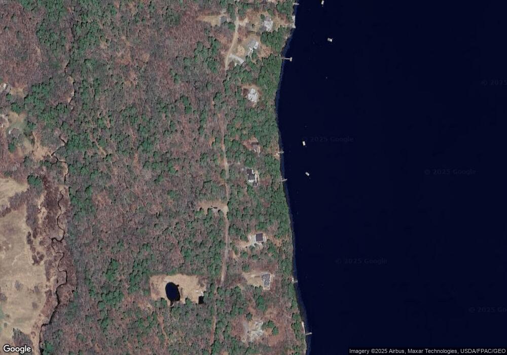
Map
Nearby Homes
- M4 L12.30B McCarty Cove Rd
- 1 Willis Point Rd
- 44-4 Windrush Ln
- 0 Maine 144
- 23 Sunny Acres Ln
- 119 Knubble Bay Rd
- 576 Back River Rd
- 712 Back River Rd
- 19 Riverside Ave
- 40 Knubble Rd
- 13 Porcupine Ln
- 32 Murray Hill Rd
- 978 Wiscasset Rd
- 284 Hockomock Rd
- 670 Wiscasset Rd
- 302 Townsend Ave
- 15 Lewis Dr
- 96 Forest Haven Rd
- 68 Narrows Way
- 18 High Head Rd
- 83 Log Cabin Rd
- 99 Log Cabin Rd
- 57 Log Cabin Rd
- 53 Log Cabin Rd
- 49 Log Cabin Rd
- 109 Log Cabin Rd
- 113 Log Cabin Rd
- 117 Log Cabin Rd
- 33 Log Cabin Rd
- 125 Log Cabin Rd
- 27 Log Cabin Rd
- 141 Log Cabin Rd
- 25 Cromwell Rd
- 21 Log Cabin Rd
- 27 Cromwell Rd
- 0 Log Cabin Rd
- 147 Log Cabin Rd
- 17 Cromwell Rd
- 90 E Shore Rd
- 35 Cromwell Rd