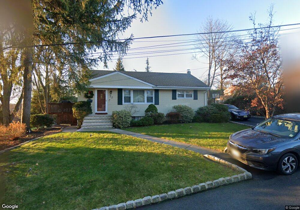
77 Lozier Ave Emerson, NJ 07630
Estimated Value: $610,000 - $709,000
--
Bed
--
Bath
988
Sq Ft
$657/Sq Ft
Est. Value
About This Home
This home is located at 77 Lozier Ave, Emerson, NJ 07630 and is currently estimated at $649,266, approximately $657 per square foot. 77 Lozier Ave is a home located in Bergen County with nearby schools including Memorial Elementary School, Patrick M. Villano Elementary School, and Emerson Jr Sr High School.
Ownership History
Date
Name
Owned For
Owner Type
Purchase Details
Closed on
Oct 21, 1999
Sold by
Dime Anna and Bevilacqua Anna
Bought by
Dime John M and Dime Anna
Current Estimated Value
Purchase Details
Closed on
May 30, 1995
Sold by
Smith Douglas
Bought by
Evilacqua Anna B
Home Financials for this Owner
Home Financials are based on the most recent Mortgage that was taken out on this home.
Original Mortgage
$70,000
Interest Rate
8.2%
Create a Home Valuation Report for This Property
The Home Valuation Report is an in-depth analysis detailing your home's value as well as a comparison with similar homes in the area
Home Values in the Area
Average Home Value in this Area
Purchase History
| Date | Buyer | Sale Price | Title Company |
|---|---|---|---|
| Dime John M | -- | -- | |
| Evilacqua Anna B | $194,000 | -- |
Source: Public Records
Mortgage History
| Date | Status | Borrower | Loan Amount |
|---|---|---|---|
| Closed | Evilacqua Anna B | $70,000 |
Source: Public Records
Tax History Compared to Growth
Tax History
| Year | Tax Paid | Tax Assessment Tax Assessment Total Assessment is a certain percentage of the fair market value that is determined by local assessors to be the total taxable value of land and additions on the property. | Land | Improvement |
|---|---|---|---|---|
| 2025 | $12,756 | $386,200 | $229,500 | $156,700 |
| 2024 | $12,420 | $386,200 | $229,500 | $156,700 |
| 2023 | $11,694 | $386,200 | $229,500 | $156,700 |
| 2022 | $11,694 | $386,200 | $229,500 | $156,700 |
| 2021 | $11,429 | $386,200 | $229,500 | $156,700 |
| 2020 | $11,242 | $386,200 | $229,500 | $156,700 |
| 2019 | $10,987 | $386,200 | $229,500 | $156,700 |
| 2018 | $10,493 | $386,200 | $229,500 | $156,700 |
| 2017 | $10,281 | $386,200 | $229,500 | $156,700 |
| 2016 | $10,057 | $386,200 | $229,500 | $156,700 |
| 2015 | $9,848 | $386,200 | $229,500 | $156,700 |
| 2014 | $9,640 | $386,200 | $229,500 | $156,700 |
Source: Public Records
Map
Nearby Homes
- 30 Birch St
- 212 Hasbrouck Ave
- 56 Jefferson Ave
- 21 Valley Brook Dr
- 154 Linwood Ave
- 75 Demarest Ave
- 92 Locust Ave
- 1 High St
- 140 Vivian Ave
- 15 Spruce Ave
- 87 Palisade Ave
- 25 Crest St Unit 206
- 150 Highland Ave
- 138 Palisade Ave
- 812 Golf Place
- 20 Lewis Place
- 34 Lewis Place
- 27 Sullivan Dr
- 131 4th Ave
- 219 Randolph Ave
- 26 Hillside Ave
- 85 Lozier Ave
- 38 Hillside Ave Unit 17E
- 132 Hasbrouck Ave
- 80 Lozier Ave
- 72 Lozier Ave
- 90 Lozier Ave
- 124 Hasbrouck Ave
- 44 Hillside Ave
- 91 Lozier Ave
- 100 Lozier Ave
- 207 Wortendyke Ave
- 17 Birch St
- 13 Birch St
- 78 Lincoln Blvd
- 25 Birch St
- 203 Wortendyke Ave
- 152 Hasbrouck Ave
- 84 Lincoln Blvd
- 110 Hasbrouck Ave