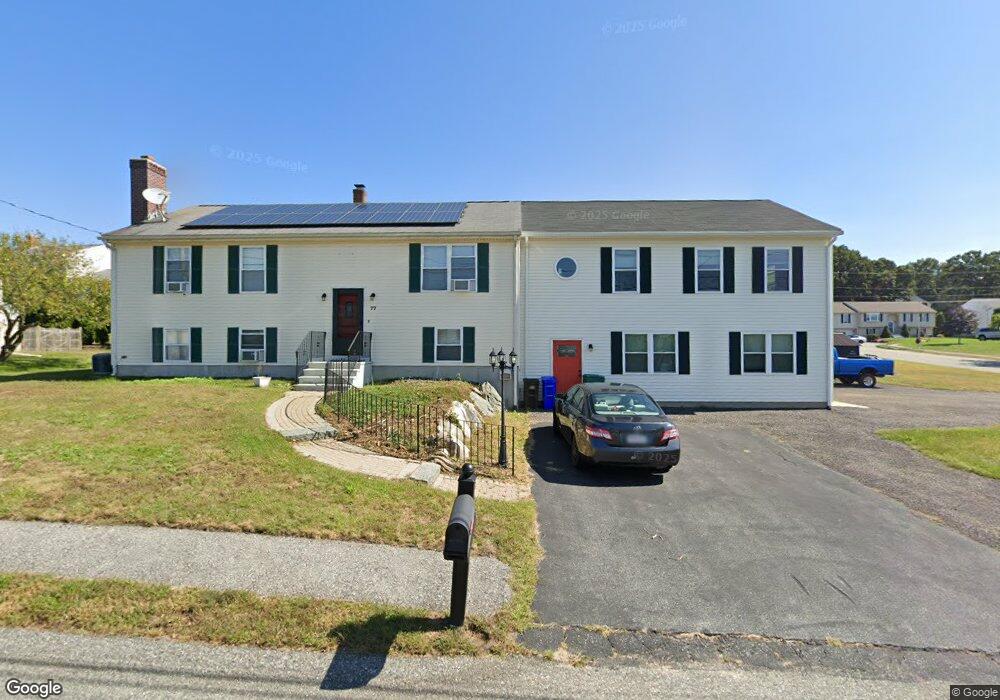
77 Lussier Ave Attleboro, MA 02703
Estimated Value: $581,000 - $689,859
3
Beds
2
Baths
1,988
Sq Ft
$323/Sq Ft
Est. Value
About This Home
This home is located at 77 Lussier Ave, Attleboro, MA 02703 and is currently estimated at $642,215, approximately $323 per square foot. 77 Lussier Ave is a home located in Bristol County with nearby schools including Hill-Roberts Elementary School, Robert J. Coelho Middle School, and Attleboro High School.
Ownership History
Date
Name
Owned For
Owner Type
Purchase Details
Closed on
May 22, 1997
Sold by
Case John E and Case John E
Bought by
Estremera Jose M and Novick Traci
Current Estimated Value
Home Financials for this Owner
Home Financials are based on the most recent Mortgage that was taken out on this home.
Original Mortgage
$124,300
Interest Rate
8.08%
Mortgage Type
Purchase Money Mortgage
Create a Home Valuation Report for This Property
The Home Valuation Report is an in-depth analysis detailing your home's value as well as a comparison with similar homes in the area
Home Values in the Area
Average Home Value in this Area
Purchase History
| Date | Buyer | Sale Price | Title Company |
|---|---|---|---|
| Estremera Jose M | $128,000 | -- |
Source: Public Records
Mortgage History
| Date | Status | Borrower | Loan Amount |
|---|---|---|---|
| Open | Estremera Jose M | $103,000 | |
| Closed | Estremera Jose M | $29,750 | |
| Closed | Estremera Jose M | $126,000 | |
| Closed | Estremera Jose M | $124,300 |
Source: Public Records
Tax History Compared to Growth
Tax History
| Year | Tax Paid | Tax Assessment Tax Assessment Total Assessment is a certain percentage of the fair market value that is determined by local assessors to be the total taxable value of land and additions on the property. | Land | Improvement |
|---|---|---|---|---|
| 2025 | $7,529 | $599,900 | $181,400 | $418,500 |
| 2024 | $7,718 | $606,300 | $199,500 | $406,800 |
| 2023 | $7,160 | $523,000 | $175,000 | $348,000 |
| 2022 | $6,588 | $455,900 | $154,600 | $301,300 |
| 2021 | $5,226 | $353,100 | $149,000 | $204,100 |
| 2020 | $4,883 | $335,400 | $141,300 | $194,100 |
| 2019 | $4,612 | $325,700 | $138,600 | $187,100 |
| 2018 | $4,422 | $298,400 | $134,600 | $163,800 |
| 2017 | $4,425 | $304,100 | $140,000 | $164,100 |
| 2016 | $4,080 | $275,300 | $130,600 | $144,700 |
| 2015 | $4,026 | $273,700 | $130,600 | $143,100 |
| 2014 | $3,867 | $260,400 | $125,600 | $134,800 |
Source: Public Records
Map
Nearby Homes
- 7 Queens Rd
- 3 Robin Hood Ln Unit 179
- 509 Mendon Rd Unit 509
- 511 Mendon Rd Unit 511
- 6 Merlin Dr Unit 265
- 143 Carrier Ave
- 193 Robinson Ave
- 11 Merlin St
- 330 Brown St
- 62 Jessie Ave
- 40 Central Ave
- 28 Crowell St
- 30 Thomas Ave
- 96 Robinson Ave
- 113 Waterman St
- 106 Pond St Unit U 31
- 16 Ingraham St
- 51 Lawn St
- 115 Waterman St
- 91 Greenwich St
- 78 Carrier Ave
- 88 Lussier Ave
- 83 Lussier Ave
- 86 Carrier Ave
- 71 Lussier Ave
- 96 Lussier Ave
- 80 Lussier Ave
- 70 Carrier Ave
- 71 Carrier Ave
- 79 Carrier Ave
- 63 Lussier Ave
- 63 Carrier Ave
- 31 Castle Rd
- 87 Carrier Ave
- 104 Lussier Ave
- 37 Castle Rd
- 89 Lussier Ave
- 62 Carrier Ave
- 29 Castle Rd Unit 162
- 94 Carrier Ave