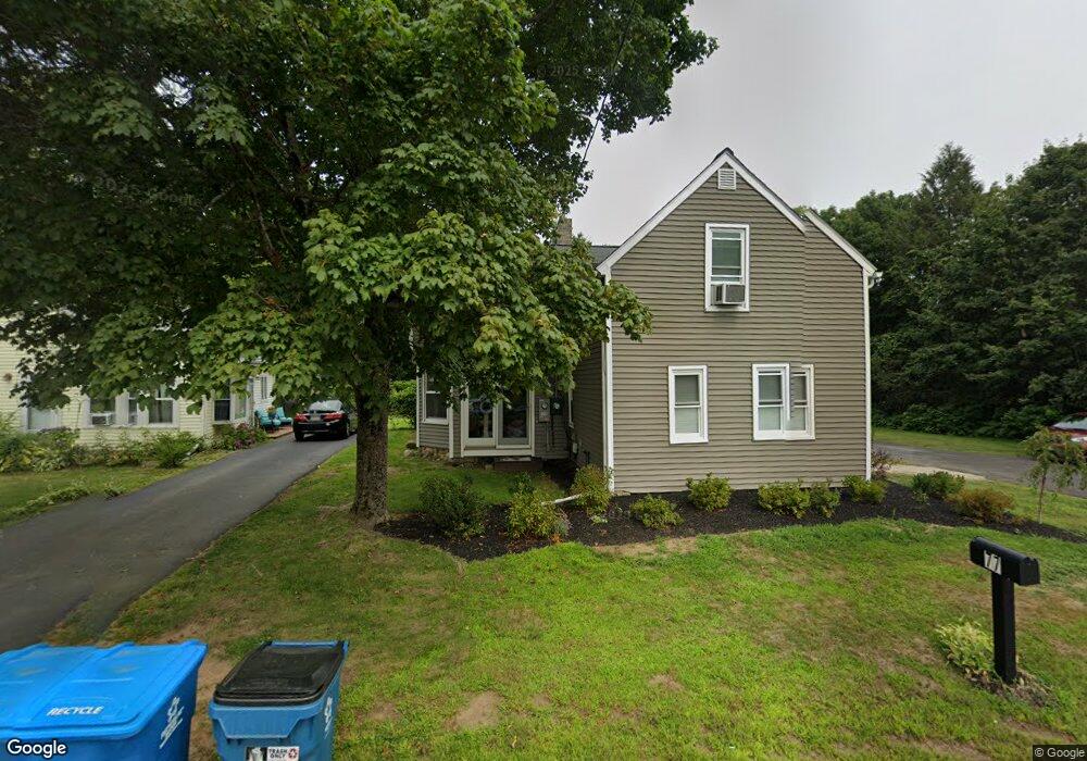
77 Maple Ave Rutland, MA 01543
Estimated Value: $407,560 - $499,000
4
Beds
2
Baths
2,118
Sq Ft
$218/Sq Ft
Est. Value
About This Home
This home is located at 77 Maple Ave, Rutland, MA 01543 and is currently estimated at $462,140, approximately $218 per square foot. 77 Maple Ave is a home located in Worcester County with nearby schools including Wachusett Regional High School.
Ownership History
Date
Name
Owned For
Owner Type
Purchase Details
Closed on
Sep 16, 2024
Sold by
Briggs Douglas C and Briggs Ruth L
Bought by
Pickett Jodi
Current Estimated Value
Purchase Details
Closed on
Sep 13, 2023
Sold by
Briggs Douglas C and Briggs Ruth L
Bought by
Briggs Douglas C and Briggs Ruth L
Purchase Details
Closed on
Mar 7, 1985
Bought by
Briggs Douglas C
Create a Home Valuation Report for This Property
The Home Valuation Report is an in-depth analysis detailing your home's value as well as a comparison with similar homes in the area
Home Values in the Area
Average Home Value in this Area
Purchase History
| Date | Buyer | Sale Price | Title Company |
|---|---|---|---|
| Pickett Jodi | -- | None Available | |
| Pickett Jodi | -- | None Available | |
| Briggs Douglas C | -- | None Available | |
| Briggs Douglas C | -- | None Available | |
| Briggs Douglas C | $70,500 | -- |
Source: Public Records
Mortgage History
| Date | Status | Borrower | Loan Amount |
|---|---|---|---|
| Previous Owner | Briggs Douglas C | $200,000 | |
| Previous Owner | Briggs Douglas C | $121,400 | |
| Previous Owner | Briggs Douglas C | $123,750 |
Source: Public Records
Tax History
| Year | Tax Paid | Tax Assessment Tax Assessment Total Assessment is a certain percentage of the fair market value that is determined by local assessors to be the total taxable value of land and additions on the property. | Land | Improvement |
|---|---|---|---|---|
| 2025 | $4,347 | $305,300 | $83,700 | $221,600 |
| 2024 | $4,338 | $292,500 | $80,000 | $212,500 |
| 2023 | $3,998 | $291,400 | $75,400 | $216,000 |
| 2022 | $4,053 | $256,700 | $63,700 | $193,000 |
| 2021 | $4,086 | $244,700 | $63,700 | $181,000 |
| 2020 | $3,841 | $218,100 | $60,200 | $157,900 |
| 2019 | $3,716 | $207,700 | $57,400 | $150,300 |
| 2018 | $3,611 | $199,200 | $57,400 | $141,800 |
| 2017 | $3,649 | $199,200 | $57,400 | $141,800 |
| 2016 | $3,484 | $200,600 | $57,400 | $143,200 |
| 2015 | $3,271 | $185,300 | $57,400 | $127,900 |
| 2014 | $3,051 | $178,300 | $57,400 | $120,900 |
Source: Public Records
Map
Nearby Homes
- 85 Maple Ave Unit A
- 6 Lewis St
- 12 Lewis St
- 27 Lewis St
- 11 Lewis St
- 21 Lewis St
- 210 Fidelity Dr Unit 84
- 212 Fidelity Dr Unit 83
- 28 Forest Hill Dr
- 22 Village Way
- 10 Fidelity Dr Unit 5
- 12 Fidelity Dr Unit 6
- 15 Fidelity Dr Unit 70
- 18 Fidelity Dr Unit 9
- 20 Fidelity Dr Unit 10
- 39 Laurelwood Rd
- 20 Fernwood Dr
- 176 Maple Ave Unit 7-21
- 176 Maple Ave Unit 3-2
- 176 Maple Ave Unit 4-6
- 75 Maple Ave
- 71 Maple Ave Unit 73
- 1 Highland Park Rd
- 3 Highland Park Rd
- 105 Maple Ave
- Lot 103R Lyndsay Ln
- 69 Maple Ave
- 5 Highland Park Rd
- 6 Inwood Rd
- 83 B Maple Ave Unit B
- 83A Maple Ave
- 83A Maple Ave Unit 1
- 2 Highland Park Rd
- 67 Maple Ave
- 7 Highland Park Rd
- 5 Inwood Rd
- 68 Maple Ave
- 6 Highland Park Rd
- 85 Maple Ave
- 7 Inwood Rd
Your Personal Tour Guide
Ask me questions while you tour the home.