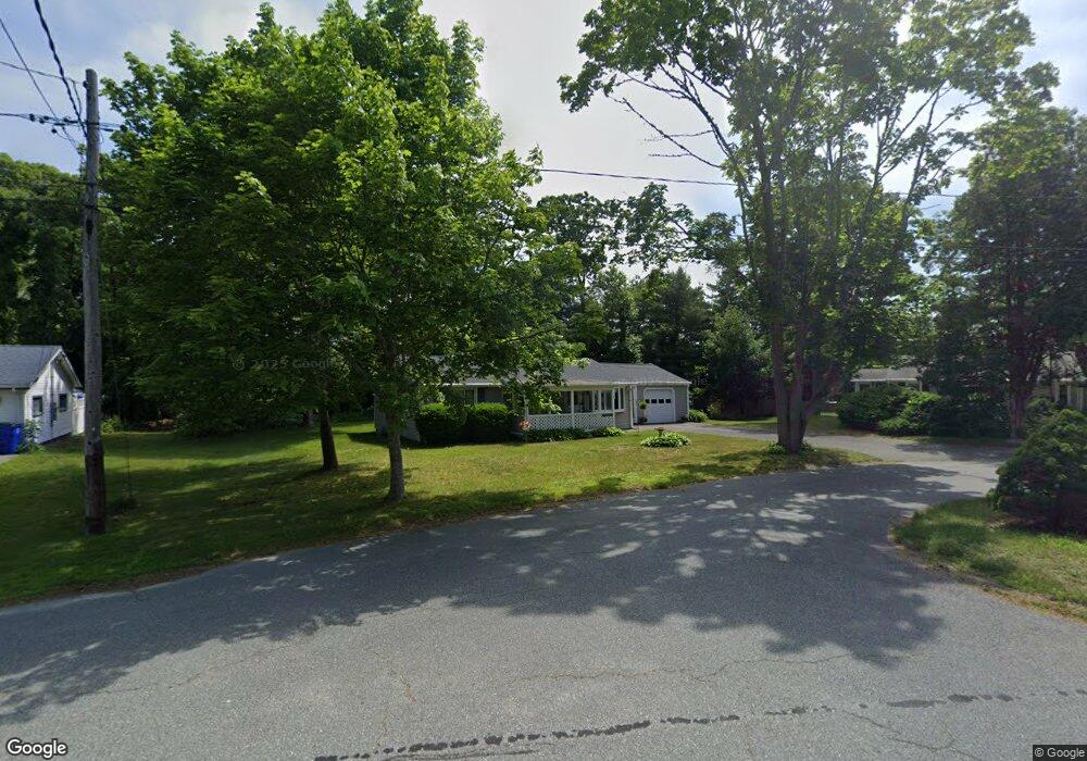
77 Maple St Bourne, MA 02532
Buzzards Bay NeighborhoodEstimated Value: $416,630 - $490,000
3
Beds
1
Bath
930
Sq Ft
$492/Sq Ft
Est. Value
About This Home
This home is located at 77 Maple St, Bourne, MA 02532 and is currently estimated at $457,658, approximately $492 per square foot. 77 Maple St is a home located in Barnstable County with nearby schools including Bourne High School, St Margaret Regional School, and Cadence Academy Preschool - Bourne.
Ownership History
Date
Name
Owned For
Owner Type
Purchase Details
Closed on
Apr 18, 2018
Sold by
Smith David T
Bought by
Smith William J
Current Estimated Value
Purchase Details
Closed on
Apr 29, 2009
Sold by
Smith David Theodore and Smith Patricia Ann
Bought by
Smith David T
Create a Home Valuation Report for This Property
The Home Valuation Report is an in-depth analysis detailing your home's value as well as a comparison with similar homes in the area
Home Values in the Area
Average Home Value in this Area
Purchase History
| Date | Buyer | Sale Price | Title Company |
|---|---|---|---|
| Smith William J | -- | -- | |
| Smith William J | -- | -- | |
| Smith David T | -- | -- | |
| Smith David T | -- | -- |
Source: Public Records
Mortgage History
| Date | Status | Borrower | Loan Amount |
|---|---|---|---|
| Previous Owner | Smith David T | $15,000 |
Source: Public Records
Tax History
| Year | Tax Paid | Tax Assessment Tax Assessment Total Assessment is a certain percentage of the fair market value that is determined by local assessors to be the total taxable value of land and additions on the property. | Land | Improvement |
|---|---|---|---|---|
| 2025 | $2,775 | $355,300 | $178,600 | $176,700 |
| 2024 | $2,713 | $338,300 | $170,100 | $168,200 |
| 2023 | $2,638 | $299,400 | $150,500 | $148,900 |
| 2022 | $2,536 | $251,300 | $133,200 | $118,100 |
| 2021 | $2,463 | $228,700 | $121,200 | $107,500 |
| 2020 | $2,383 | $221,900 | $120,100 | $101,800 |
| 2019 | $2,272 | $216,200 | $120,100 | $96,100 |
| 2018 | $2,190 | $207,800 | $108,700 | $99,100 |
| 2017 | $2,119 | $205,700 | $107,600 | $98,100 |
| 2016 | $1,778 | $175,000 | $96,300 | $78,700 |
| 2015 | $1,762 | $175,000 | $96,300 | $78,700 |
Source: Public Records
Map
Nearby Homes
- 58 Maple St
- 304 Main St
- 38 Old Bridge Rd
- 6 Honora Ct
- 3 Honora Ln Unit 3
- 23 Alderberry Rd
- 46 Holt Rd Unit B
- 46 Holt Rd
- 60 Sandwich Rd
- 40-A Lafayette Ave
- 44 Cotuit Rd
- 10 Sandy Ln
- 4 Van Bummel Rd
- 5 Zoli Ln
- 810 Head of The Bay Rd
- 9 Hideaway Rd Unit F
- 13 Hideaway Village Unit G
- 60 Bourne Neck Dr
- 24 Ships View Terrace
- 29 Weather Deck Rd
- 75 Maple St
- 17 Head of The Bay Rd
- 23 Head of The Bay Rd
- 89 Maple St
- 76 Maple St
- 82 Maple St
- 73 Maple St
- 15 Head of The Bay Rd
- 15 Head of The Bay Rd
- 13 Head of The Bay Rd
- 13 Head of Bay
- 97 Maple St
- 99 Maple St
- 66 Maple St
- 47 Cypress St
- 25 Head of The Bay Rd
- 47 Cypress St
- 13 Head of The Bay Rd
- 67 Maple St
- 9 Head of The Bay Rd
Your Personal Tour Guide
Ask me questions while you tour the home.