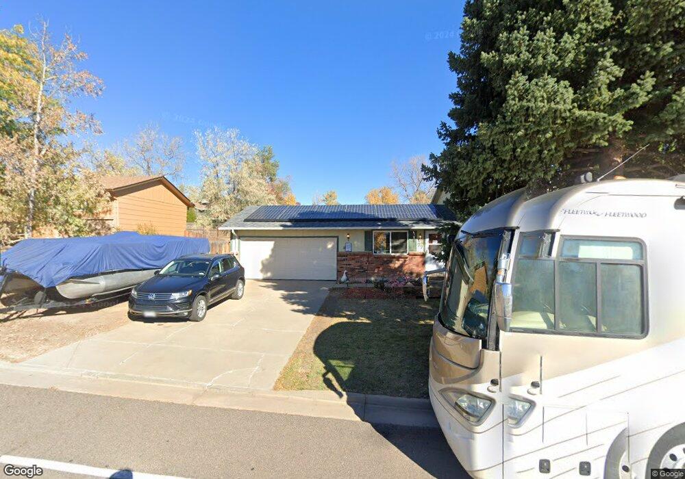
77 Maximus Dr Lone Tree, CO 80124
Estimated Value: $510,712 - $525,000
3
Beds
2
Baths
1,955
Sq Ft
$265/Sq Ft
Est. Value
About This Home
This home is located at 77 Maximus Dr, Lone Tree, CO 80124 and is currently estimated at $517,856, approximately $264 per square foot. 77 Maximus Dr is a home located in Douglas County with nearby schools including Acres Green Elementary School, Cresthill Middle School, and Highlands Ranch High School.
Ownership History
Date
Name
Owned For
Owner Type
Purchase Details
Closed on
Apr 14, 2015
Sold by
Rooney Neil J
Bought by
Patrick Essie G
Current Estimated Value
Home Financials for this Owner
Home Financials are based on the most recent Mortgage that was taken out on this home.
Original Mortgage
$305,768
Outstanding Balance
$233,349
Interest Rate
3.82%
Mortgage Type
VA
Estimated Equity
$284,507
Purchase Details
Closed on
Apr 13, 2015
Sold by
Rooney Neil J
Bought by
Patrick Essie G
Home Financials for this Owner
Home Financials are based on the most recent Mortgage that was taken out on this home.
Original Mortgage
$305,768
Outstanding Balance
$233,349
Interest Rate
3.82%
Mortgage Type
VA
Estimated Equity
$284,507
Purchase Details
Closed on
Apr 26, 2007
Sold by
Schantini Scott R and Schantini Shelley D
Bought by
Rooney Neil J
Home Financials for this Owner
Home Financials are based on the most recent Mortgage that was taken out on this home.
Original Mortgage
$228,907
Interest Rate
6.1%
Mortgage Type
FHA
Purchase Details
Closed on
Mar 25, 1999
Sold by
Alexander Andrew M and Alexander Tyann V
Bought by
Schantini Scott R and Schantini Shelley D
Home Financials for this Owner
Home Financials are based on the most recent Mortgage that was taken out on this home.
Original Mortgage
$132,300
Interest Rate
6.82%
Purchase Details
Closed on
Feb 25, 1999
Sold by
Alexander Andrew M
Bought by
Alexander Tyann V
Home Financials for this Owner
Home Financials are based on the most recent Mortgage that was taken out on this home.
Original Mortgage
$132,300
Interest Rate
6.82%
Purchase Details
Closed on
Nov 21, 1997
Sold by
Goerig Donald L and Goerig Laurie D
Bought by
Alexander Andrew M and Alexander Tyann V
Home Financials for this Owner
Home Financials are based on the most recent Mortgage that was taken out on this home.
Original Mortgage
$133,896
Interest Rate
7.23%
Mortgage Type
FHA
Purchase Details
Closed on
Dec 11, 1992
Sold by
Christianson Linda M and Christianson Lester N
Bought by
Christianson Lester N and Goerig Laurie D
Purchase Details
Closed on
Feb 14, 1985
Sold by
Lohoff V Allan V and Lohoff Patty L
Bought by
Christianson Lester N and Christianson Linda M
Purchase Details
Closed on
Mar 3, 1980
Sold by
Unavailable
Bought by
Unavailable
Create a Home Valuation Report for This Property
The Home Valuation Report is an in-depth analysis detailing your home's value as well as a comparison with similar homes in the area
Home Values in the Area
Average Home Value in this Area
Purchase History
We collect this data history from publicly available records. To have your information removed, we recommend requesting removal directly through your county’s website.
| Date | Buyer | Sale Price | Title Company |
|---|---|---|---|
| Patrick Essie G | $296,000 | -- | |
| Patrick Essie G | $296,000 | Homestead Title & Escrow | |
| Rooney Neil J | $232,500 | Chicago Title Co | |
| Schantini Scott R | $147,000 | Land Title | |
| Alexander Tyann V | -- | -- | |
| Alexander Andrew M | $136,250 | First American Heritage Titl | |
| Christianson Lester N | $85,500 | -- | |
| Christianson Lester N | $73,000 | -- | |
| Unavailable | $68,500 | -- |
Source: Public Records
Mortgage History
We collect this data history from publicly available records. To have your information removed, we recommend requesting removal directly through your county’s website.
| Date | Status | Borrower | Loan Amount |
|---|---|---|---|
| Open | Patrick Essie G | $305,768 | |
| Previous Owner | Rooney Neil J | $228,907 | |
| Previous Owner | Schantini Scott R | $132,300 | |
| Previous Owner | Alexander Andrew M | $133,896 |
Source: Public Records
Tax History
| Year | Tax Paid | Tax Assessment Tax Assessment Total Assessment is a certain percentage of the fair market value that is determined by local assessors to be the total taxable value of land and additions on the property. | Land | Improvement |
|---|---|---|---|---|
| 2025 | $3,288 | $33,900 | $7,600 | $26,300 |
| 2024 | $3,288 | $39,520 | $8,120 | $31,400 |
| 2023 | $3,322 | $39,520 | $8,120 | $31,400 |
| 2022 | $2,430 | $27,290 | $6,890 | $20,400 |
| 2021 | $2,527 | $27,290 | $6,890 | $20,400 |
| 2020 | $2,384 | $26,370 | $6,520 | $19,850 |
| 2019 | $2,392 | $26,370 | $6,520 | $19,850 |
| 2018 | $1,826 | $21,560 | $5,670 | $15,890 |
| 2017 | $1,855 | $21,560 | $5,670 | $15,890 |
| 2016 | $1,683 | $19,150 | $4,080 | $15,070 |
| 2015 | $1,721 | $19,150 | $4,080 | $15,070 |
| 2014 | $888 | $15,330 | $3,980 | $11,350 |
Source: Public Records
Map
Nearby Homes
- 13198 Mercury Dr
- 13255 Saturn Dr
- 13542 Achilles Dr
- 13183 Regulus Dr
- 404 Neptune Ct
- 424 Neptune Ct
- 9275 E Aspen Hill Place
- 8159 Lodgepole Trail
- 9464 E Aspen Hill Place
- 8164 Lone Maple Ln
- 13285 Rigel Dr
- 9636 Aspen Hill Cir
- 13487 Antares Dr
- 9650 Aspen Hill Cir
- 9356 Bauer Ct Unit 3
- 9545 E Hidden Hill Ln
- 9591 E Hidden Hill Ln
- 8658 E Otero Cir
- 9697 Vista Hill Trail
- 9130 S Lost Hill Dr
- 97 Maximus Dr
- 186 Olympus Cir
- 178 Olympus Cir
- 105 Maximus Dr
- 57 Maximus Dr
- 196 Olympus Cir
- 172 Olympus Cir
- 125 Maximus Dr
- 37 Maximus Dr
- 206 Olympus Cir
- 187 Olympus Cir
- 179 Olympus Cir
- 195 Olympus Cir
- 170 Olympus Cir
- 171 Olympus Cir
- 145 Maximus Dr
- 203 Olympus Cir
- 212 Olympus Cir
- 100 Dianna Dr
- 211 Olympus Cir
Your Personal Tour Guide
Ask me questions while you tour the home.