77 Milner Mtn Ct Livermore, CO 80536
Estimated Value: $42,046 - $58,000
--
Bed
--
Bath
--
Sq Ft
1.94
Acres
About This Home
This home is located at 77 Milner Mtn Ct, Livermore, CO 80536 and is currently estimated at $50,023. 77 Milner Mtn Ct is a home located in Larimer County with nearby schools including Livermore Elementary School, Cache La Poudre Middle School, and Poudre High School.
Ownership History
Date
Name
Owned For
Owner Type
Purchase Details
Closed on
Nov 29, 2018
Sold by
Weixeiman Gary and King Alan D
Bought by
Lieberknecht Karl R and Lieber Jennifer
Current Estimated Value
Purchase Details
Closed on
Jul 10, 2018
Sold by
Tate Harry G and Tate Cinnie J
Bought by
Wexielman Gary and King Alan D
Purchase Details
Closed on
Aug 26, 2005
Sold by
North Fork Llc
Bought by
Tate Harry G and Tate Connie J
Purchase Details
Closed on
Apr 8, 2005
Sold by
Glacier Financial Corp
Bought by
North Fork Llc
Create a Home Valuation Report for This Property
The Home Valuation Report is an in-depth analysis detailing your home's value as well as a comparison with similar homes in the area
Home Values in the Area
Average Home Value in this Area
Purchase History
| Date | Buyer | Sale Price | Title Company |
|---|---|---|---|
| Lieberknecht Karl R | $28,500 | Heritage Title Co | |
| Wexielman Gary | $20,000 | Heritage Title Co | |
| Tate Harry G | $23,000 | -- | |
| North Fork Llc | -- | -- |
Source: Public Records
Tax History Compared to Growth
Tax History
| Year | Tax Paid | Tax Assessment Tax Assessment Total Assessment is a certain percentage of the fair market value that is determined by local assessors to be the total taxable value of land and additions on the property. | Land | Improvement |
|---|---|---|---|---|
| 2025 | $1,123 | $11,411 | $11,411 | -- |
| 2024 | $1,070 | $11,411 | $11,411 | -- |
| 2022 | $573 | $5,916 | $5,916 | $0 |
| 2021 | $563 | $5,916 | $5,916 | $0 |
| 2020 | $362 | $3,770 | $3,770 | $0 |
| 2019 | $364 | $3,770 | $3,770 | $0 |
| 2018 | $260 | $2,900 | $2,900 | $0 |
| 2017 | $259 | $2,900 | $2,900 | $0 |
| 2016 | $195 | $2,175 | $2,175 | $0 |
| 2015 | $194 | $2,180 | $2,180 | $0 |
| 2014 | $195 | $2,180 | $2,180 | $0 |
Source: Public Records
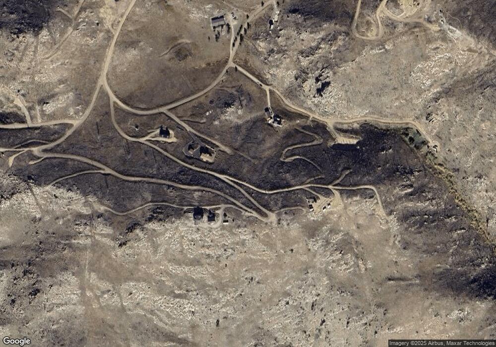
Map
Nearby Homes
- 45 Bull Rock Ct
- 37 Black Mountain Ct
- 151 Black Mountain Ct
- 598 Mount McConnell Dr
- 743 Horse Mountain Dr
- 112 Rabbit Ears Ct
- 232 Red Mountain Ct
- 42 Smokey Mountain Ct
- 38 Carson Peak Ct
- 132 Singing Pines Ct
- 890 Meadow Mountain Dr
- 1222 Meadow Mountain Dr
- 1324 Meadow Mountain Dr
- 1360 Meadow Mountain Dr
- 104 Sheep Mountain Ct
- 443 Meadow Mountain Dr
- 894 Turkey Roost Dr
- 59 Bobcat Mountain Ct
- 17 Bobcat Mountain Ct
- 181 Meadow Mountain Dr
- 156 Mount McConnell Dr
- 236 Mount McConnell Dr
- 77 Milner Mountain Ct
- 156 Milner Mountain Ct
- 113 Black Mountain Ct
- 50 Milner Mtn Ct
- 57 Black Mountain Ct
- 51 Milner Mtn Ct
- 51 Milner Mountain Ct
- 99 Mount McConnell Dr
- 285 Mount McConnell Dr
- 50 Milner Mountain Ct
- 18 Milner Mtn Ct
- 0 Mount Audabon Way Unit 9001464
- 0 Mount Audabon Way Unit 725521
- 61 Mount McConnell Dr
- 212 Black Mountain
- 212 Black Mountain Ct
- 302 Mount Audubon Way
- 141 Mount Audubon Way