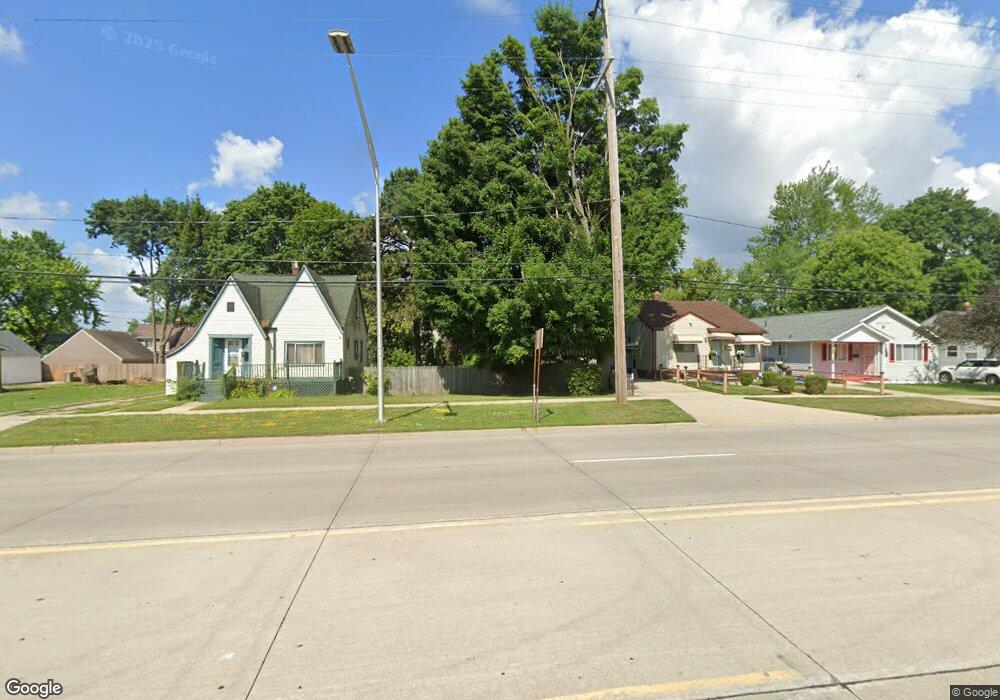
77 Ml King jr Blvd S Pontiac, MI 48342
Estimated Value: $60,000 - $303,000
--
Bed
1
Bath
--
Sq Ft
0.38
Acres
About This Home
This home is located at 77 Ml King jr Blvd S, Pontiac, MI 48342 and is currently estimated at $181,500. 77 Ml King jr Blvd S is a home located in Oakland County with nearby schools including Walt Whitman Elementary School, Pontiac Middle School, and Pontiac High School.
Ownership History
Date
Name
Owned For
Owner Type
Purchase Details
Closed on
Jun 6, 2023
Sold by
Connor Donald Beruard
Bought by
Connor Donald Bernard and Mcdonald Morgan Janel
Current Estimated Value
Purchase Details
Closed on
Mar 28, 2016
Sold by
Connor Donald B and Connor Shirley B
Bought by
Connor Donald B and Connor Donald B
Purchase Details
Closed on
May 16, 2013
Sold by
City Of Pontiac
Bought by
Connor Donald B
Purchase Details
Closed on
Nov 2, 2010
Sold by
Peters Mavis E
Bought by
The City Of Pontiac
Purchase Details
Closed on
Sep 28, 1994
Sold by
Thompson W L
Bought by
Peters Marvis E
Create a Home Valuation Report for This Property
The Home Valuation Report is an in-depth analysis detailing your home's value as well as a comparison with similar homes in the area
Home Values in the Area
Average Home Value in this Area
Purchase History
| Date | Buyer | Sale Price | Title Company |
|---|---|---|---|
| Connor Donald Bernard | -- | None Listed On Document | |
| Connor Donald B | -- | None Available | |
| Connor Donald B | -- | None Available | |
| The City Of Pontiac | $136,000 | Greco | |
| Peters Marvis E | -- | -- |
Source: Public Records
Tax History Compared to Growth
Tax History
| Year | Tax Paid | Tax Assessment Tax Assessment Total Assessment is a certain percentage of the fair market value that is determined by local assessors to be the total taxable value of land and additions on the property. | Land | Improvement |
|---|---|---|---|---|
| 2024 | $448 | $4,520 | $0 | $0 |
| 2023 | $97 | $3,480 | $0 | $0 |
| 2022 | $94 | $3,160 | $0 | $0 |
| 2021 | $91 | $2,110 | $0 | $0 |
| 2020 | $89 | $1,620 | $0 | $0 |
| 2019 | $92 | $1,620 | $0 | $0 |
| 2018 | $92 | $1,620 | $0 | $0 |
| 2017 | $90 | $1,620 | $0 | $0 |
| 2016 | $100 | $1,800 | $0 | $0 |
| 2015 | -- | $1,800 | $0 | $0 |
| 2014 | -- | $1,800 | $0 | $0 |
| 2011 | -- | $0 | $0 | $0 |
Source: Public Records
Map
Nearby Homes
- 28 S Marshall St
- 505 Auburn Ave
- 717 E Pike St
- 46 N Anderson Ave
- 176 S Francis Ave
- 511 E Pike St
- 53 N Midland Dr
- 88 N Astor St
- 33 S Tasmania St
- 291 Michigan Ave
- 18 S Shirley St
- 389 Osmun St
- 328 Whittemore St
- 187 Wall St
- 53 N Roselawn St
- 55 N Roselawn St
- 57 N Roselawn St
- 70 N Roselawn St
- 97 N Roselawn St
- 59 Bellevue St
- 89 Ml King jr Blvd S
- 625 Homestead Dr
- 82 Martin Luther King jr
- 621 Homestead Dr
- 76 Martin Luther King Junior Blvd S
- 76 Martin Luther King
- 76 Martin Luther King jr Blvd S
- 88 Martin Luther King jr Blvd S Unit Bldg-Unit
- 94 Martin Luther King jr Blvd S
- 90 Martin Luther King jr Blvd S
- 88 Martin Luther King jr Blvd S
- 86 Martin Luther King jr Blvd S
- 78 Martin Luther King jr Blvd S
- 84 Martin Luther King jr Blvd S
- 82 Martin Luther King jr Blvd S
- 98 Martin Luther King jr Blvd S
- 78 Martin Luther King jr Blvd S
- 84 Martin Luther King jr
- 86 Martin Luther King jr
- 645 Homestead Dr