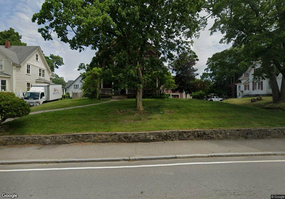
77 Oakland St Unit 79 Mansfield, MA 02048
Estimated Value: $699,000 - $785,000
2
Beds
1
Bath
1,100
Sq Ft
$661/Sq Ft
Est. Value
About This Home
This home is located at 77 Oakland St Unit 79, Mansfield, MA 02048 and is currently estimated at $727,436, approximately $661 per square foot. 77 Oakland St Unit 79 is a home located in Bristol County with nearby schools including Everett W. Robinson Elementary School, Jordan/Jackson Elementary School, and Harold L. Qualters Middle School.
Ownership History
Date
Name
Owned For
Owner Type
Purchase Details
Closed on
May 24, 1988
Sold by
Santoro David P
Bought by
Santoro David P
Current Estimated Value
Home Financials for this Owner
Home Financials are based on the most recent Mortgage that was taken out on this home.
Original Mortgage
$79,000
Interest Rate
10.13%
Mortgage Type
Purchase Money Mortgage
Create a Home Valuation Report for This Property
The Home Valuation Report is an in-depth analysis detailing your home's value as well as a comparison with similar homes in the area
Home Values in the Area
Average Home Value in this Area
Purchase History
| Date | Buyer | Sale Price | Title Company |
|---|---|---|---|
| Santoro David P | $79,000 | -- |
Source: Public Records
Mortgage History
| Date | Status | Borrower | Loan Amount |
|---|---|---|---|
| Closed | Santoro David P | $137,700 | |
| Closed | Santoro David P | $20,000 | |
| Closed | Santoro David P | $79,000 |
Source: Public Records
Tax History Compared to Growth
Tax History
| Year | Tax Paid | Tax Assessment Tax Assessment Total Assessment is a certain percentage of the fair market value that is determined by local assessors to be the total taxable value of land and additions on the property. | Land | Improvement |
|---|---|---|---|---|
| 2025 | $7,674 | $582,700 | $204,200 | $378,500 |
| 2024 | $7,345 | $544,100 | $204,200 | $339,900 |
| 2023 | $7,072 | $501,900 | $204,200 | $297,700 |
| 2022 | $7,156 | $471,700 | $189,000 | $282,700 |
| 2021 | $6,465 | $420,900 | $175,000 | $245,900 |
| 2020 | $6,465 | $420,900 | $175,000 | $245,900 |
| 2019 | $5,677 | $373,000 | $145,900 | $227,100 |
| 2018 | $4,783 | $349,700 | $132,100 | $217,600 |
| 2017 | $4,628 | $308,100 | $128,200 | $179,900 |
| 2016 | $4,318 | $280,200 | $128,600 | $151,600 |
| 2015 | $3,949 | $254,800 | $122,100 | $132,700 |
Source: Public Records
Map
Nearby Homes
- 44 Angell St Unit 44
- 28 Angell St
- 619 N Main St
- 60 King St
- 82 Brook St
- 22 Pleasant St Unit B
- 22 Pleasant St Unit A
- 99 Pleasant St
- 241-243 N Main St
- 76 Samoset Ave
- 150 Rumford Ave Unit 222
- 72 Court St Unit B
- 28 Court St
- 28 Court St Unit 4
- 38 Court St
- 16 East St Unit 2
- 21 East St Unit 1D
- 14 Webb Place Unit 1B
- 356 Central St
- 409 Pratt St
- 77 Oakland St Unit 1
- 79 Oakland St Unit 2
- 79 Oakland St
- 71 Oakland St
- 71 Oakland St Unit 1
- 71 Oakland St Unit 2
- 85 Oakland St
- 70 Oakland St Unit 1
- 70 Oakland St Unit A
- 70 Oakland St Unit B
- 70 Oakland St
- 11 Shields St
- 66 Charles St
- 61 Oakland St
- 61 Oakland St Unit 1
- 72 Charles St Unit 2
- 70-72 Charles St
- 72 Charles St Unit B
- 60 Oakland St
- 70 Charles St Unit 72