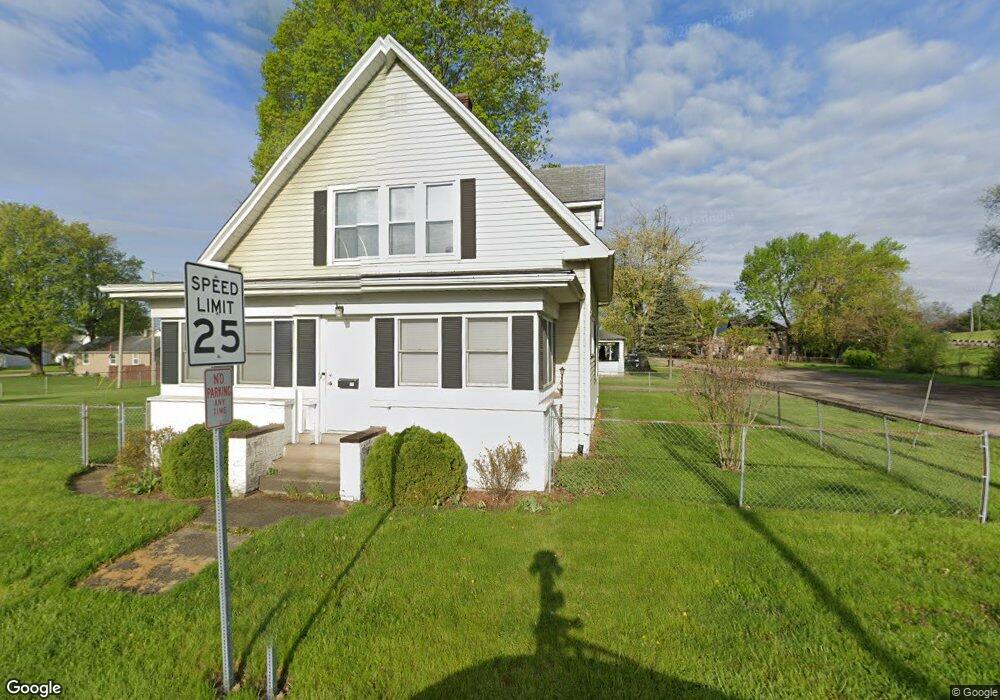
77 Obannon Ave Newark, OH 43055
Estimated Value: $180,519 - $217,000
3
Beds
2
Baths
1,561
Sq Ft
$127/Sq Ft
Est. Value
About This Home
This home is located at 77 Obannon Ave, Newark, OH 43055 and is currently estimated at $198,130, approximately $126 per square foot. 77 Obannon Ave is a home located in Licking County with nearby schools including Carson Elementary School, Heritage Middle School, and Newark High School.
Ownership History
Date
Name
Owned For
Owner Type
Purchase Details
Closed on
Sep 17, 2014
Sold by
Butler William R
Bought by
Butler Dedria A
Current Estimated Value
Purchase Details
Closed on
Jul 5, 1994
Sold by
Ormiston Mark A
Bought by
Butler William R
Home Financials for this Owner
Home Financials are based on the most recent Mortgage that was taken out on this home.
Original Mortgage
$65,849
Interest Rate
8.66%
Mortgage Type
FHA
Create a Home Valuation Report for This Property
The Home Valuation Report is an in-depth analysis detailing your home's value as well as a comparison with similar homes in the area
Home Values in the Area
Average Home Value in this Area
Purchase History
| Date | Buyer | Sale Price | Title Company |
|---|---|---|---|
| Butler Dedria A | -- | None Available | |
| Butler William R | $65,900 | -- |
Source: Public Records
Mortgage History
| Date | Status | Borrower | Loan Amount |
|---|---|---|---|
| Previous Owner | Butler William R | $65,849 |
Source: Public Records
Tax History Compared to Growth
Tax History
| Year | Tax Paid | Tax Assessment Tax Assessment Total Assessment is a certain percentage of the fair market value that is determined by local assessors to be the total taxable value of land and additions on the property. | Land | Improvement |
|---|---|---|---|---|
| 2024 | $1,619 | $45,260 | $5,570 | $39,690 |
| 2023 | $1,614 | $45,260 | $5,570 | $39,690 |
| 2022 | $1,134 | $28,210 | $3,360 | $24,850 |
| 2021 | $1,189 | $28,210 | $3,360 | $24,850 |
| 2020 | $1,216 | $28,210 | $3,360 | $24,850 |
| 2019 | $1,016 | $22,680 | $2,800 | $19,880 |
| 2018 | $1,017 | $0 | $0 | $0 |
| 2017 | $1,117 | $0 | $0 | $0 |
| 2016 | $1,240 | $0 | $0 | $0 |
| 2015 | $1,267 | $0 | $0 | $0 |
| 2014 | $1,622 | $0 | $0 | $0 |
| 2013 | $1,201 | $0 | $0 | $0 |
Source: Public Records
Map
Nearby Homes
- 688 Russell Ave
- 952 Emerson St
- 87 Liberty Ave
- 934 Garfield Ave
- 81 Madison Ave
- 554 Garfield Ave
- 240 N Wing St
- 76 Oakwood Ave
- 491 Garfield Ave
- 167 Essex St
- 430 E Main St
- 424 Ridge Ave
- 483 Allston Ave
- 452 Walnut Ln
- 506 Lexington Ave
- 51 Mill St
- 460 Allston Ave
- 160 N Cedar St
- 232 Rosehill Ave
- 870 Jones St
- 787 Russell Ave
- 705 Woods Edge Ln
- 711 Woods Edge Ln
- 715 Woods Edge Ln
- 777 Russell Ave
- 780 Sherman Ave
- 763 Russell Ave
- 768 Sherman Ave
- 756 Russell Ave
- 799 Sherman Ave
- 789 Sherman Ave
- 764 Russell Ave
- 759 Russell Ave
- 779 Sherman Ave
- 758 Sherman Ave
- 771 Sherman Ave
- 755 Russell Ave
- 754 Russell Ave
- 754/756 Russell Ave
- 754-756 Russell Ave