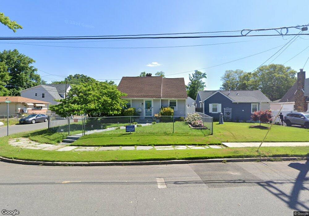
77 Ocean Blvd Keyport, NJ 07735
Estimated Value: $474,000 - $528,000
4
Beds
3
Baths
956
Sq Ft
$521/Sq Ft
Est. Value
About This Home
This home is located at 77 Ocean Blvd, Keyport, NJ 07735 and is currently estimated at $498,446, approximately $521 per square foot. 77 Ocean Blvd is a home located in Middlesex County with nearby schools including Old Bridge High School, Icob Academy, and St. Joseph Elementary School.
Ownership History
Date
Name
Owned For
Owner Type
Purchase Details
Closed on
Jun 29, 2020
Sold by
Ghs Properties Management Llc
Bought by
Xheraj Kenny
Current Estimated Value
Home Financials for this Owner
Home Financials are based on the most recent Mortgage that was taken out on this home.
Original Mortgage
$332,859
Outstanding Balance
$295,157
Interest Rate
3.1%
Mortgage Type
FHA
Estimated Equity
$203,289
Purchase Details
Closed on
Nov 16, 2019
Sold by
Medwick Janice and Sedlak John
Bought by
Ghs Properties Management Llc
Create a Home Valuation Report for This Property
The Home Valuation Report is an in-depth analysis detailing your home's value as well as a comparison with similar homes in the area
Home Values in the Area
Average Home Value in this Area
Purchase History
| Date | Buyer | Sale Price | Title Company |
|---|---|---|---|
| Xheraj Kenny | $339,000 | Foundation Title Llc | |
| Ghs Properties Management Llc | $164,000 | Commonwesalth Ttl Monmouth A |
Source: Public Records
Mortgage History
| Date | Status | Borrower | Loan Amount |
|---|---|---|---|
| Open | Xheraj Kenny | $332,859 |
Source: Public Records
Tax History Compared to Growth
Tax History
| Year | Tax Paid | Tax Assessment Tax Assessment Total Assessment is a certain percentage of the fair market value that is determined by local assessors to be the total taxable value of land and additions on the property. | Land | Improvement |
|---|---|---|---|---|
| 2025 | $7,379 | $128,800 | $45,200 | $83,600 |
| 2024 | $7,076 | $128,800 | $45,200 | $83,600 |
| 2023 | $7,076 | $128,800 | $45,200 | $83,600 |
| 2022 | $6,886 | $128,800 | $45,200 | $83,600 |
| 2021 | $4,696 | $128,800 | $45,200 | $83,600 |
| 2020 | $5,277 | $101,800 | $45,200 | $56,600 |
| 2019 | $5,193 | $101,800 | $45,200 | $56,600 |
| 2018 | $4,885 | $101,800 | $45,200 | $56,600 |
| 2017 | $4,725 | $101,800 | $45,200 | $56,600 |
| 2016 | $4,876 | $101,800 | $45,200 | $56,600 |
| 2015 | $4,541 | $101,800 | $45,200 | $56,600 |
| 2014 | $4,483 | $101,800 | $45,200 | $56,600 |
Source: Public Records
Map
Nearby Homes
- 125 Raritan Blvd
- 103 Furman Blvd
- 270 Greenwood Dr
- 106 Boulevard W
- 363 Ocean Blvd
- 136 Hilltop Blvd
- 107 Boulevard W
- 42 Boulevard E
- 65 Boulevard E
- 112 Lcpl Phillip E Frank Way
- 38 Lcpl Phillip E Frank Way Unit 38
- 452 Raritan Blvd
- 22 Stemler Dr
- 281 Prospect Ave
- 940 Grove Ave
- 250 Brookside Ave
- 615 Greenwood Ave
- 21 Stemler Dr
- 146 Orchard Ave
- 235 Garfield Ave