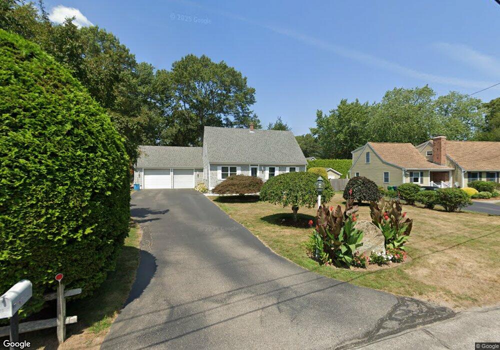
77 Paul Ave Wakefield, RI 02879
Estimated Value: $602,000 - $705,000
3
Beds
2
Baths
1,498
Sq Ft
$434/Sq Ft
Est. Value
About This Home
This home is located at 77 Paul Ave, Wakefield, RI 02879 and is currently estimated at $650,561, approximately $434 per square foot. 77 Paul Ave is a home located in Washington County with nearby schools including South Kingstown High School, The Compass School, and South Shore School.
Ownership History
Date
Name
Owned For
Owner Type
Purchase Details
Closed on
Oct 5, 2021
Sold by
Owens Andrew F and Owens Toni M
Bought by
Owens Family Ret
Current Estimated Value
Purchase Details
Closed on
Jan 13, 1997
Sold by
Gardiner Edward R
Bought by
Owens Andrew F and Owens Toni
Home Financials for this Owner
Home Financials are based on the most recent Mortgage that was taken out on this home.
Original Mortgage
$90,000
Interest Rate
7.46%
Create a Home Valuation Report for This Property
The Home Valuation Report is an in-depth analysis detailing your home's value as well as a comparison with similar homes in the area
Home Values in the Area
Average Home Value in this Area
Purchase History
| Date | Buyer | Sale Price | Title Company |
|---|---|---|---|
| Owens Family Ret | -- | None Available | |
| Owens Andrew F | $130,000 | -- |
Source: Public Records
Mortgage History
| Date | Status | Borrower | Loan Amount |
|---|---|---|---|
| Previous Owner | Owens Andrew F | $100,000 | |
| Previous Owner | Owens Andrew F | $90,000 |
Source: Public Records
Tax History
| Year | Tax Paid | Tax Assessment Tax Assessment Total Assessment is a certain percentage of the fair market value that is determined by local assessors to be the total taxable value of land and additions on the property. | Land | Improvement |
|---|---|---|---|---|
| 2025 | $4,485 | $501,700 | $168,700 | $333,000 |
| 2024 | $4,466 | $404,200 | $129,900 | $274,300 |
| 2023 | $4,466 | $404,200 | $129,900 | $274,300 |
| 2022 | $4,426 | $404,200 | $129,900 | $274,300 |
| 2021 | $4,617 | $319,500 | $112,900 | $206,600 |
| 2020 | $4,617 | $319,500 | $112,900 | $206,600 |
| 2019 | $4,617 | $319,500 | $112,900 | $206,600 |
| 2018 | $4,284 | $273,200 | $105,000 | $168,200 |
| 2017 | $4,183 | $273,200 | $105,000 | $168,200 |
| 2016 | $4,123 | $273,200 | $105,000 | $168,200 |
| 2015 | $4,161 | $268,100 | $102,600 | $165,500 |
| 2014 | $4,150 | $268,100 | $102,600 | $165,500 |
Source: Public Records
Map
Nearby Homes
- 56 Vespia Ln
- 44 Vespia Ln
- 1808 Kingstown Rd
- 1255 South Rd
- 0 South Rd Unit 1400966
- 79 Linden Dr
- 28 N Pasture Ln
- 507 Curtis Corner Rd
- 8 Lookout Ln
- 5 Lookout Ln
- 1724 South Rd
- 24 Ridge Crest Ln
- 260 Sweet Allen Farm Rd Unit 3
- 221 Kings Ridge Rd
- 81 Old Rd N
- 128 Rodman St
- 3 Larkin St
- 95 S Woods Dr
- 39 Secluded Dr
- 48 Stone Bridge Dr
Your Personal Tour Guide
Ask me questions while you tour the home.