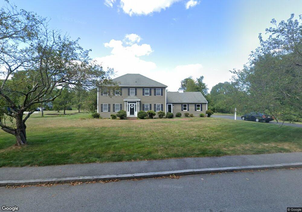
77 Paul Rd Hanover, MA 02339
Estimated Value: $1,012,668 - $1,411,000
4
Beds
3
Baths
2,760
Sq Ft
$426/Sq Ft
Est. Value
About This Home
This home is located at 77 Paul Rd, Hanover, MA 02339 and is currently estimated at $1,175,917, approximately $426 per square foot. 77 Paul Rd is a home located in Plymouth County with nearby schools including Hanover High School, South Shore Charter Public School, and Norwell KinderCare.
Ownership History
Date
Name
Owned For
Owner Type
Purchase Details
Closed on
Jul 31, 1997
Sold by
Durant Susan W and Durant Robert H
Bought by
Meehan William J and Meehan Janet
Current Estimated Value
Purchase Details
Closed on
May 15, 1996
Sold by
Frisina Mark S and Frisina Anne M
Bought by
Durant Robert H and Durant Susan W
Create a Home Valuation Report for This Property
The Home Valuation Report is an in-depth analysis detailing your home's value as well as a comparison with similar homes in the area
Home Values in the Area
Average Home Value in this Area
Purchase History
| Date | Buyer | Sale Price | Title Company |
|---|---|---|---|
| Meehan William J | $305,000 | -- | |
| Meehan William J | $305,000 | -- | |
| Durant Robert H | $275,000 | -- | |
| Durant Robert H | $275,000 | -- |
Source: Public Records
Mortgage History
| Date | Status | Borrower | Loan Amount |
|---|---|---|---|
| Open | Durant Robert H | $300,000 | |
| Closed | Durant Robert H | $225,000 |
Source: Public Records
Tax History
| Year | Tax Paid | Tax Assessment Tax Assessment Total Assessment is a certain percentage of the fair market value that is determined by local assessors to be the total taxable value of land and additions on the property. | Land | Improvement |
|---|---|---|---|---|
| 2025 | $10,685 | $865,200 | $323,900 | $541,300 |
| 2024 | $10,431 | $812,400 | $323,900 | $488,500 |
| 2023 | $10,208 | $756,700 | $294,400 | $462,300 |
| 2022 | $10,155 | $665,900 | $257,600 | $408,300 |
| 2021 | $9,968 | $610,400 | $234,200 | $376,200 |
| 2020 | $9,682 | $593,600 | $234,200 | $359,400 |
| 2019 | $9,537 | $581,200 | $245,300 | $335,900 |
| 2018 | $6,783 | $569,500 | $256,500 | $313,000 |
| 2017 | $9,375 | $567,500 | $252,900 | $314,600 |
| 2016 | $9,061 | $537,400 | $230,000 | $307,400 |
| 2015 | $8,679 | $537,400 | $230,000 | $307,400 |
Source: Public Records
Map
Nearby Homes
- 44 Stone Meadow Ln
- 47 Stone Meadow Ln
- 776 Main St
- 73 Shingle Mill Ln
- 46 Brookwood Rd
- 535 Webster St
- 36 Bayberry Ln
- 506 Main St
- 18 Winterberry Ln
- 53 Chestnut St
- 50 Village Ln
- 49 Washington Park Dr
- 62 Larchmont Ln
- 5 Blueberry Ct
- 8 Blueberry Ct
- 7 Assinippi Ave Unit 205
- 7 Assinippi Ave Unit 306
- 206-208 Hinghm St
- 436 E Water St
- 823 Market St
- 132 Setterland Farm Rd
- 130 Setterland Farm Rd
- 104 Setterland Farm Rd
- 65 Paul Rd
- 76 Paul Rd
- 78 Paul Rd
- 113 Setterland Farm Rd
- 94 Setterland Farm Rd
- 72 Paul Rd
- 95 Setterland Farm Rd
- 121 Setterland Farm Rd
- 29 Stone Meadow Ln
- 80 Paul Rd
- 49 Paul Rd
- 49 Paul Rd Unit 1
- 131 Setterland Farm Rd
- 64 Paul Rd
- 80 Setterland Farm Rd
- 83 Setterland Farm Rd
- 33 Stone Meadow Ln
Your Personal Tour Guide
Ask me questions while you tour the home.