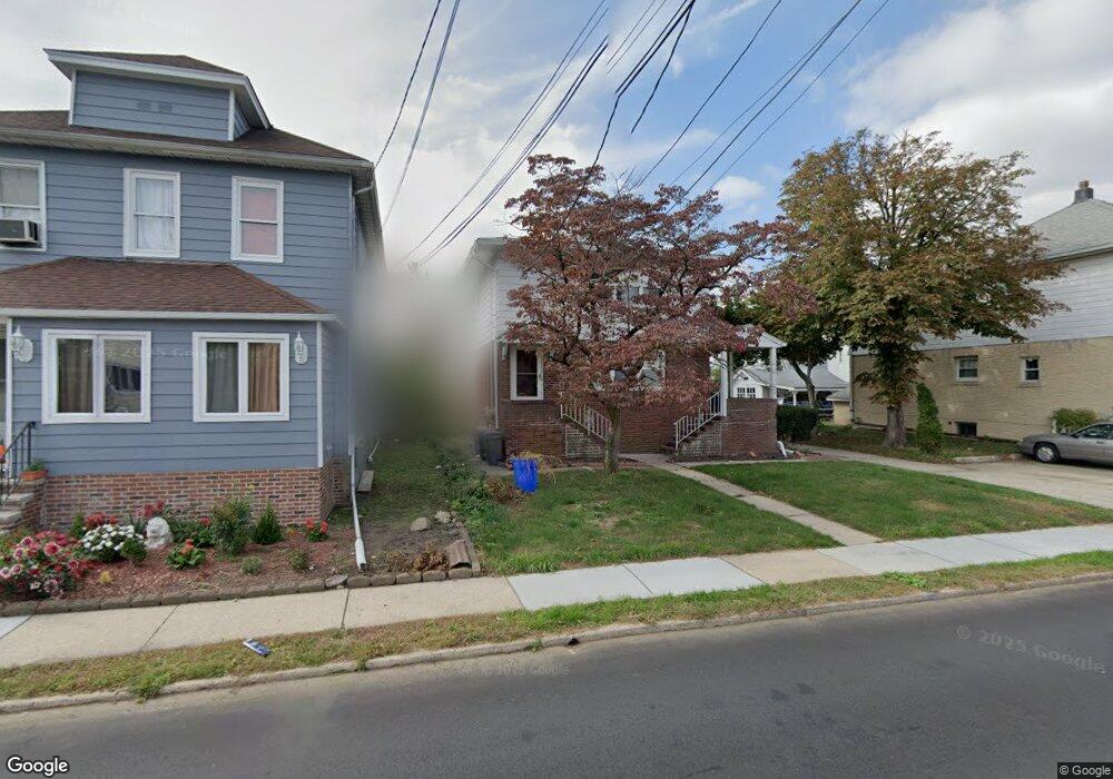
77 Phillips Ave South Hackensack, NJ 07606
Estimated Value: $829,674 - $909,000
4
Beds
2
Baths
2,962
Sq Ft
$296/Sq Ft
Est. Value
About This Home
This home is located at 77 Phillips Ave, South Hackensack, NJ 07606 and is currently estimated at $875,419, approximately $295 per square foot. 77 Phillips Ave is a home located in Bergen County with nearby schools including Memorial Elementary School and George Washington School.
Ownership History
Date
Name
Owned For
Owner Type
Purchase Details
Closed on
Apr 12, 2020
Sold by
Smolensky Czeslawa V
Bought by
Linares Jose M
Current Estimated Value
Home Financials for this Owner
Home Financials are based on the most recent Mortgage that was taken out on this home.
Original Mortgage
$550,976
Outstanding Balance
$486,234
Interest Rate
3.2%
Mortgage Type
FHA
Estimated Equity
$389,185
Create a Home Valuation Report for This Property
The Home Valuation Report is an in-depth analysis detailing your home's value as well as a comparison with similar homes in the area
Home Values in the Area
Average Home Value in this Area
Purchase History
| Date | Buyer | Sale Price | Title Company |
|---|---|---|---|
| Linares Jose M | $570,000 | Foundation Title | |
| Linares Jose Manuel | $570,000 | First American Title Ins Co |
Source: Public Records
Mortgage History
| Date | Status | Borrower | Loan Amount |
|---|---|---|---|
| Open | Linares Jose Manuel | $550,976 | |
| Closed | Linares Jose M | $550,976 |
Source: Public Records
Tax History Compared to Growth
Tax History
| Year | Tax Paid | Tax Assessment Tax Assessment Total Assessment is a certain percentage of the fair market value that is determined by local assessors to be the total taxable value of land and additions on the property. | Land | Improvement |
|---|---|---|---|---|
| 2025 | $12,673 | $691,300 | $187,600 | $503,700 |
| 2024 | $12,211 | $646,900 | $175,800 | $471,100 |
| 2023 | $12,086 | $573,000 | $164,400 | $408,600 |
| 2022 | $12,086 | $548,100 | $156,800 | $391,300 |
| 2021 | $11,869 | $470,600 | $141,300 | $329,300 |
| 2020 | $10,972 | $408,800 | $138,000 | $270,800 |
| 2019 | $10,998 | $402,400 | $136,100 | $266,300 |
| 2018 | $11,025 | $399,600 | $134,200 | $265,400 |
| 2017 | $10,840 | $390,200 | $129,400 | $260,800 |
| 2016 | $10,594 | $383,300 | $124,700 | $258,600 |
| 2015 | $10,075 | $376,000 | $120,900 | $255,100 |
| 2014 | $9,902 | $374,900 | $118,800 | $256,100 |
Source: Public Records
Map
Nearby Homes
- 80 Phillips Ave
- 352 Chestnut Ave
- 418 Taylor Ave
- 1 Rossi Ct
- 9 Vreeland Ave Unit 3A
- 337 Hudson St
- 307 Washington Ave
- 38 Moonachie Rd Unit 315
- 12 Pulaski Place
- 12 Pulaski Place Unit A
- 541 Moonachie Rd
- 85 Grove St
- 222 Washington Ave
- 453 Liberty St Unit 14
- 460 Liberty St Unit 460 B Unit 308
- 13A Wilson St
- 17 Wilson St
- 462 Liberty St Unit 462A Unit 101
- 70 Pink St
- 468a Liberty St Unit 101
- 77 Phillips Ave Unit 77
- 77 Phillips Ave Unit 1
- 73 Phillips Ave
- 73 Phillips Ave Unit 2
- 81 Phillips Ave
- 83 Phillips Ave
- 68 Dyer Ave
- 68 Dyer Ave Unit 2nd Floor
- 62 Dyer Ave
- 123 Vreeland Ave
- 125 Vreeland Ave
- 72 Dyer Ave Unit 2
- 72 Dyer Ave
- 87 Phillips Ave
- 76 Phillips Ave
- 129 Vreeland Ave
- 84 Phillips Ave
- 72 Phillips Ave
- 72 Phillips Ave Unit 1
- 54 Dyer Ave Unit 56