77 Port Tack Double Springs, AL 35553
Estimated Value: $800,000 - $1,079,000
--
Bed
3
Baths
3,731
Sq Ft
$255/Sq Ft
Est. Value
About This Home
This home is located at 77 Port Tack, Double Springs, AL 35553 and is currently estimated at $951,058, approximately $254 per square foot. 77 Port Tack is a home located in Winston County with nearby schools including Double Springs Elementary School, Double Springs Middle School, and Winston County High School.
Ownership History
Date
Name
Owned For
Owner Type
Purchase Details
Closed on
Aug 5, 2020
Sold by
Bole Lorraine W and Bole Thomas
Bought by
Susess Danielle M
Current Estimated Value
Home Financials for this Owner
Home Financials are based on the most recent Mortgage that was taken out on this home.
Original Mortgage
$497,500
Outstanding Balance
$453,723
Interest Rate
3.1%
Mortgage Type
New Conventional
Purchase Details
Closed on
Apr 8, 2019
Sold by
Bole Lorraine W and Manley Lorraine W
Bought by
Bole Lorraine W and Bole Thomas
Create a Home Valuation Report for This Property
The Home Valuation Report is an in-depth analysis detailing your home's value as well as a comparison with similar homes in the area
Home Values in the Area
Average Home Value in this Area
Purchase History
| Date | Buyer | Sale Price | Title Company |
|---|---|---|---|
| Susess Danielle M | $567,500 | None Available | |
| Bole Lorraine W | -- | None Available |
Source: Public Records
Mortgage History
| Date | Status | Borrower | Loan Amount |
|---|---|---|---|
| Open | Suess Danielle M | $160,000 | |
| Open | Susess Danielle M | $497,500 | |
| Previous Owner | Bole Thomas C | $60,000 | |
| Previous Owner | Bole Lorraine | $410,900 | |
| Previous Owner | Manley Lorraine | $410,900 | |
| Previous Owner | Manley Lorraine W | $417,000 | |
| Previous Owner | Manley John W | $417,000 | |
| Previous Owner | Manley John W | $143,000 | |
| Previous Owner | Manley John W | $593,750 |
Source: Public Records
Tax History Compared to Growth
Tax History
| Year | Tax Paid | Tax Assessment Tax Assessment Total Assessment is a certain percentage of the fair market value that is determined by local assessors to be the total taxable value of land and additions on the property. | Land | Improvement |
|---|---|---|---|---|
| 2024 | $2,420 | $87,900 | $0 | $0 |
| 2023 | $2,420 | $80,640 | $0 | $0 |
| 2022 | $1,904 | $69,460 | $0 | $0 |
| 2021 | $1,679 | $61,440 | $0 | $0 |
| 2020 | $1,431 | $105,120 | $0 | $0 |
| 2019 | $1,511 | $106,740 | $0 | $0 |
| 2018 | $1,381 | $50,800 | $0 | $0 |
| 2017 | $1,280 | $507,940 | $0 | $0 |
| 2016 | $1,280 | $507,940 | $0 | $0 |
| 2015 | $1,285 | $509,940 | $0 | $0 |
| 2014 | $1,308 | $518,920 | $0 | $0 |
| 2013 | -- | $528,020 | $0 | $0 |
Source: Public Records
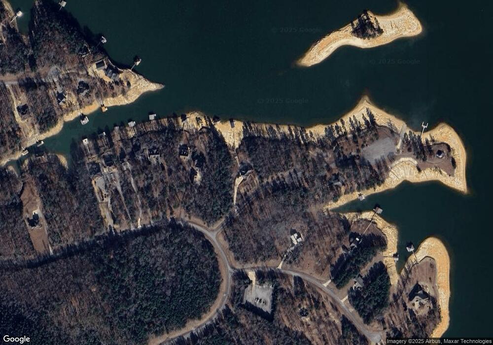
Map
Nearby Homes
- LOT 51 Stoney Point
- 134 Trail Path Rd
- LOT 31 Stoney Point Rd
- 0 Stoney Point Rd S Unit 25-1810
- 221 Stoney Point Rd S Unit 221/122
- Lot 34 Stoney Point Landing Unit 34
- 34 Stoney Point Landing
- 1167 County Road 3945
- LOT 188 N Stoney Pointe Rd
- 86 Sunset Dr
- LOT 187 N Stoney Pointe Rd
- 667 County Road 4240
- 0 Lots 218 and 219 Stoney Point
- LOT 1 Stoney Point Rd N
- 60 Sunset Dr
- 1851 Stoney Point Rd S
- 102 County Road 3087
- 131 County Road 292
- 2615 County Road 16
- 1031 County Road 3081
- 77 Port Tack
- 77 Port Tack
- 77 Port Tack
- 77 Port Tack
- 77 Port Tack
- 132 Port Tact
- 585 Stoney Point Rd S
- 579 Stoney Point Rd S
- 61 Starboard Tack
- 61 Starboard Tack
- 61 Starboard Tack
- 61 Starboard Tack
- 561 Stoney Point Rd S
- 495 Stoney Point Rd S
- 0 Lot 60 Stoney Point Landing Rd
- 169 Stoney Point Rd S
- 411 Stoney Point Rd S
- LOT 61 Starboard Tact
- lot 213 Stoney Point Landing Unit Lot 213
- lot 213 Stoney Point Landing Unit 2