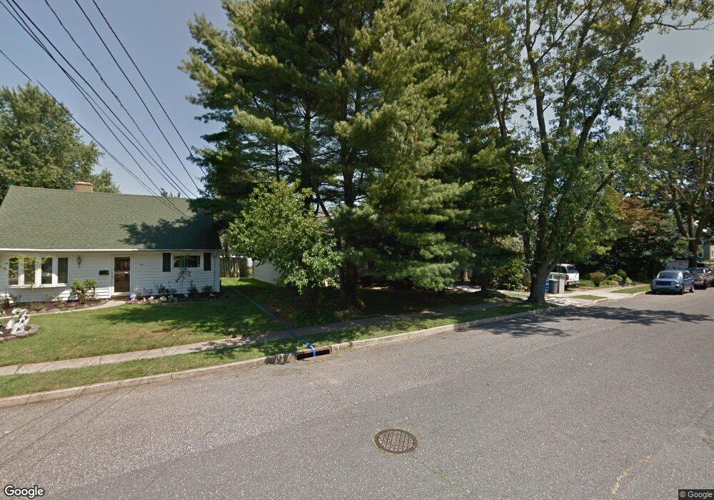
77 Roosevelt Cir W Red Bank, NJ 07701
New Monmouth NeighborhoodEstimated Value: $644,570 - $696,000
3
Beds
1
Bath
1,588
Sq Ft
$420/Sq Ft
Est. Value
About This Home
This home is located at 77 Roosevelt Cir W, Red Bank, NJ 07701 and is currently estimated at $666,643, approximately $419 per square foot. 77 Roosevelt Cir W is a home located in Monmouth County with nearby schools including River Plaza Elementary School, Thompson Middle School, and Middletown - South High School.
Ownership History
Date
Name
Owned For
Owner Type
Purchase Details
Closed on
Jan 17, 2007
Sold by
Noonan Maureen
Bought by
Leipzig Jason and Leipzig Elizabeth
Current Estimated Value
Home Financials for this Owner
Home Financials are based on the most recent Mortgage that was taken out on this home.
Original Mortgage
$288,000
Outstanding Balance
$171,533
Interest Rate
6.15%
Mortgage Type
New Conventional
Estimated Equity
$495,110
Purchase Details
Closed on
Nov 15, 1994
Sold by
Demar Darla
Bought by
Nicolosi Maureen
Create a Home Valuation Report for This Property
The Home Valuation Report is an in-depth analysis detailing your home's value as well as a comparison with similar homes in the area
Home Values in the Area
Average Home Value in this Area
Purchase History
| Date | Buyer | Sale Price | Title Company |
|---|---|---|---|
| Leipzig Jason | $360,000 | -- | |
| Nicolosi Maureen | $152,000 | -- |
Source: Public Records
Mortgage History
| Date | Status | Borrower | Loan Amount |
|---|---|---|---|
| Open | Leipzig Jason | $288,000 |
Source: Public Records
Tax History Compared to Growth
Tax History
| Year | Tax Paid | Tax Assessment Tax Assessment Total Assessment is a certain percentage of the fair market value that is determined by local assessors to be the total taxable value of land and additions on the property. | Land | Improvement |
|---|---|---|---|---|
| 2025 | $8,784 | $596,300 | $423,100 | $173,200 |
| 2024 | $8,429 | $534,000 | $364,000 | $170,000 |
| 2023 | $8,429 | $485,000 | $356,500 | $128,500 |
| 2022 | $6,974 | $408,000 | $285,700 | $122,300 |
| 2021 | $6,974 | $335,300 | $226,500 | $108,800 |
| 2020 | $6,506 | $304,300 | $198,000 | $106,300 |
| 2019 | $6,319 | $299,200 | $198,000 | $101,200 |
| 2018 | $6,380 | $294,400 | $198,000 | $96,400 |
| 2017 | $6,236 | $284,900 | $184,800 | $100,100 |
| 2016 | $6,018 | $282,400 | $184,800 | $97,600 |
| 2015 | $6,230 | $282,300 | $184,800 | $97,500 |
| 2014 | $5,746 | $253,900 | $164,800 | $89,100 |
Source: Public Records
Map
Nearby Homes
- 43 Roosevelt Cir W
- 37 Delaware Ave
- 8 Cherry St
- 79 Lake Shore Dr
- 833 Lincoln St
- 398 Conover Place
- 44 Monroe St
- 28 Todd Dr
- 139 Statesir Place
- 115 Hill Terrace
- 11 Manchester Ct
- 165 Lexington Ct
- 839 Arthur Dr
- 143 Lexington Ct
- 9 Wesleyan St
- 39 Market St
- 46 Southall Ln
- 7 Lexington Ct
- 130 Bodman Place Unit 15
- 51 Blossom Cove Rd
- 83 Roosevelt Cir W
- 73 Roosevelt Cir W
- 94 Roosevelt Cir E
- 67 Roosevelt Cir W
- 87 Roosevelt Cir W
- 88 Roosevelt Cir E
- 98 Roosevelt Cir E
- 70 Roosevelt Cir W
- 95 Roosevelt Cir W
- 84 Roosevelt Cir E
- 106 Roosevelt Cir E
- 81 Cooper Blvd
- 112 Roosevelt Cir E
- 5 Brook St
- 71 Cooper Blvd
- 44 Roosevelt Cir W
- 10 Brook St
- 7 Brook St
- 95 Cooper Blvd
- 11 Brook St