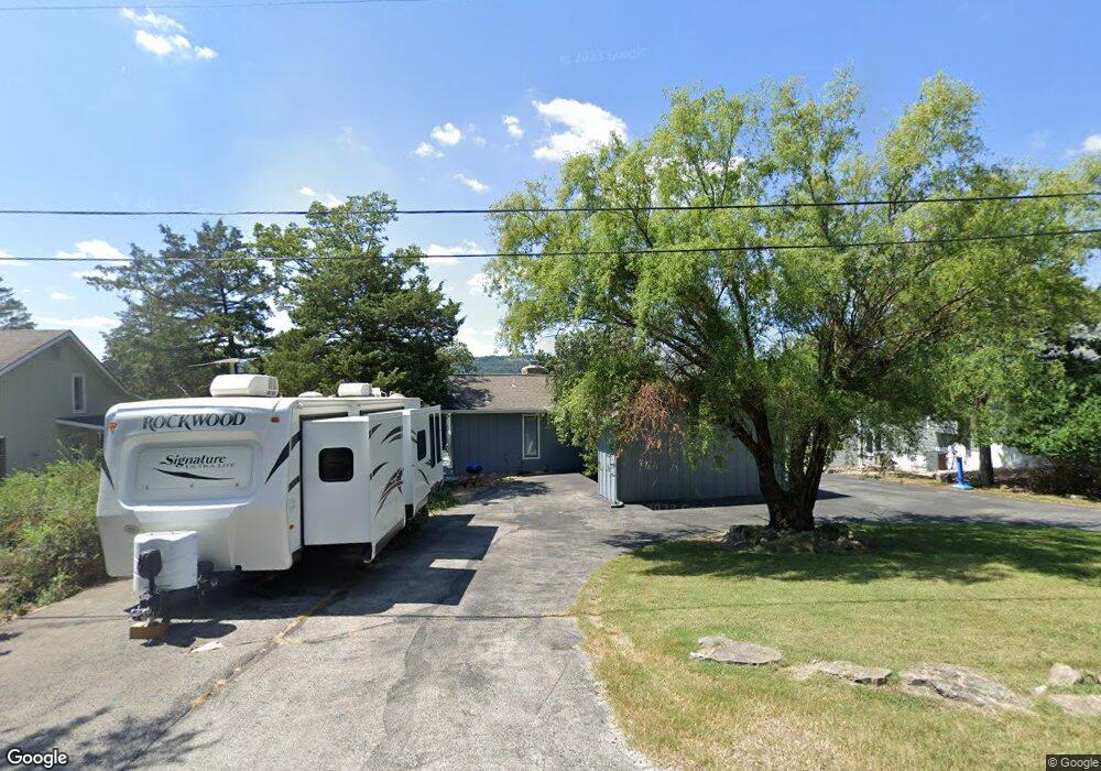
77 S Caps Cove Ln Branson, MO 65616
Estimated Value: $437,163 - $666,000
3
Beds
2
Baths
2,600
Sq Ft
$219/Sq Ft
Est. Value
About This Home
This home is located at 77 S Caps Cove Ln, Branson, MO 65616 and is currently estimated at $570,291, approximately $219 per square foot. 77 S Caps Cove Ln is a home located in Stone County with nearby schools including Reeds Spring Primary School, Reeds Spring Elementary School, and Reeds Spring Middle School.
Ownership History
Date
Name
Owned For
Owner Type
Purchase Details
Closed on
Jun 24, 2009
Sold by
Scobee Bob R and Scobee Cynthia
Bought by
Caye Denis and Caye Valerie
Current Estimated Value
Home Financials for this Owner
Home Financials are based on the most recent Mortgage that was taken out on this home.
Original Mortgage
$232,000
Outstanding Balance
$147,055
Interest Rate
4.83%
Mortgage Type
New Conventional
Estimated Equity
$423,236
Create a Home Valuation Report for This Property
The Home Valuation Report is an in-depth analysis detailing your home's value as well as a comparison with similar homes in the area
Home Values in the Area
Average Home Value in this Area
Purchase History
| Date | Buyer | Sale Price | Title Company |
|---|---|---|---|
| Caye Denis | -- | -- |
Source: Public Records
Mortgage History
| Date | Status | Borrower | Loan Amount |
|---|---|---|---|
| Open | Caye Denis | $232,000 |
Source: Public Records
Tax History Compared to Growth
Tax History
| Year | Tax Paid | Tax Assessment Tax Assessment Total Assessment is a certain percentage of the fair market value that is determined by local assessors to be the total taxable value of land and additions on the property. | Land | Improvement |
|---|---|---|---|---|
| 2024 | $993 | $20,310 | -- | -- |
| 2023 | $993 | $20,310 | $0 | $0 |
| 2022 | $988 | $20,310 | $0 | $0 |
| 2021 | $1,000 | $20,310 | $0 | $0 |
| 2020 | $874 | $20,310 | $0 | $0 |
| 2019 | $876 | $20,310 | $0 | $0 |
| 2018 | $874 | $20,310 | $0 | $0 |
| 2017 | $837 | $19,400 | $0 | $0 |
| 2016 | $814 | $19,400 | $0 | $0 |
| 2015 | $815 | $19,400 | $0 | $0 |
| 2014 | $801 | $19,400 | $0 | $0 |
| 2012 | -- | $19,400 | $0 | $0 |
Source: Public Records
Map
Nearby Homes
- 410 Tablerock Cir
- 956 Tablerock Cir
- 60 Timber Oaks Trail Unit C
- 49 Timber Trace Ln
- 48 Timber Trace Ln
- 26 Cave Ln Unit Cabin 10
- 70 Dogwood Park Trail Unit 1510
- 168 Jax Trail Unit 49
- 164 Dogwood Park Trail Unit A & B
- 172 Dogwood Park Trail Unit 1110
- 10 View Tablerock Landing
- Lot 47 Dogwood Valley Estates
- 95 Leaning Tree Cir
- 638 Double Day Loop
- 429 Chinquapin Cir Unit 608
- 429 Chinquapin Cir Unit 504
- 429 Chinquapin Cir Unit 607
- 24 Village Trail Unit 7
- 24 Village Trail Unit 13-2
- 24 Village Trail Unit 2
- 57 S South Caps Cove Ln
- 93 S Caps Cove Ln
- 45 S Caps Cove Ln
- 117 S Caps Cove Ln
- 408 Tablerock Cir
- 416 Tablerock Cir
- 396 Tablerock Cir
- 25 S Caps Cove Ln
- 000 Table Rock
- Tbd Table Rock
- 0 Table Rock Unit 30334675
- 0 Table Rock Unit 30334674
- 0 Table Rock Unit 30337630
- 0 Table Rock Unit 30339979
- 0 Table Rock Unit 30339980
- 0 Table Rock Unit 30339978
- 0 Table Rock Unit 30345781
- 0 Table Rock Unit 30345780
- 0 Table Rock Unit 30345779
- 0 Table Rock Unit 30348071