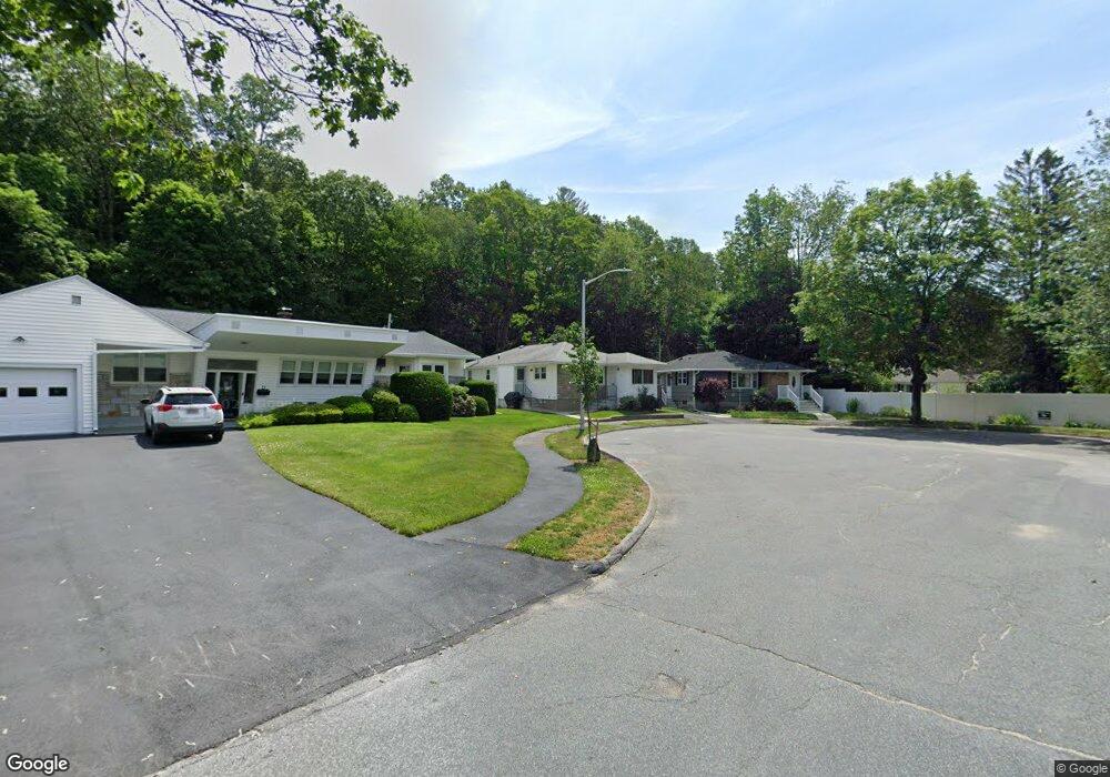
77 S Flagg St Worcester, MA 01602
Newton Square NeighborhoodEstimated Value: $389,250 - $410,000
3
Beds
2
Baths
1,100
Sq Ft
$363/Sq Ft
Est. Value
About This Home
This home is located at 77 S Flagg St, Worcester, MA 01602 and is currently estimated at $399,813, approximately $363 per square foot. 77 S Flagg St is a home located in Worcester County with nearby schools including Chandler Magnet, Jacob Hiatt Magnet School, and Midland Street.
Create a Home Valuation Report for This Property
The Home Valuation Report is an in-depth analysis detailing your home's value as well as a comparison with similar homes in the area
Home Values in the Area
Average Home Value in this Area
Tax History
| Year | Tax Paid | Tax Assessment Tax Assessment Total Assessment is a certain percentage of the fair market value that is determined by local assessors to be the total taxable value of land and additions on the property. | Land | Improvement |
|---|---|---|---|---|
| 2025 | $4,125 | $312,700 | $84,900 | $227,800 |
| 2024 | $4,019 | $292,300 | $84,900 | $207,400 |
| 2023 | $3,902 | $272,100 | $73,800 | $198,300 |
| 2022 | $3,466 | $227,900 | $59,100 | $168,800 |
| 2021 | $3,352 | $205,900 | $47,300 | $158,600 |
| 2020 | $3,203 | $188,400 | $47,300 | $141,100 |
| 2019 | $3,006 | $167,000 | $42,500 | $124,500 |
| 2018 | $2,903 | $153,500 | $42,500 | $111,000 |
| 2017 | $2,950 | $153,500 | $42,500 | $111,000 |
| 2016 | $2,935 | $142,400 | $32,200 | $110,200 |
| 2015 | $2,858 | $142,400 | $32,200 | $110,200 |
| 2014 | $2,740 | $140,200 | $32,200 | $108,000 |
Source: Public Records
Map
Nearby Homes
- 19 Kenilworth Rd
- 16 Sherwood Rd
- 31 Lenox St
- 18 Hadwen Ln
- 12 Cardinal Rd
- 24 Hadwen Rd
- 1029 Pleasant St Unit 19
- 22 Audubon Rd
- 32 Zenith Dr
- 8 Modred Ct
- 3A Chalmers Rd
- 47R Yarnie Unit 3A
- 47R Yarnie Unit 1B
- 47R Yarnie Unit 2B
- 47R Yarnie Unit 4B
- 47R Yarnie Unit 8B
- 47R Yarnie Unit 5A
- 47R Yarnie Unit 6B
- 47R Yarnie Unit 4A
- 47R Yarnie Unit 1A
Your Personal Tour Guide
Ask me questions while you tour the home.