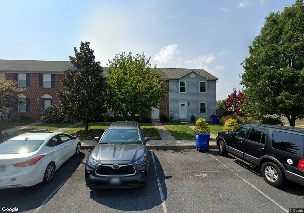
77 S Gala Unit 455 Littlestown, PA 17340
Estimated Value: $213,000 - $222,530
3
Beds
2
Baths
1,080
Sq Ft
$202/Sq Ft
Est. Value
About This Home
This home is located at 77 S Gala Unit 455, Littlestown, PA 17340 and is currently estimated at $218,133, approximately $201 per square foot. 77 S Gala Unit 455 is a home located in Adams County with nearby schools including Rolling Acres El School, Maple Avenue Middle School, and Littlestown Senior High School.
Ownership History
Date
Name
Owned For
Owner Type
Purchase Details
Closed on
Aug 29, 2022
Sold by
Sheriff Of Adams County
Bought by
Coastline Capital Llc
Current Estimated Value
Purchase Details
Closed on
Dec 27, 2005
Sold by
Jewell Deborah L and Robinson Deborah
Bought by
Robinson Wright and Robinson Deborah
Home Financials for this Owner
Home Financials are based on the most recent Mortgage that was taken out on this home.
Original Mortgage
$125,500
Interest Rate
8.5%
Mortgage Type
Adjustable Rate Mortgage/ARM
Create a Home Valuation Report for This Property
The Home Valuation Report is an in-depth analysis detailing your home's value as well as a comparison with similar homes in the area
Home Values in the Area
Average Home Value in this Area
Purchase History
| Date | Buyer | Sale Price | Title Company |
|---|---|---|---|
| Coastline Capital Llc | $153,000 | -- | |
| Robinson Wright | -- | -- |
Source: Public Records
Mortgage History
| Date | Status | Borrower | Loan Amount |
|---|---|---|---|
| Previous Owner | Robinson Wright | $125,500 |
Source: Public Records
Tax History Compared to Growth
Tax History
| Year | Tax Paid | Tax Assessment Tax Assessment Total Assessment is a certain percentage of the fair market value that is determined by local assessors to be the total taxable value of land and additions on the property. | Land | Improvement |
|---|---|---|---|---|
| 2025 | $3,168 | $137,800 | $26,900 | $110,900 |
| 2024 | $3,053 | $137,800 | $26,900 | $110,900 |
| 2023 | $2,934 | $137,800 | $26,900 | $110,900 |
| 2022 | $2,709 | $137,900 | $26,900 | $111,000 |
| 2021 | $2,832 | $137,900 | $26,900 | $111,000 |
| 2020 | $2,798 | $137,900 | $26,900 | $111,000 |
| 2019 | $2,715 | $137,900 | $26,900 | $111,000 |
| 2018 | $2,665 | $137,900 | $26,900 | $111,000 |
| 2017 | $2,597 | $137,900 | $26,900 | $111,000 |
| 2016 | -- | $137,900 | $26,900 | $111,000 |
| 2015 | -- | $137,900 | $26,900 | $111,000 |
| 2014 | -- | $137,900 | $26,900 | $111,000 |
Source: Public Records
Map
Nearby Homes
- 440 N Queen St
- 140 Apple Grove Ln Unit 425
- 161 Stoners Cir
- 58 Windsor Ct
- 20c Locust Dr
- 0 Locust Dr Unit PAAD2015910
- 22 Rita Marie Ave
- 162 Newark St
- 115 Charles St
- 117 Charles St
- 106 E King St
- 61 E King St
- 22 Cemetery St
- 241 M St
- 41 Smith Cir
- 1024 Frederick Pike Unit 6
- 15 Yorktowne Ct Unit 97
- 535 Lumber St
- 559 Lumber St
- 567 Lumber St
- 79 S Gala Unit 454
- 75 S Gala Unit 456
- 81 S Gala Unit 453
- 83 S Gala Unit 452
- 85 S Gala Unit 451
- 4 Johnamac S Unit 458
- 6 Johnamac N
- 6 Johnamac S Unit 459
- 2 Johnamac S Unit 457
- 8 Johnamac S Unit 460
- 52 N Gala Unit 394
- 10 Johnamac S Unit 461
- 54 N Gala Unit 395
- 12 Johnamac S Unit 462
- 1 Johnamac N Unit 393
- 14 Johnamac S Unit 463
- 56 N Gala Unit 396
- 3 Johnamac N Unit 392
- 87 S Gala Unit 450