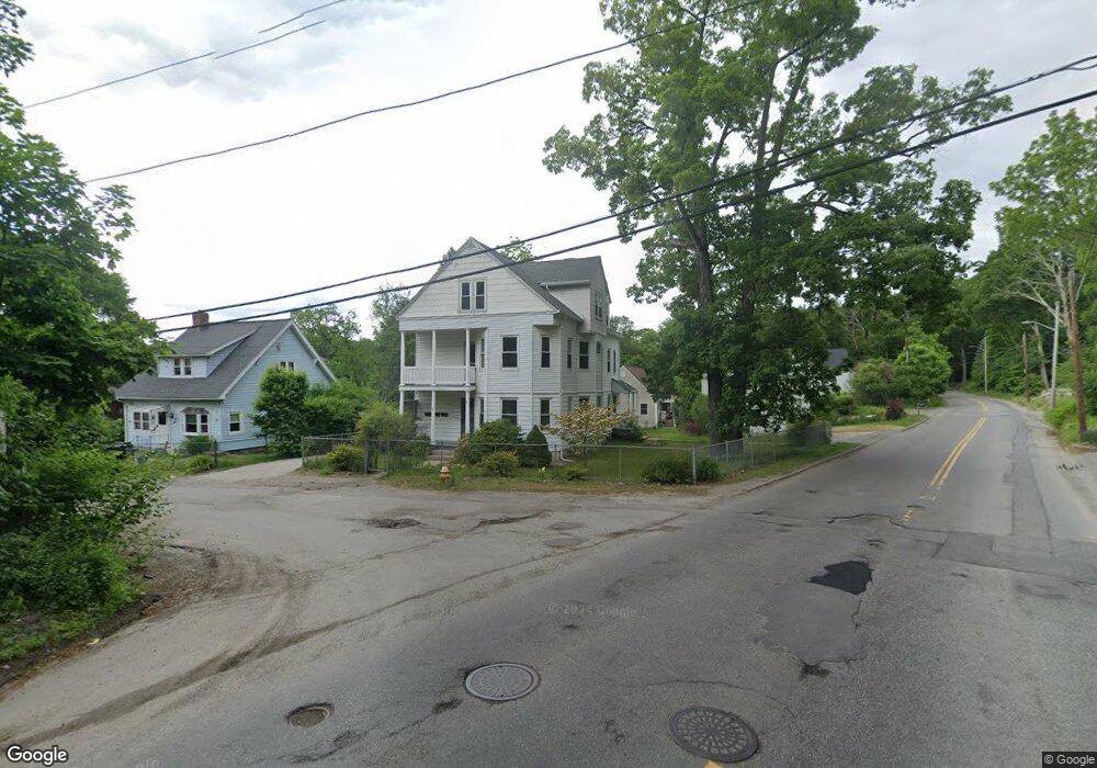
77 Saint Anthony St Unit 1 Worcester, MA 01607
Broadmeadow Brook NeighborhoodEstimated Value: $645,000 - $679,346
2
Beds
1
Bath
850
Sq Ft
$782/Sq Ft
Est. Value
About This Home
This home is located at 77 Saint Anthony St Unit 1, Worcester, MA 01607 and is currently estimated at $664,587, approximately $781 per square foot. 77 Saint Anthony St Unit 1 is a home located in Worcester County with nearby schools including Quinsigamond School, Jacob Hiatt Magnet School, and Chandler Magnet.
Create a Home Valuation Report for This Property
The Home Valuation Report is an in-depth analysis detailing your home's value as well as a comparison with similar homes in the area
Home Values in the Area
Average Home Value in this Area
Tax History Compared to Growth
Tax History
| Year | Tax Paid | Tax Assessment Tax Assessment Total Assessment is a certain percentage of the fair market value that is determined by local assessors to be the total taxable value of land and additions on the property. | Land | Improvement |
|---|---|---|---|---|
| 2025 | $7,393 | $560,500 | $119,100 | $441,400 |
| 2024 | $6,919 | $503,200 | $119,100 | $384,100 |
| 2023 | $6,618 | $461,500 | $103,600 | $357,900 |
| 2022 | $5,797 | $381,100 | $82,800 | $298,300 |
| 2021 | $5,180 | $318,200 | $66,300 | $251,900 |
| 2020 | $4,879 | $287,000 | $66,200 | $220,800 |
| 2019 | $4,889 | $271,600 | $59,800 | $211,800 |
| 2018 | $3,735 | $197,500 | $59,800 | $137,700 |
| 2017 | $3,565 | $185,500 | $59,800 | $125,700 |
| 2016 | $3,343 | $162,200 | $44,800 | $117,400 |
| 2015 | $3,255 | $162,200 | $44,800 | $117,400 |
| 2014 | $3,169 | $162,200 | $44,800 | $117,400 |
Source: Public Records
Map
Nearby Homes
- 405 Granite St
- 10 Gensell Ave
- 422 Granite St
- 4 Crest Ave
- 1295 Millbury St Unit B
- 103 Blackstone River Rd
- 78 Greenwood St
- 11 Gibbs St Unit 12
- 29 Steele St
- 55 Whipple St
- 17 Thenius St
- 145 Loxwood St
- 10 Steele St
- 7 Lorraine Rd
- 266 Massasoit Rd
- 1 Broadmeadow Ave
- 259 Massasoit Rd
- 15 Clearview Terrace Unit 68
- 55 Tennyson St
- 557 SW Cutoff Unit 79
- 77 Saint Anthony St
- 75 Saint Anthony St
- 0 Aurora St
- 374 Granite St
- 69 Saint Anthony St
- 381 Granite St
- 370 Granite St
- 70 Saint Anthony St
- 2A Aurora St
- 2 Aurora St
- 1 Aurora St
- 390 Granite St
- 387 Granite St
- 23 Aurora St
- 17 Beckland St
- 9 Beckland St
- 10 Beckland St
- 3 Aurora St
- 20 Aurora St
- 365 Granite St