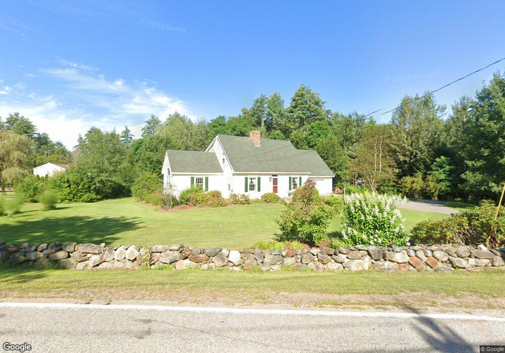
77 Sanborn Rd Concord, NH 03301
East Concord NeighborhoodEstimated Value: $616,000 - $686,000
About This Home
This home is located at 77 Sanborn Rd, Concord, NH 03301 and is currently estimated at $634,497, approximately $344 per square foot. 77 Sanborn Rd is a home located in Merrimack County with nearby schools including Broken Ground School, Rundlett Middle School, and Concord High School.
Ownership History
We collect this data history from publicly available records. To have your information removed, we recommend requesting removal directly through your county’s website.
Purchase Details
Purchase Details
Home Financials for this Owner
Home Financials are based on the most recent Mortgage that was taken out on this home.Home Values in the Area
Average Home Value in this Area
Purchase History
We collect this data history from publicly available records. To have your information removed, we recommend requesting removal directly through your county’s website.
| Date | Buyer | Sale Price | Title Company |
|---|---|---|---|
| -- | -- | ||
| $22,000 | -- |
Mortgage History
We collect this data history from publicly available records. To have your information removed, we recommend requesting removal directly through your county’s website.
| Date | Status | Borrower | Loan Amount |
|---|---|---|---|
| Previous Owner | $24,000 | ||
| Previous Owner | $70,000 |
Tax History
We collect this data history from publicly available records. To have your information removed, we recommend requesting removal directly through your county’s website.
| Year | Tax Paid | Tax Assessment Tax Assessment Total Assessment is a certain percentage of the fair market value that is determined by local assessors to be the total taxable value of land and additions on the property. | Land | Improvement |
|---|---|---|---|---|
| 2025 | $11,172 | $383,800 | $149,700 | $234,100 |
| 2024 | $10,627 | $383,800 | $149,700 | $234,100 |
| 2023 | $10,309 | $383,800 | $149,700 | $234,100 |
| 2022 | $9,937 | $383,800 | $149,700 | $234,100 |
| 2021 | $9,606 | $382,400 | $149,700 | $232,700 |
| 2020 | $8,721 | $325,900 | $86,900 | $239,000 |
| 2019 | $8,453 | $304,300 | $83,400 | $220,900 |
| 2018 | $8,164 | $289,600 | $83,400 | $206,200 |
| 2017 | $7,834 | $277,400 | $80,300 | $197,100 |
| 2016 | $7,335 | $270,500 | $80,300 | $190,200 |
| 2015 | $7,122 | $263,900 | $79,400 | $184,500 |
| 2014 | $6,772 | $263,900 | $79,400 | $184,500 |
| 2013 | -- | $246,800 | $79,400 | $167,400 |
| 2012 | -- | $240,100 | $83,400 | $156,700 |
Map
- 8 Freedom Acres Dr
- 6 Shelburne Ln
- 2 Fox Run
- 372 Mountain Rd
- 137 Snow Pond Rd
- 563 Mountain Rd
- 9 Checkerberry Ln
- 287 Hoit Rd
- 127 Sewalls Falls Rd
- 86 Manor Rd
- 59 Hobart St
- 72 Oakmont Dr
- 24 Foxcross Cir
- 107 Sewalls Falls Rd
- 8 Nasturtium Terrace
- 91 Community Dr
- 26 Cross St
- 105 Sewalls Falls Rd
- 12 Cross St Unit 201
- 120 Fisherville Rd Unit 176
Ask me questions while you tour the home.