77 Skyhawk Dr Eagle Point, OR 97524
Estimated Value: $459,231 - $528,000
3
Beds
2
Baths
2,132
Sq Ft
$234/Sq Ft
Est. Value
About This Home
This home is located at 77 Skyhawk Dr, Eagle Point, OR 97524 and is currently estimated at $498,058, approximately $233 per square foot. 77 Skyhawk Dr is a home located in Jackson County with nearby schools including White Mountain Middle School, Eagle Point Middle School, and Eagle Point High School.
Ownership History
Date
Name
Owned For
Owner Type
Purchase Details
Closed on
Jul 25, 2018
Sold by
Tolmie Ida M
Bought by
Tolmie Ida M and Morgan Sidney A
Current Estimated Value
Purchase Details
Closed on
Jan 28, 2004
Sold by
Poppy Village Town Homes Llc
Bought by
Tolmie Bruce R and Tolmie Ida M
Home Financials for this Owner
Home Financials are based on the most recent Mortgage that was taken out on this home.
Original Mortgage
$50,000
Outstanding Balance
$22,675
Interest Rate
5.8%
Mortgage Type
Purchase Money Mortgage
Estimated Equity
$475,383
Create a Home Valuation Report for This Property
The Home Valuation Report is an in-depth analysis detailing your home's value as well as a comparison with similar homes in the area
Home Values in the Area
Average Home Value in this Area
Purchase History
| Date | Buyer | Sale Price | Title Company |
|---|---|---|---|
| Tolmie Ida M | -- | None Available | |
| Tolmie Bruce R | $275,136 | Lawyers Title Insurance Corp |
Source: Public Records
Mortgage History
| Date | Status | Borrower | Loan Amount |
|---|---|---|---|
| Open | Tolmie Bruce R | $50,000 |
Source: Public Records
Tax History
| Year | Tax Paid | Tax Assessment Tax Assessment Total Assessment is a certain percentage of the fair market value that is determined by local assessors to be the total taxable value of land and additions on the property. | Land | Improvement |
|---|---|---|---|---|
| 2026 | $3,962 | $287,800 | $118,000 | $169,800 |
| 2025 | $3,869 | $282,730 | $116,390 | $166,340 |
| 2024 | $3,869 | $274,500 | $113,000 | $161,500 |
| 2023 | $3,738 | $266,510 | $109,710 | $156,800 |
| 2022 | $3,636 | $266,510 | $109,710 | $156,800 |
| 2021 | $3,528 | $258,750 | $106,520 | $152,230 |
| 2020 | $3,748 | $251,220 | $103,420 | $147,800 |
| 2019 | $3,691 | $236,810 | $97,490 | $139,320 |
| 2018 | $3,620 | $229,920 | $94,650 | $135,270 |
| 2017 | $3,532 | $229,920 | $94,650 | $135,270 |
| 2016 | $3,463 | $216,730 | $89,220 | $127,510 |
| 2015 | $3,349 | $216,730 | $89,220 | $127,510 |
| 2014 | $3,254 | $204,300 | $84,100 | $120,200 |
Source: Public Records
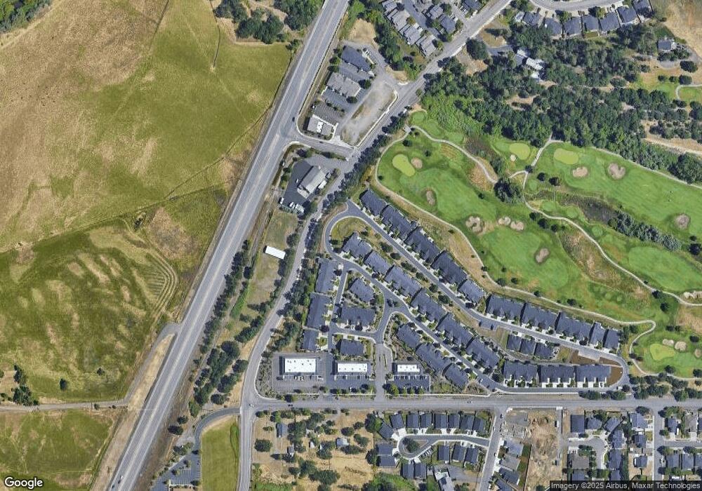
Map
Nearby Homes
- 91 Morning Dove Trail
- 51 Broken Stone Way
- 1314 S Shasta Ave Unit A
- 179 Skyhawk Dr
- 1288 S Shasta Ave
- 1065 S Shasta Ave
- 16 Terra Linda Ct
- 135 Hidden Valley Dr
- 637 Oak Wood
- 10569 Hannon Rd
- 19 Pine Ct
- 16 Portabello Way
- 837 S Royal Ave
- 13 Portabello Way
- 133 Edith Cir
- 31 Wildwood Dr
- 0 Echo Way Unit Tax Lot 902
- 0 Echo Way Unit 220215112
- 0 Echo Way Unit Tax Lot 901
- 0 Echo Way Unit Tax Lot 900
- 83 Skyhawk Dr
- 89 Skyhawk Dr
- 63 Broken Stone Way
- 95 Skyhawk Dr
- 94 Skyhawk Dr
- 57 Broken Stone Way
- 71 Morning Dove Trail
- 85 Morning Dove Trail
- 65 Morning Dove Trail
- 101 Skyhawk Dr
- 108 Skyhawk Dr
- 97 Morning Dove Trail
- 45 Broken Stone Way
- 107 Skyhawk Dr
- 103 Morning Dove Trail
- 103 Sandridge Way
- 109 Morning Dove Trail
- 109 Sandridge Way
- 39 Broken Stone Way
- 115 Sandridge Way
Your Personal Tour Guide
Ask me questions while you tour the home.