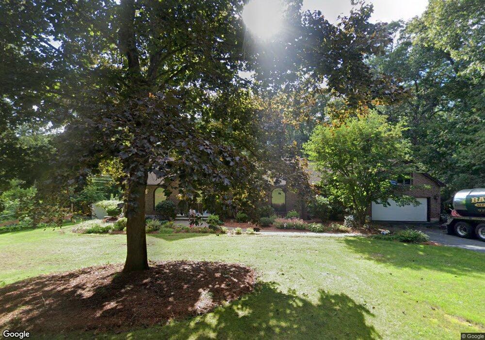
77 Spring Grove Rd Andover, MA 01810
Southern Andover NeighborhoodEstimated Value: $1,214,000 - $1,629,000
4
Beds
3
Baths
2,554
Sq Ft
$562/Sq Ft
Est. Value
About This Home
This home is located at 77 Spring Grove Rd, Andover, MA 01810 and is currently estimated at $1,435,030, approximately $561 per square foot. 77 Spring Grove Rd is a home located in Essex County with nearby schools including South Elementary School, Doherty Middle School, and Andover High School.
Ownership History
Date
Name
Owned For
Owner Type
Purchase Details
Closed on
Jun 10, 2011
Sold by
77 Spring Grove Road N and Infurna
Bought by
Tran Nga and Tran Dinhduy
Current Estimated Value
Home Financials for this Owner
Home Financials are based on the most recent Mortgage that was taken out on this home.
Original Mortgage
$520,000
Interest Rate
4.01%
Mortgage Type
Purchase Money Mortgage
Purchase Details
Closed on
Oct 9, 2008
Sold by
Infurna Philip and Infurna Linda A
Bought by
77 Spring Grove Nt and Infurna
Create a Home Valuation Report for This Property
The Home Valuation Report is an in-depth analysis detailing your home's value as well as a comparison with similar homes in the area
Home Values in the Area
Average Home Value in this Area
Purchase History
We collect this data history from publicly available records. To have your information removed, we recommend requesting removal directly through your county’s website.
| Date | Buyer | Sale Price | Title Company |
|---|---|---|---|
| Tran Nga | $650,000 | -- | |
| Tran Nga | $650,000 | -- | |
| Tran Nga | $650,000 | -- | |
| 77 Spring Grove Nt | -- | -- | |
| 77 Spring Grove Nt | -- | -- | |
| 77 Spring Grove Nt | -- | -- |
Source: Public Records
Mortgage History
We collect this data history from publicly available records. To have your information removed, we recommend requesting removal directly through your county’s website.
| Date | Status | Borrower | Loan Amount |
|---|---|---|---|
| Open | 77 Spring Grove Nt | $465,000 | |
| Closed | Tran Nga | $520,000 |
Source: Public Records
Tax History
| Year | Tax Paid | Tax Assessment Tax Assessment Total Assessment is a certain percentage of the fair market value that is determined by local assessors to be the total taxable value of land and additions on the property. | Land | Improvement |
|---|---|---|---|---|
| 2025 | $14,109 | $1,129,600 | $619,300 | $510,300 |
| 2024 | $13,314 | $1,033,700 | $567,300 | $466,400 |
| 2023 | $12,790 | $936,300 | $511,000 | $425,300 |
| 2022 | $12,014 | $822,900 | $452,300 | $370,600 |
| 2021 | $11,544 | $755,000 | $411,100 | $343,900 |
| 2020 | $11,109 | $740,100 | $401,100 | $339,000 |
| 2019 | $10,968 | $718,300 | $385,500 | $332,800 |
| 2018 | $10,532 | $673,400 | $363,600 | $309,800 |
| 2017 | $10,105 | $665,700 | $356,400 | $309,300 |
| 2016 | $9,898 | $667,900 | $356,400 | $311,500 |
| 2015 | $9,573 | $639,500 | $342,800 | $296,700 |
Source: Public Records
Map
Nearby Homes
- 75 Spring Grove Rd
- 56 Sunset Rock Rd
- 139 Hidden Rd
- 28 Ballardvale Rd
- 275 S Main St
- 14 Ballardvale Rd
- 340 S Main St
- 99 Sunset Rock Rd
- 3 Regency Ridge
- 232 Andover St
- 13 Pinecrest Rd
- 18 Dale St Unit 9D
- 5 Powers Rd
- 32 River St
- 1 Delisio Dr
- 49 Salem St
- 1 Hunter Dr
- 5 Hillcrest Rd
- 22 Stinson Rd
- 10 Hawk Ridge Rd
- 76 Spring Grove Rd
- 74 Spring Grove Rd
- 1 West Hollow
- 84 Spring Grove Rd
- 80 Spring Grove Rd
- 2 West Hollow
- 88 Spring Grove Rd
- 65 Spring Grove Rd
- 64 Spring Grove Rd
- 63 Spring Grove Rd
- 23 Timothy Dr
- 98 Spring Grove Rd
- 93 Spring Grove Rd
- 82 Porter Rd
- 60 Spring Grove Rd Vrm#45
- 60 Spring Grove Rd
- 78 Porter Rd
- 5 West Hollow
- 21 Timothy Dr
- 26 Timothy Dr
Your Personal Tour Guide
Ask me questions while you tour the home.