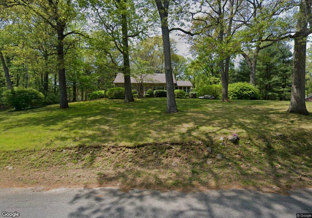
77 Staples Rd Easton, CT 06612
Estimated Value: $566,000 - $729,616
4
Beds
3
Baths
1,884
Sq Ft
$338/Sq Ft
Est. Value
About This Home
This home is located at 77 Staples Rd, Easton, CT 06612 and is currently estimated at $636,404, approximately $337 per square foot. 77 Staples Rd is a home located in Fairfield County with nearby schools including Samuel Staples Elementary School, Helen Keller Middle School, and Joel Barlow High School.
Ownership History
Date
Name
Owned For
Owner Type
Purchase Details
Closed on
Jun 15, 2021
Sold by
Barrett Patrice M
Bought by
Toth Robert J and Campbell-Toth Jessica
Current Estimated Value
Home Financials for this Owner
Home Financials are based on the most recent Mortgage that was taken out on this home.
Original Mortgage
$476,215
Outstanding Balance
$429,271
Interest Rate
2.9%
Mortgage Type
FHA
Estimated Equity
$207,133
Purchase Details
Closed on
Jan 17, 2002
Sold by
Cristiano Ruth M Est
Bought by
Hennessey Robert and Barrett Patrice M
Home Financials for this Owner
Home Financials are based on the most recent Mortgage that was taken out on this home.
Original Mortgage
$272,000
Interest Rate
6.84%
Create a Home Valuation Report for This Property
The Home Valuation Report is an in-depth analysis detailing your home's value as well as a comparison with similar homes in the area
Home Values in the Area
Average Home Value in this Area
Purchase History
| Date | Buyer | Sale Price | Title Company |
|---|---|---|---|
| Toth Robert J | $485,000 | None Available | |
| Toth Robert J | $485,000 | None Available | |
| Hennessey Robert | $340,000 | -- | |
| Hennessey Robert | $340,000 | -- |
Source: Public Records
Mortgage History
| Date | Status | Borrower | Loan Amount |
|---|---|---|---|
| Open | Toth Robert J | $476,215 | |
| Closed | Toth Robert J | $476,215 | |
| Previous Owner | Hennessey Robert | $23,200 | |
| Previous Owner | Hennessey Robert | $272,000 |
Source: Public Records
Tax History
| Year | Tax Paid | Tax Assessment Tax Assessment Total Assessment is a certain percentage of the fair market value that is determined by local assessors to be the total taxable value of land and additions on the property. | Land | Improvement |
|---|---|---|---|---|
| 2025 | $10,594 | $341,740 | $154,350 | $187,390 |
| 2024 | $10,095 | $341,740 | $154,350 | $187,390 |
| 2023 | $9,897 | $341,740 | $154,350 | $187,390 |
| 2022 | $9,719 | $341,740 | $154,350 | $187,390 |
| 2021 | $10,402 | $321,540 | $180,660 | $140,880 |
| 2020 | $9,968 | $321,540 | $180,660 | $140,880 |
| 2019 | $10,074 | $321,540 | $180,660 | $140,880 |
| 2018 | $10,090 | $321,540 | $180,660 | $140,880 |
| 2017 | $10,733 | $321,540 | $180,660 | $140,880 |
| 2016 | $10,344 | $335,730 | $215,600 | $120,130 |
| 2015 | $10,199 | $335,730 | $215,600 | $120,130 |
| 2014 | $10,038 | $335,730 | $215,600 | $120,130 |
Source: Public Records
Map
Nearby Homes
- 85 Westport Rd
- 664 Sport Hill Rd
- 897 Sport Hill Rd
- 101 Northwood Dr
- 45 Martin Ln
- 340 Morehouse Rd
- 305 Sport Hill Rd
- 51 Wilson Rd
- 33 Reilly Rd
- 126 Rolling Hills Dr
- 103 Davis Hill Rd
- 12 Ridgeway Rd
- 54 Rock House Rd
- 78 Old Tree Farm Ln
- 235 Rock House Rd
- 16 Robin Hood Ln
- 140 Mile Common Rd
- 9 Pepperbush Rd
- 145 Sherwood Rd
- 14 Codfish Ln
Your Personal Tour Guide
Ask me questions while you tour the home.