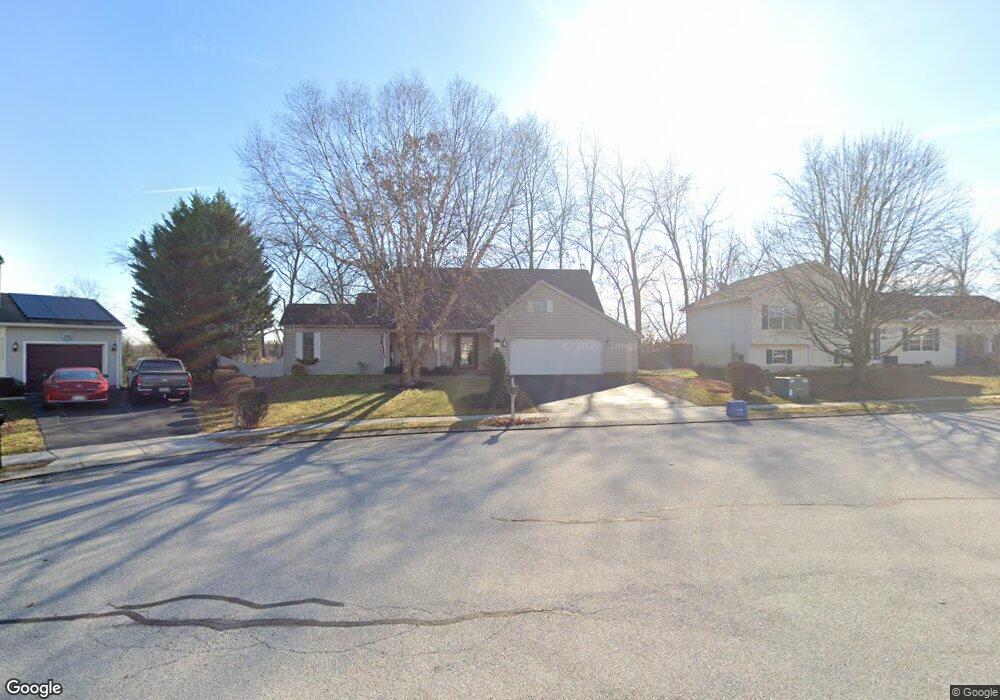
77 Test Rd Hanover, PA 17331
Estimated Value: $350,754 - $393,000
2
Beds
2
Baths
2,252
Sq Ft
$165/Sq Ft
Est. Value
About This Home
This home is located at 77 Test Rd, Hanover, PA 17331 and is currently estimated at $370,939, approximately $164 per square foot. 77 Test Rd is a home located in York County with nearby schools including South Western Senior High School and Hanover Mennonite School.
Ownership History
Date
Name
Owned For
Owner Type
Purchase Details
Closed on
Jul 26, 2005
Sold by
Crooks Melvin E and Crooks Marilyn B
Bought by
Rebert Lynn C and Rebert Beth G
Current Estimated Value
Home Financials for this Owner
Home Financials are based on the most recent Mortgage that was taken out on this home.
Original Mortgage
$192,000
Outstanding Balance
$98,371
Interest Rate
5.67%
Mortgage Type
Fannie Mae Freddie Mac
Estimated Equity
$272,568
Purchase Details
Closed on
Apr 21, 1997
Bought by
Crooks Melvin E and Crooks Marilyn B
Create a Home Valuation Report for This Property
The Home Valuation Report is an in-depth analysis detailing your home's value as well as a comparison with similar homes in the area
Home Values in the Area
Average Home Value in this Area
Purchase History
| Date | Buyer | Sale Price | Title Company |
|---|---|---|---|
| Rebert Lynn C | $240,000 | -- | |
| Crooks Melvin E | $35,000 | -- |
Source: Public Records
Mortgage History
| Date | Status | Borrower | Loan Amount |
|---|---|---|---|
| Open | Rebert Lynn C | $192,000 |
Source: Public Records
Tax History
| Year | Tax Paid | Tax Assessment Tax Assessment Total Assessment is a certain percentage of the fair market value that is determined by local assessors to be the total taxable value of land and additions on the property. | Land | Improvement |
|---|---|---|---|---|
| 2025 | $6,656 | $197,500 | $28,460 | $169,040 |
| 2024 | $6,656 | $197,500 | $28,460 | $169,040 |
| 2023 | $6,537 | $197,500 | $28,460 | $169,040 |
| 2022 | $6,397 | $197,500 | $28,460 | $169,040 |
| 2021 | $6,047 | $197,500 | $28,460 | $169,040 |
| 2020 | $6,047 | $197,500 | $28,460 | $169,040 |
| 2019 | $5,931 | $197,500 | $28,460 | $169,040 |
| 2018 | $5,853 | $197,500 | $28,460 | $169,040 |
| 2017 | $5,718 | $197,500 | $28,460 | $169,040 |
| 2016 | $0 | $197,500 | $28,460 | $169,040 |
| 2015 | -- | $197,500 | $28,460 | $169,040 |
| 2014 | -- | $197,500 | $28,460 | $169,040 |
Source: Public Records
Map
Nearby Homes
- 1678 Beech Ln
- 1686 Taylor Dr
- 1440 Broadway
- 1329 Broadway
- 129 Summerfield Dr
- 1006 E Walnut St
- 316 Moul Ave
- 869 E Walnut St
- 1065 Beaver Creek Rd
- 344 Foxleigh Dr
- 226 Moul Ave
- 405 Clearview Rd
- 440 Grant Dr
- 191 Moul Ave
- 712 Spencer Dr
- 854 Blossom Dr
- 717 E Walnut St
- 729 Blossom Dr
- 6759 Moulstown Rd E
- 245 Kennedy Ct
Your Personal Tour Guide
Ask me questions while you tour the home.