Estimated Value: $588,360 - $875,000
3
Beds
3
Baths
3,352
Sq Ft
$225/Sq Ft
Est. Value
About This Home
This home is located at 77 Timothy Ln E, Elma, WA 98541 and is currently estimated at $755,590, approximately $225 per square foot. 77 Timothy Ln E is a home located in Grays Harbor County with nearby schools including Elma Elementary School, Elma Middle School, and Elma High School.
Ownership History
Date
Name
Owned For
Owner Type
Purchase Details
Closed on
Jul 30, 2010
Sold by
Richmond Wendy D
Bought by
Buck Julie M and Paulsen Patrick M
Current Estimated Value
Home Financials for this Owner
Home Financials are based on the most recent Mortgage that was taken out on this home.
Original Mortgage
$308,750
Outstanding Balance
$202,662
Interest Rate
4.71%
Mortgage Type
New Conventional
Estimated Equity
$552,928
Create a Home Valuation Report for This Property
The Home Valuation Report is an in-depth analysis detailing your home's value as well as a comparison with similar homes in the area
Purchase History
| Date | Buyer | Sale Price | Title Company |
|---|---|---|---|
| Buck Julie M | $325,000 | Coast Title |
Source: Public Records
Mortgage History
| Date | Status | Borrower | Loan Amount |
|---|---|---|---|
| Open | Buck Julie M | $308,750 |
Source: Public Records
Tax History
| Year | Tax Paid | Tax Assessment Tax Assessment Total Assessment is a certain percentage of the fair market value that is determined by local assessors to be the total taxable value of land and additions on the property. | Land | Improvement |
|---|---|---|---|---|
| 2025 | $4,269 | $468,731 | $125,281 | $343,450 |
| 2023 | $4,456 | $468,731 | $125,281 | $343,450 |
| 2022 | $4,652 | $437,448 | $100,225 | $337,223 |
| 2021 | $3,818 | $437,448 | $100,225 | $337,223 |
| 2020 | $3,856 | $324,656 | $78,000 | $246,656 |
| 2019 | $3,623 | $324,656 | $78,000 | $246,656 |
| 2018 | $4,386 | $324,656 | $78,000 | $246,656 |
| 2017 | $3,983 | $311,656 | $65,000 | $246,656 |
| 2016 | $3,722 | $299,910 | $65,000 | $234,910 |
| 2014 | -- | $285,870 | $50,900 | $234,970 |
| 2013 | -- | $299,790 | $50,900 | $248,890 |
Source: Public Records
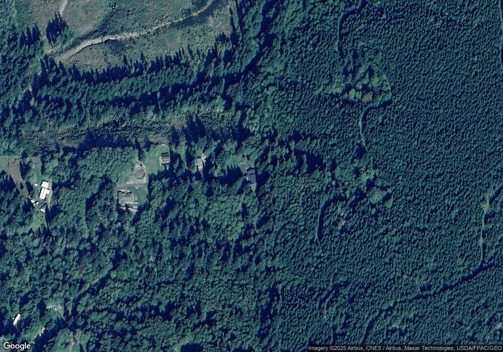
Map
Nearby Homes
- 5 Meadow Hills Ln
- 6 Rosemary Ln S
- 15 Heise Rd S
- 128 S Union Rd
- 129 Marquee Ln
- 385 Elma McCleary Rd
- 55 Meadowood Dr
- 23 Odonnall Ave
- 938 Mox Chehalis Rd
- 5051 U S 12
- 482 W Elma Hicklin Rd
- 25 Carol Ln
- 18 Overlake Ln
- 1285 Mox Chehalis Rd
- 11 E Mox Chehalis Rd
- 310 W Pine St
- 320 S 4th St
- 504 S 6th St
- 1359 Mox Chehalis Rd
- 0 Garden Hill Rd W
- 73 Timothy Ln E
- 59 Timothy Ln E
- 309 S Union Rd
- 49 Timothy Ln E
- 303 S Union Rd
- 29 Timothy Ln E
- 20 Timothy Ln E
- 24 Timothy Ln W
- 33 Timothy Ln W
- 46 Timothy Ln W
- 302 S Union Rd
- 55 Timothy Ln W
- 51 Timothy Ln W
- 39 Timothy Ln W
- 300 S Union Rd
- 268 S Union Rd
- 269 S Union Rd
- 265 S Union Rd
- 37 Timothy Ln W
- 264 S Union Rd
Your Personal Tour Guide
Ask me questions while you tour the home.