77 Tower Rock Rd Cascade, MT 59421
Estimated Value: $863,000 - $983,000
3
Beds
3
Baths
1,336
Sq Ft
$697/Sq Ft
Est. Value
About This Home
This home is located at 77 Tower Rock Rd, Cascade, MT 59421 and is currently estimated at $931,591, approximately $697 per square foot. 77 Tower Rock Rd is a home located in Cascade County with nearby schools including Cascade School, Cascade Junior High School, and Cascade High School.
Ownership History
Date
Name
Owned For
Owner Type
Purchase Details
Closed on
Oct 10, 2019
Sold by
Lais Donald W and Lais Paula M
Bought by
Anderson Gyme and Anderson Dennis Debra
Current Estimated Value
Purchase Details
Closed on
Jun 19, 2019
Sold by
Lais Donald W and Lais Paula M
Bought by
Anderson Gyme and Anderson Dennis Debra
Purchase Details
Closed on
May 28, 2015
Sold by
Dennis Debra R
Bought by
Anderson Gyme T and Anderson Dennis Debra
Purchase Details
Closed on
May 1, 2015
Sold by
Dennis Debra R and Dennis Debbie
Bought by
Anderson Gyme T and Anderson Dennis Debra
Purchase Details
Closed on
Aug 27, 2014
Sold by
Anderson Gayne T and Anderson Gyne
Bought by
Dennis Debra R and Dennis Debbie
Purchase Details
Closed on
Nov 20, 2012
Sold by
Drake A George A and Drake Vivian
Bought by
Anderson Gyme T and Anderson Dennis Debra
Purchase Details
Closed on
Nov 29, 2010
Sold by
Square Butte Grain Co
Bought by
Anderson Gym and Anderson Dennis Debbie
Purchase Details
Closed on
Jan 26, 2010
Sold by
Lais Donald W and Lais Paula M
Bought by
Anderson Gyme T and Anderson Dennis Debbie
Purchase Details
Closed on
Aug 22, 2008
Sold by
Warhank Dave and Warhank David
Bought by
Anderson Gyme and Anderson Dennis Debbie
Purchase Details
Closed on
Aug 3, 2007
Sold by
Anderson Gyme T
Bought by
Anderson Gyme T and Anderson Dennis Debbie
Home Financials for this Owner
Home Financials are based on the most recent Mortgage that was taken out on this home.
Original Mortgage
$265,000
Interest Rate
6.66%
Mortgage Type
New Conventional
Purchase Details
Closed on
Aug 2, 2007
Sold by
Folsom Grayce and Folsom Lorraine Ramos
Bought by
Anderson Gyme T
Home Financials for this Owner
Home Financials are based on the most recent Mortgage that was taken out on this home.
Original Mortgage
$265,000
Interest Rate
6.66%
Mortgage Type
New Conventional
Create a Home Valuation Report for This Property
The Home Valuation Report is an in-depth analysis detailing your home's value as well as a comparison with similar homes in the area
Purchase History
| Date | Buyer | Sale Price | Title Company |
|---|---|---|---|
| Anderson Gyme | -- | None Available | |
| Anderson Gyme | -- | None Available | |
| Anderson Gyme | -- | None Available | |
| Anderson Gyme | -- | None Available | |
| Anderson Gyme T | -- | None Available | |
| Anderson Gyme T | -- | None Available | |
| Dennis Debra R | -- | None Available | |
| Dennis Debra R | -- | None Available | |
| Dennis Debra R | -- | None Available | |
| Dennis Debra R | -- | None Available | |
| Dennis Debra R | -- | None Available | |
| Anderson Gyme T | -- | First American Title Company | |
| Anderson Gym | -- | Chicago Title | |
| Anderson Gyme T | -- | None Available | |
| Anderson Gyme | -- | Chicago Title Insurance Comp | |
| Anderson Gyme T | -- | Chicago Title Insurance Comp | |
| Anderson Gyme T | -- | Chicago Title |
Source: Public Records
Mortgage History
| Date | Status | Borrower | Loan Amount |
|---|---|---|---|
| Previous Owner | Anderson Gyme T | $265,000 |
Source: Public Records
Tax History
| Year | Tax Paid | Tax Assessment Tax Assessment Total Assessment is a certain percentage of the fair market value that is determined by local assessors to be the total taxable value of land and additions on the property. | Land | Improvement |
|---|---|---|---|---|
| 2025 | $4,386 | $844,300 | $0 | $0 |
| 2024 | $5,155 | $802,500 | $0 | $0 |
| 2023 | $5,049 | $802,500 | $0 | $0 |
| 2022 | $3,026 | $428,300 | $0 | $0 |
| 2021 | $2,984 | $428,300 | $0 | $0 |
| 2020 | $3,048 | $407,000 | $0 | $0 |
| 2019 | $3,264 | $407,000 | $0 | $0 |
| 2018 | $2,892 | $350,300 | $0 | $0 |
| 2017 | $2,980 | $350,300 | $0 | $0 |
| 2016 | $3,277 | $364,400 | $0 | $0 |
| 2015 | $2,841 | $364,400 | $0 | $0 |
| 2014 | $3,032 | $200,128 | $0 | $0 |
Source: Public Records
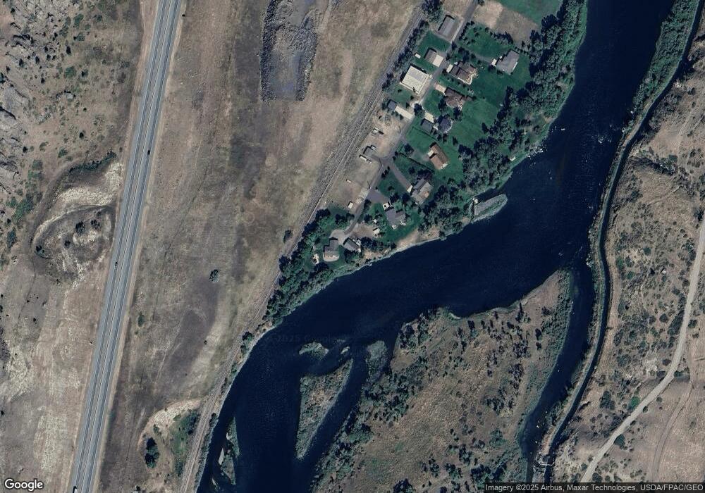
Map
Nearby Homes
- 71 Seibold Ln
- 2173 Old Us Hwy 91
- 2127 Old Us Highway 91
- NHN Old Us Hwy 91
- tbd Big Pine Ln
- 2107 Old Us Highway 91
- 2107 Old Us Hwy 91
- TBD Novak Creek Ln
- 0 Novak Creek Ln
- 0 Novak Creek Ln Unit 353229
- 146 Pioneer Trail Ln
- Lot 003 Pioneer Trail Ln Unit Lot 003
- lot 002 Pioneer Trail Ln
- Lot 1 Block 3 Pioneer Trail Ln
- 50 Missouri Overlook Dr
- 754 Sheep Creek Rd
- Nhn Outer Loop Rd
- 0 Box Canyon Ln Unit 23-64
- 2973 Old Us Highway 91
- NHN Big Pine Ln
- 73 Tower Rock Rd
- 69 Tower Rock Rd
- 65 Tower Rock Rd
- 61 Tower Rock Rd
- 57 Tower Rock Rd
- 53 Tower Rock Rd
- 49 Tower Rock Rd
- 41 Tower Rock Rd
- 37 Tower Rock Rd
- 33 Tower Rock Rd
- 30 Pistoria Ln
- 35 Pistoria Ln
- 29 Tower Rock Rd
- 9 Creek Crossing
- 17 Creek Crossing
- 0 Hardy Cr Exit
- 85 Seibold Ln
- 2 Hardy Creek Ln
- 2 Hardy Creek Ln
- 6 Hardy Creek Ln
Your Personal Tour Guide
Ask me questions while you tour the home.