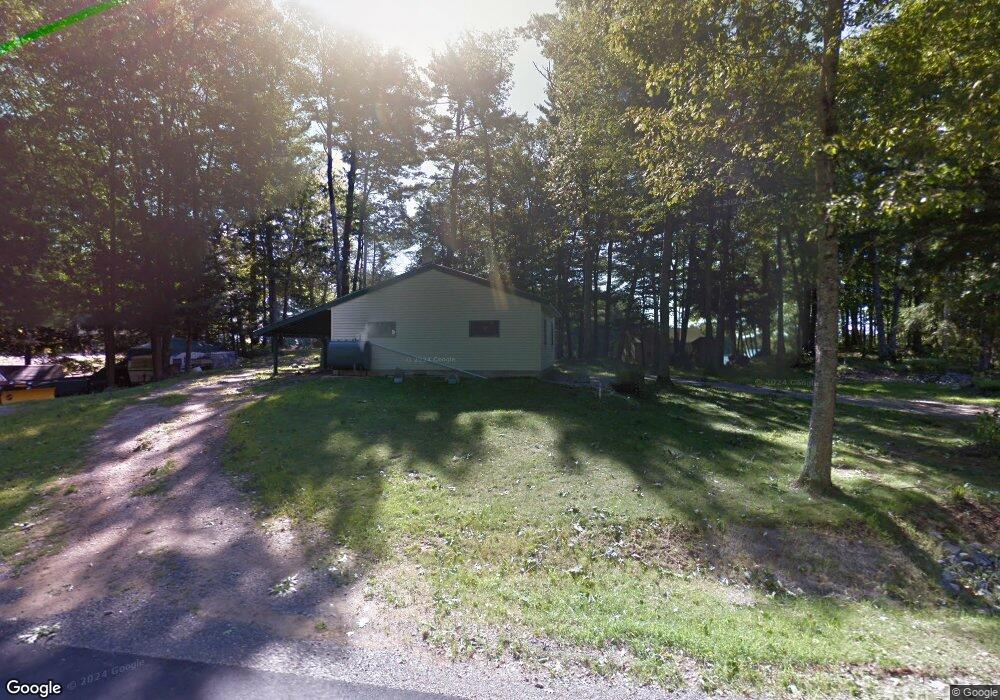
77 W 5th St North Berwick, ME 03906
South Sanford NeighborhoodEstimated Value: $383,000 - $595,000
2
Beds
2
Baths
448
Sq Ft
$1,017/Sq Ft
Est. Value
About This Home
This home is located at 77 W 5th St, North Berwick, ME 03906 and is currently estimated at $455,732, approximately $1,017 per square foot. 77 W 5th St is a home with nearby schools including Noble High School and Fraser-Ford Child Development Center.
Create a Home Valuation Report for This Property
The Home Valuation Report is an in-depth analysis detailing your home's value as well as a comparison with similar homes in the area
Home Values in the Area
Average Home Value in this Area
Tax History
| Year | Tax Paid | Tax Assessment Tax Assessment Total Assessment is a certain percentage of the fair market value that is determined by local assessors to be the total taxable value of land and additions on the property. | Land | Improvement |
|---|---|---|---|---|
| 2025 | $3,611 | $386,200 | $284,000 | $102,200 |
| 2024 | $3,801 | $380,100 | $285,800 | $94,300 |
| 2023 | $3,462 | $322,000 | $241,800 | $80,200 |
| 2022 | $2,502 | $224,400 | $175,900 | $48,500 |
| 2021 | $2,397 | $219,900 | $175,900 | $44,000 |
| 2020 | $3,079 | $198,000 | $158,100 | $39,900 |
| 2019 | $2,844 | $193,900 | $158,100 | $35,800 |
| 2018 | $2,470 | $191,500 | $158,100 | $33,400 |
| 2017 | $2,793 | $191,500 | $158,100 | $33,400 |
| 2016 | $2,413 | $191,500 | $158,100 | $33,400 |
| 2015 | $2,413 | $191,500 | $158,100 | $33,400 |
| 2013 | $2,384 | $191,500 | $158,100 | $33,400 |
Source: Public Records
Map
Nearby Homes
- 99 Channel Ln
- Lot 55-A Ford Quint Rd
- TBD Ridge Terrace Unit Lot 7
- TBD Ridge Terrace Unit Lot 6
- Lot 1 Ridge Terrace
- 26 Orioles Way
- 26 Great Works Dr
- Lot 3 Lentago Ln
- Lot 4 Tbd Lentago Ln Unit Lot 4
- 247 Sam Allen Rd
- 239 Sam Allen Rd
- 17 Airport Rd
- 70 Airport Rd
- 102 Country Club 1 Rd Unit 15A
- 102 Country Club 1 Rd Unit 11B
- 102 Country Club 1 Rd Unit 11A
- 0 Airport Rd Unit 1634997
- Lot 3 Gatehouse Rd
- Lot 1 Gatehouse Rd
- Lot 4 Gatehouse Rd
Your Personal Tour Guide
Ask me questions while you tour the home.